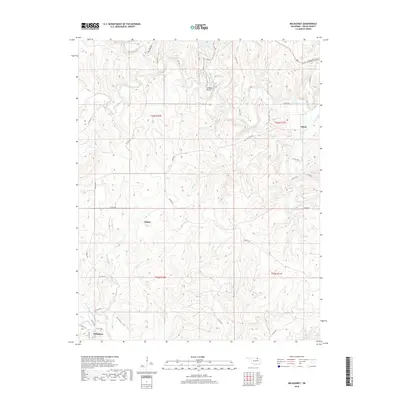
2018 Map of Nelagoney
USGS Topo · Published 2018About this map
Nelagoney and Kiheki anchor the southwestern portion of this Osage County landscape, where the terrain is defined by a dense network of drainages and upland ridges. The mapping reveals a rural infrastructure of county roads, such as Okesa Rd and Bartlesville Rd, connecting small settlements across the high ground. To the northeast, the community of Okesa sits near the headwaters of Sand Creek, a major waterway that winds through the northern sections alongside Peters Lake. Significant landmarks like Lookout Point and Lookout Lake provide clear orientation points within the dissected topography. The intricate hydrography, including Lost Cr, Cedar Cr, and Buffalo Cr, suggests a landscape shaped by significant seasonal runoff, while the various township and range lines indicate the enduring influence of the Public Land Survey System on modern Oklahoma property and road layouts.
Find a feature on this map
45 named features on this map. Tap any name to fly to it.
Don’t see what you’re looking for? This feature index may not catch every label — zoom into the map to look around manually.
Map Details
Editions of this 2018 Nelagoney Map
This is the sole edition of this map. No revisions or reprints were ever made.
Other maps of this area

1906 · Nelagoney
USGS Topo · 1:24,000

1909 · Pawhuska
USGS Topo · 1:125,000

1910 · Pawhuska
USGS Topo · 1:125,000

1955 · Enid
USGS Topo · 1:250,000

1958 · Enid
USGS Topo · 1:250,000

1960 · Nanos
USGS Topo · 1:24,000

1960 · Nelagoney
USGS Topo · 1:24,000

1960 · Herd
USGS Topo · 1:24,000

1960 · Pawhuska
USGS Topo · 1:24,000

1964 · Barnsdall
USGS Topo · 1:24,000