Old Maps of Pottawatomie County, Oklahoma for Hiking & Exploration
Hike through history with 151 historic maps of Pottawatomie County. Explore old trails, ghost towns, and forgotten backroads — perfect for outdoor adventurers and local explorers.
- Rediscover forgotten places: Map out old mining camps, roads, and footpaths that no longer exist on modern maps.
- Layer with modern tools: Combine with LiDAR or satellite views to plan hikes through historical terrain.
- Made for exploration: Popular among hikers, overlanders, and local history lovers.
Use these maps to find adventure and explore the hidden past of Pottawatomie County.
Pottawatomie County, OK maps
(151)- 1896 Map of Seminole and Prague
 1896 Seminole and Prague1896 Print · USGSOklahoma Territory and tribal nations meet in the mid-1890s along the North Fork Canadian River. Researchers can trace early tribal boundaries and find vanished locations like Mekosukey, Heliswa, and the Seminole Creek Nation Boundary.
 - 1898 Map of Purcell
 1898 Purcell1898 Print · USGSOklahoma and Indian Territory are captured at the end of the century during a period of rapid regional expansion. Genealogists and historians can trace the early rail alignment of the G C and S F R R as it passes through Purcell near Walnut Creek.
 - 1898 Map of Pauls Valley, 1954 Print
 1898 Pauls Valley1954 Print · USGSThe Chickasaw Nation is documented at the turn of the century, showing the rail-driven growth of the Washita River valley. Researchers can trace early settlements like Whitebead and Wynnewood along the Gulf Colorado and Santa Fe RR.
 - 1901 Map of Stonewall
 1901 Stonewall1901 Print · USGSBefore Oklahoma statehood, this late-century survey captures the Chickasaw Nation and Seminole Nation borderlands in high detail. Researchers can locate early schools like Collins Institute and trace the paths between settlements such as Stonewall, Ada, and Fitzhugh.4 unique versions available
 - 1902 Map of Pauls Valley
 1902 Pauls Valley1902 Print · USGSThe Chickasaw Nation at the turn of the century shows a landscape of river-valley agriculture and burgeoning rail towns. Genealogists and historians can trace the early footprints of Pauls Valley, Wynnewood, and Whitebead before statehood.5 unique versions available
 - 1907 Map of Maud, 1957 Print
 1907 Maud1957 Print · USGSPottawatomie County at the dawn of statehood shows a landscape of emerging rail towns and scattered country schoolhouses. Researchers can trace the early footprints of Maud and Pearson or locate family landmarks like Sacred Heart P O Georgetown and New Paradise School.
 - 1908 Map of Maud
 1908 Maud1908 Print · USGSCentral Oklahoma at the time of statehood shows a landscape of emerging rail towns and rural school districts. Genealogists can trace family roots through sites like Sacred Heart P.O. and Maud, or find vanished schoolhouses such as New Paradise School and Antioch Schools.3 unique versions available
 - 1909 Map of Shawnee
 1909 Shawnee1909 Print · USGSPottawatomie County thrives as a booming rail and agricultural center in the first years of Oklahoma statehood. Genealogists can trace the early grids of Shawnee and Tecumseh or find rural landmarks like Shawnee Mission and Econtuchka.3 unique versions available
 - 1910 Map of McComb
 1910 McComb1910 Print · USGSPottawatomie County was still transitioning from territorial days when this survey recorded its burgeoning rail towns and rural school districts. Researchers can find early landmarks like Solomons Temple School and Tribbey, or trace the path of the AT&SF RR through the local landscape.2 unique versions available
 - 1930 Map of McLoud
 1930 McLoud1930 Print · USGSCentral Oklahoma is captured in the late 1920s as a landscape of rural school districts and river crossings. Researchers can trace early settlements and family landmarks like the Kickapoo Mission, Sweeney Bridge, and the Moore & Nordin Gin.2 unique versions available
 - 1954 Map of Oklahoma City
 1954 Oklahoma City1954 Print · USGSOklahoma City and its surrounding counties are captured here in the early fifties during a period of significant postwar growth. Researchers can trace the development of the Turner Turnpike and locate aviation hubs like Tinker Field or Will Rogers Field.
 - 1956 Map of Harrah, 1957 Print
 1956 Harrah1957 Print · USGSOklahoma county lines and the winding river bottom highlight this mid-fifties survey of the frontier between central and eastern Oklahoma. Researchers can trace the path of the Indian Meridian and locate landmarks like Newalla, Texas Sch (Abandoned), and the oil wells scattered near the Cleveland County border.4 unique versions available
 - 1956 Map of Stella, 1957 Print
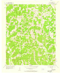 1956 Stella1957 Print · USGSCleveland County in the mid-1950s reveals a rural landscape shaped by the Little River and early oil exploration. Researchers can locate family landmarks like Stella Cem and several older sites such as the Red Hill Sch and Keebles Cem.5 unique versions available
 - 1957 Map of Ardmore, 1968 Print
 1957 Ardmore1968 Print · USGSSouth-central Oklahoma in the late fifties was a landscape of rising reservoir waters and expanding rail lines. Genealogists and historians can trace the foundations of Ardmore and Duncan or locate early recreation sites at Platt National Park and Lake Murray State Park.3 unique versions available
 - 1957 Map of Oklahoma City, 1969 Print
 1957 Oklahoma City1969 Print · USGSCentral Oklahoma is captured here in a period of significant mid-century growth and industrialization. Researchers can trace family roots through numerous rural markers like Memory Lane Cem, New Hope School, and the sprawling grounds of Tinker Air Force Base.3 unique versions available
 - 1958 Map of Tribbey, 1959 Print
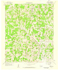 1958 Tribbey1959 Print · USGSPottawatomie County is captured in the late fifties, showing a rural landscape defined by small rail towns and energy development. Genealogists can trace family footprints at Tribbey Cem, Council Creek Ch, and Friendship Cem as they stood decades ago.2 unique versions available
 - 1958 Map of Little Axe, 1959 Print
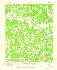 1958 Little Axe1959 Print · USGSCleveland County was a landscape of small missions and creek-side settlements in the late fifties, before significant modern expansion. Genealogists can locate family landmarks like Little Jim Mission, Etowah Church, and the Bethel Cemetery.5 unique versions available
 - 1958 Map of Pearson, 1959 Print
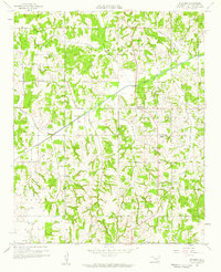 1958 Pearson1959 Print · USGSPottawatomie County oil fields and rural townships are captured here during the late 1950s petroleum boom. Researchers can locate family landmarks such as Romulus Cem, the Anderson Sch, and numerous oil wells scattered near Pearson.3 unique versions available
 - 1958 Map of Eason, 1959 Print
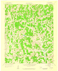 1958 Eason1959 Print · USGSCleveland and Pottawatomie counties in the late fifties show a landscape of rural schoolhouses and emerging infrastructure. Genealogists can locate family landmarks like Metcalf Cemetery, Shiloh Church, and the Griffin Memorial Hospital Annex.3 unique versions available
 - 1958 Map of Konawa, 1959 Print
 1958 Konawa1959 Print · USGSCentrally located in Oklahoma during the late fifties, this area showcases the intersection of oil exploration and rural settlement. Genealogists can trace family roots through sites like Sacred Heart, Antioch Ch, and the Vista Cem.3 unique versions available
 - 1963 Map of Ardmore
 1963 Ardmore1963 Print · USGSSouthern Oklahoma during the early sixties shows a landscape defined by the Arbuckle Mountains and a booming energy economy. Genealogists and historians can trace family-named sites across the Ardmore Oil Field, find old schools like Southeastern State College, or locate historic markers such as Boggy Depot State Park.2 unique versions available
 - 1963 Map of Oklahoma City
 1963 Oklahoma City1963 Print · USGSCentral Oklahoma in the early sixties showcases a landscape of rapid suburban growth and established oil production. Researchers can trace historic rail lines like the Chicago Rock Island and Pacific RR or locate rural landmarks such as Mayflower School and Bethel Church.
 - 1965 Map of Rosedale, 1966 Print
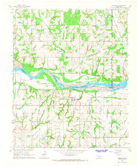 1965 Rosedale1966 Print · USGSCentrally located on the Oklahoma prairie in the mid-sixties, this area shows the intersection of three counties along the Canadian River. Genealogists can trace family names and locations via landmarks like Rosedale Cem, Douglas Ch, and the settlements of Corbett and Box.2 unique versions available
 - 1965 Map of Wanette, 1966 Print
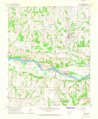 1965 Wanette1966 Print · USGSThe Canadian River valley south of Wanette was a hub of petroleum production and rural settlement in the mid-sixties. Researchers can trace the legacy of oil exploration through the South Wanette Oil Field and locate family roots at New Johnsonville Cem.2 unique versions available
 - 1965 Map of Macomb, 1966 Print
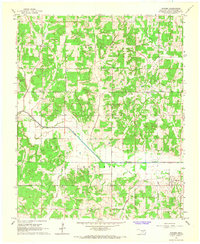 1965 Macomb1966 Print · USGSCentral Oklahoma's rural landscape is captured here in the mid-1960s, showing a mix of established oil fields and small farming communities. Genealogists and historians can trace the foundations of Macomb and Burnett alongside local markers like Highland Cemetery and the Old Railroad Grade.3 unique versions available
Showing maps 1-25 of 151
Top cities of Pottawatomie County
- Shawnee historical maps
- Tecumseh historical maps
- McLoud historical maps
- Bethel Acres historical maps
- Pink historical maps
- Earlsboro historical maps
See more
Frequently asked questions
- What are the different types of historical maps available for Pottawatomie County?
- What is the oldest map of Pottawatomie County?
- Where can I purchase historical maps of Pottawatomie County for my home or office?
- Where can I download high-res historical maps of Pottawatomie County?
- Are there historical topographic maps available for Pottawatomie County?
- Is there historical aerial imagery available for Pottawatomie County?
- Where are historical maps of Pottawatomie County sourced from?