2000s (21st Century) Maps of Pottawatomie County, Oklahoma
Explore 110 historic maps of Pottawatomie County from the 2000s (21st Century). These maps offer a rare glimpse into what life looked like during the 2000s — showing old roads, neighborhoods, homes, and landmarks that have changed or disappeared over time.
Whether you're researching your family's past, planning a metal detecting trip, or studying how Pottawatomie County's landscape evolved across the 2000s, these high-resolution maps are a powerful tool for exploring the history of this region.
- Focus on a specific era: All maps on this page are from the 2000s, giving you a focused view of this time period.
- See what’s changed: Compare century-old streets, trails, and buildings to today's modern landscape using overlays and satellite layers.
- Research with precision: Use these maps for genealogy, historical research, land use analysis, or educational projects.
- View, download, or print: Maps are fully viewable online in high resolution, and can be downloaded or printed for your own records.
Start exploring Pottawatomie County's history through authentic maps from the 2000s. This is your window into the past.
Pottawatomie County, OK maps
(110)- 2009 Map of Little Axe, 2009 Print
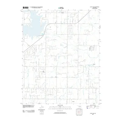 2009 Little Axe2009 Print · USGSOklahoma's prairie landscape meets the jagged shores of a major reservoir in the late 2000s. Genealogists and local historians can trace family locations near the Bethel Cemetery, the small community of Etowah, and the Hickory Hills Airport.
 - 2009 Map of Stella, 2009 Print
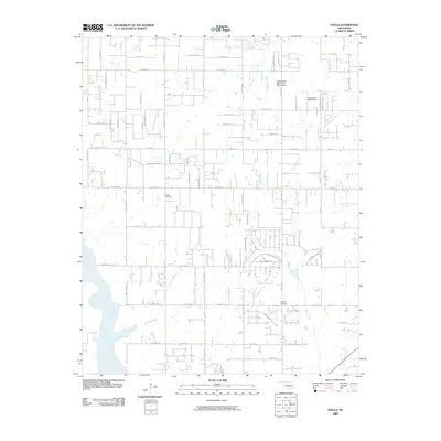 2009 Stella2009 Print · USGSOklahoma City’s rural eastern fringes appear in this survey as a landscape of grid-line roads and creek valleys. Genealogists can locate family sites near Stella Cemetery or Knoles Cemetery, while tracing the waters of Hog Creek and Pecan Creek.
 - 2009 Map of Macomb, 2009 Print
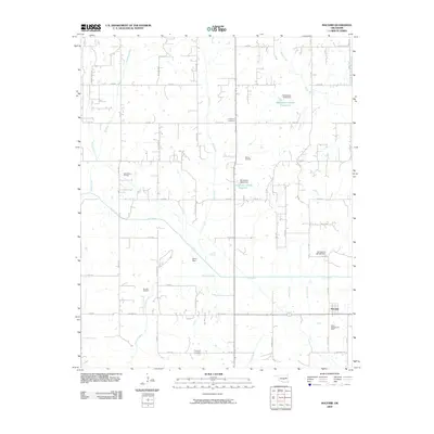 2009 Macomb2009 Print · USGSOklahoma's petroleum and agricultural history meet in this early 21st-century record of Pottawatomie County. Genealogists and local historians can trace family ties at Highland Cemetery or locate established energy sites like the West Morvin Oil Field and Burnett Oil Field.
 - 2009 Map of Saint Louis, 2009 Print
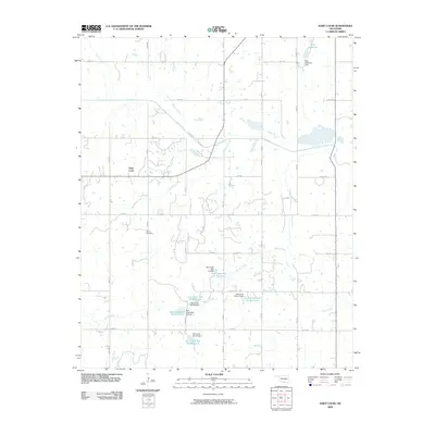 2009 Saint Louis2009 Print · USGSThe community of Saint Louis and its surrounding countryside are documented here during the first decade of the 2000s. Researchers can trace local lineage at Collins Cemetery and map the extensive water management system including Katy Reservoir and numerous Salt Creek impoundments.
 - 2009 Map of Shawnee Reservoir, 2009 Print
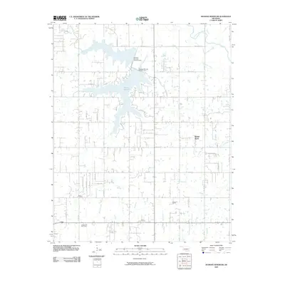 2009 Shawnee Reservoir2009 Print · USGSThis part of Oklahoma south of the North Canadian River shows a landscape of growing rural communities and essential water management in the early twenty-first century. Researchers can trace local heritage at Black Cemetery, explore the Centerpoint Oil Field, or follow the banks of the Shawnee Reservoir.
 - 2009 Map of Tribbey, 2009 Print
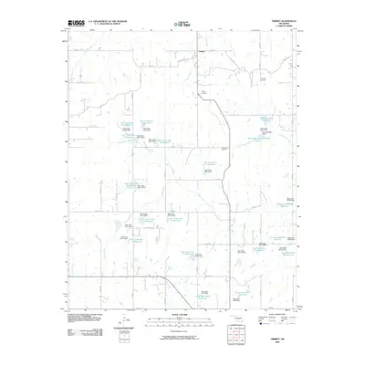 2009 Tribbey2009 Print · USGSTribbey and the rural reaches of Pottawatomie County are shown here in the late 2000s, revealing a landscape of managed water and ancestral grounds. Researchers can trace the drainage of Salt Creek and find historical burial sites like Old Moral Cemetery and Friendship Cemetery.
 - 2009 Map of McLoud, 2009 Print
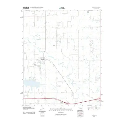 2009 McLoud2009 Print · USGSIn the early twenty-first century, this Pottawatomie County corridor shows the persistent agricultural and industrial character of the North Canadian River valley. Researchers can trace local lineage through Saint Johns Lutheran Cemetery, McLoud Cemetery, and the McLoud Gas Field.
 - 2009 Map of Eason, 2009 Print
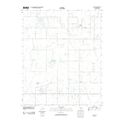 2009 Eason2009 Print · USGSCleveland County's rural outskirts come into focus in the early 2000s, showcasing a landscape of small lakes and winding creek beds. Researchers can find old burial sites at Red Oak Cemetery and locate the Department of Corrections Airport.
 - 2009 Map of Konawa, 2009 Print
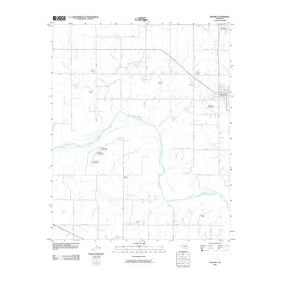 2009 Konawa2009 Print · USGSKonawa and the surrounding rural landscape are captured in the late 2000s, showing a region defined by its energy industry and river topography. Researchers can locate active energy sites like Grayson Oil Field and Sledge Oil Field or trace family history at Vista Cemetery and Maxwell Cemetery.
 - 2009 Map of Rosedale, 2009 Print
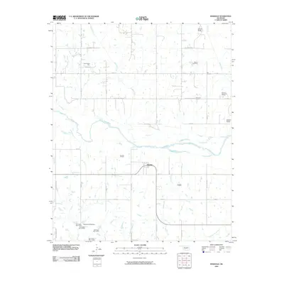 2009 Rosedale2009 Print · USGSRosedale and the surrounding McClain County countryside are captured here in the early twenty-first century, showing a landscape shaped by petroleum and river geography. Researchers can locate family landmarks like Box Cemetery and trace the extensive energy operations at the Rosedale Oil Field.
 - 2009 Map of Asher, 2009 Print
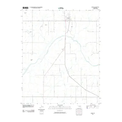 2009 Asher2009 Print · USGSIn the early twenty-first century, this Pottawatomie County landscape centers on the town of Asher and its surrounding energy resources. Researchers can trace local genealogy at Cook Cemetery and explore the geography of the Asher Oil Field and the Canadian River.
 - 2010 Map of Maud, 2010 Print
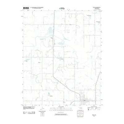 2010 Maud2010 Print · USGSModern Oklahoma rural life meets established heritage in this survey of the area around Maud. Researchers can map out local burial sites at Fairview Cemetery and Little Cemetery or trace water management at Salt Creek Site 27 Dam and J E McSpadden Reservoir.
 - 2010 Map of Aydelotte, 2010 Print
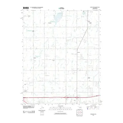 2010 Aydelotte2010 Print · USGSNorth of Shawnee in the early 2000s, this area of Oklahoma shows a landscape shaped by petroleum and water management. Researchers can trace family history at New Salem Cemetery or Centerville Cemetery and locate energy sites like the West Red Hill Oil and Gas Field.
 - 2010 Map of Brooksville, 2010 Print
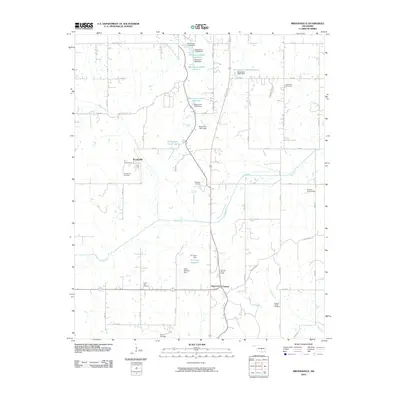 2010 Brooksville2010 Print · USGSPottawatomie County at the start of the 2010s reveals a landscape of small reservoirs and historic rural communities. Researchers can locate numerous local landmarks like Forest Hill Cemetery, the Holiness Church Camp, and the settlement of Brooksville.
 - 2010 Map of Earlsboro, 2010 Print
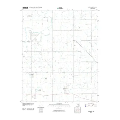 2010 Earlsboro2010 Print · USGSOklahoma's petroleum country is documented here during the early twenty-first century, showing the area's transition between agricultural land and industrial oil production. Researchers can trace family history through sites like Neal Cemetery or locate old lease sites in the King Oil Field and Victory Hill Oil Field.
 - 2010 Map of Harrah, 2010 Print
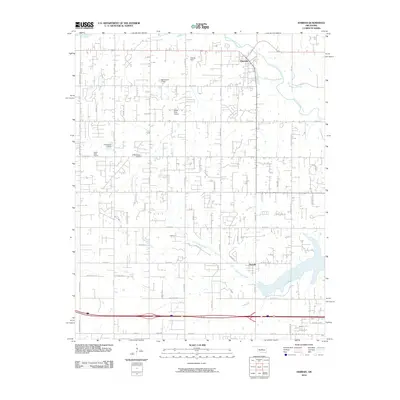 2010 Harrah2010 Print · USGSThe Oklahoma City outskirts near Harrah and Newalla are shown here as they appeared in 2010. Genealogists and local historians can trace family-named roads like DAVIS RD and FERGUSON DR or locate local landmarks like the World Bible Church and Steciak Strip.
 - 2010 Map of Pearson, 2010 Print
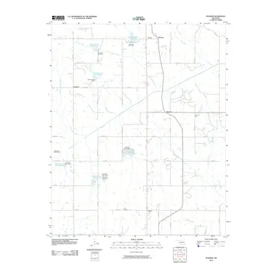 2010 Pearson2010 Print · USGSPottawatomie County's rural crossroads and flood-control landscape are captured here in the early twenty-first century. Genealogists and local historians can trace family roots through Romulus Cemetery and Avoca Cemetery or locate the old sites of Pearson and Anderson.
 - 2010 Map of Prague, 2010 Print
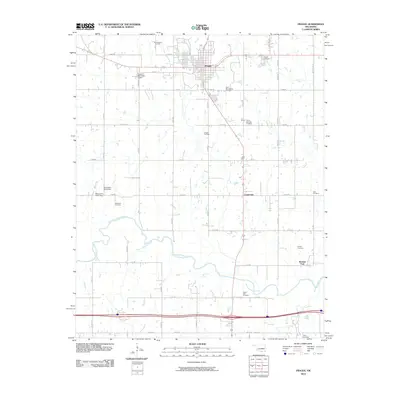 2010 Prague2010 Print · USGSLincoln County at the turn of the decade shows a landscape shaped by petroleum and deep-rooted heritage. Researchers can trace family sites at the Barton Czech National Cemetery or locate old industrial markers like the Prague Oil Field and Keokuk Falls.
 - 2010 Map of Shawnee, 2010 Print
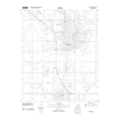 2010 Shawnee2010 Print · USGSThe growing corridor between Shawnee and Tecumseh is captured here during a period of modern expansion. Researchers can trace local heritage through landmarks like Oklahoma Baptist University and Saint Benedict Cemetery, or locate industrial sites such as the Tecumseh Lake Oil Field.
 - 2010 Map of Shawnee NE, 2010 Print
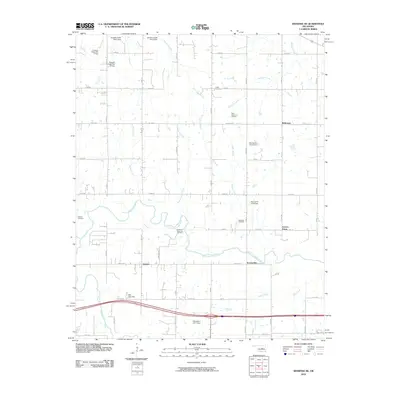 2010 Shawnee NE2010 Print · USGSOklahoma's river valley and oil country are captured here at the start of the decade. Researchers can trace rural cemeteries like Wakole and McKosta or follow the development of the West Bellemont Oil Field.
 - 2010 Map of Prague NE, 2010 Print
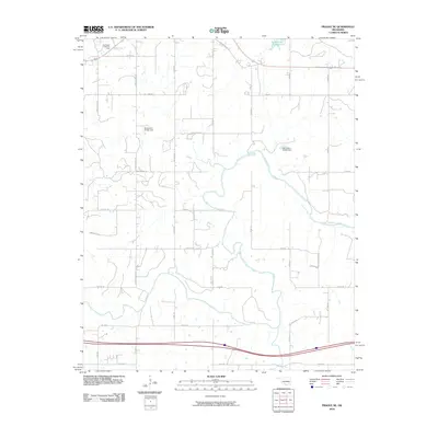 2010 Prague NE2010 Print · USGSOkfuskee County's rural landscape is captured here in the early twenty-first century, showing the intersection of energy production and water management. You can trace the boundaries of the Southwest Paden Oil Field or locate rural landmarks like Paden Lake Number 1 and Carver Arena Rd.
 - 2010 Map of Wanette, 2010 Print
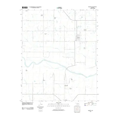 2010 Wanette2010 Print · USGSOklahoma oil country and the banks of the Canadian River are detailed here in the early twenty-first century. Genealogists and local historians can locate several burial grounds, including Wanette Cemetery and New Johnsonville Cemetery, while tracing the footprints of the Wanette Oil Field.
 - 2012 Map of Brooksville, 2012 Print
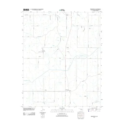 2012 Brooksville2012 Print · USGSPottawatomie County remains a landscape of quiet rural settlements and family burial grounds in the early twenty-first century. Genealogists and local historians can trace the locations of Brooksville Cem and Prairie View Cem or locate old community hubs like Chisney.
 - 2012 Map of Saint Louis, 2012 Print
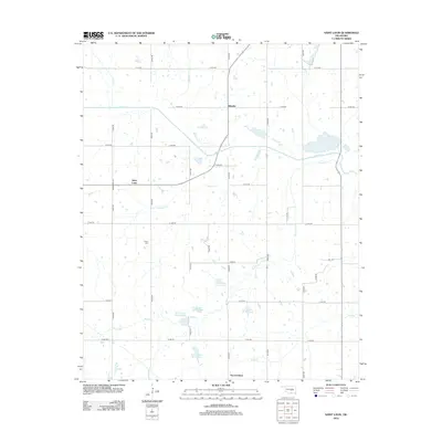 2012 Saint Louis2012 Print · USGSSaint Louis and Sacred Heart are documented here in the early twenty-first century as the landscape transitioned toward modern water management. Researchers can locate the Collins Cem, trace the drainage of Salt Cr, and explore the rural road network near Ellaville.
 - 2012 Map of Tribbey, 2012 Print
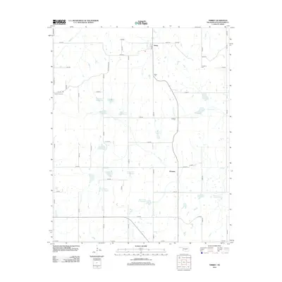 2012 Tribbey2012 Print · USGSTribbey and Trousdale appear here in a landscape heavily shaped by mid-century water management and deep family ties. Genealogists can trace local history through Council Creek Cem, Old Moral Cem, and the many reservoirs along Salt Cr.
Showing maps 1-25 of 110
Top cities of Pottawatomie County
- Shawnee historical maps
- Tecumseh historical maps
- McLoud historical maps
- Bethel Acres historical maps
- Pink historical maps
- Earlsboro historical maps
See more
Frequently asked questions
- What are the different types of historical maps available for Pottawatomie County?
- What is the oldest map of Pottawatomie County?
- Where can I purchase historical maps of Pottawatomie County for my home or office?
- Where can I download high-res historical maps of Pottawatomie County?
- Are there historical topographic maps available for Pottawatomie County?
- Is there historical aerial imagery available for Pottawatomie County?
- Where are historical maps of Pottawatomie County sourced from?