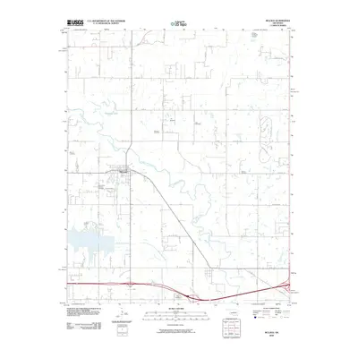
2009 Map of McLoud
USGS Topo · Published 2009About this map
The North Canadian River meanders across this Pottawatomie County landscape, shaping the development of McLoud and the surrounding rural townships. The settlement patterns are defined by a dense grid of section-line roads, including Hazel Dell Rd and Captain Creek Rd, which connect family farms and local industry. To the north, Kishketon Lake and several smaller water bodies indicate the importance of local water management in this prairie-river corridor.
Find a feature on this map
49 named features on this map. Tap any name to fly to it.
Don’t see what you’re looking for? This feature index may not catch every label — zoom into the map to look around manually.
Map Details
Editions of this 2009 McLoud Map
This is the sole edition of this map. No revisions or reprints were ever made.
Other maps of this area

1896 · Seminole and Prague
USGS Topo · 1:125,000

1898 · Purcell
USGS Topo · 1:125,000

1905 · Chandler
USGS Topo · 1:62,500

1907 · Chandler
USGS Topo · 1:62,500

1909 · Shawnee
USGS Topo · 1:62,500

1909 · Luther
USGS Topo · 1:62,500

1930 · McLoud
USGS Topo · 1:62,500

1954 · Oklahoma City
USGS Topo · 1:250,000

1956 · Harrah
USGS Topo · 1:24,000

1956 · Horseshoe Lake
USGS Topo · 1:24,000