
1956 Map of Horseshoe Lake
USGS Topo · Published 1957About this map
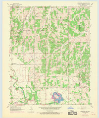
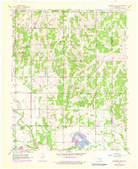
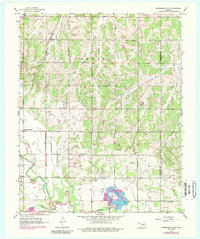
Horseshoe Lake dominates the southern landscape of this mid-century survey, its distinctive shape and accompanying Powerplant and Substation marking a point of industrial significance along the North Canadian River. The map captures the agricultural and community foundations of the area near the border of Oklahoma and Lincoln Counties, where the St Louis - San Francisco railroad cuts through the northern sections near the small settlement of Poole. Local genealogy is well-supported by numerous landmarks, including Mt Carmel Cem, St Marys Cem, and Mills Cem. The educational and spiritual life of the rural community is preserved through labels for the State Center Sch, Douglas Ch, and St Paul Ch. The terrain is defined by a dense network of drainage, where Wildhorse Creek, Captain Creek, and Choctaw Creek feed into the river system, shaping the township lines of Dewey and Elk.
Find a feature on this map
28 named features on this map. Tap any name to fly to it.
Don’t see what you’re looking for? This feature index may not catch every label — zoom into the map to look around manually.
Map Details
Editions of this 1956 Horseshoe Lake Map
4 editions found
Other maps of this area

1892 · Moore
USGS Topo · 1:62,500

1892 · Edmond
USGS Topo · 1:62,500

1898 · Purcell
USGS Topo · 1:125,000

1909 · Luther
USGS Topo · 1:62,500

1930 · McLoud
USGS Topo · 1:62,500

1934 · Moore
USGS Topo · 1:62,500

1935 · Edmond
USGS Topo · 1:48,000

1938 · Moore
USGS Topo · 1:62,500

1940 · Edmond
USGS Topo · 1:62,500

1954 · Oklahoma City
USGS Topo · 1:250,000