
1956 Map of Harrah
USGS Topo · Published 1957About this map
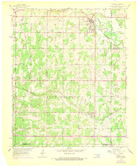
The North Canadian River flows across this mid-century landscape where Oklahoma, Lincoln, and Pottawatomie counties meet. Near the northeastern corner, the town of Harrah serves as a local hub along the Chicago Rock Island and Pacific railroad, which parallels the river. The map documents a rural environment in transition, noting both long-standing landmarks like the Indian Meridian road and signs of resource extraction shown by scattered oil wells.
Find a feature on this map
18 named features on this map. Tap any name to fly to it.
Don’t see what you’re looking for? This feature index may not catch every label — zoom into the map to look around manually.
Map Details
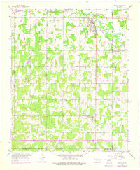
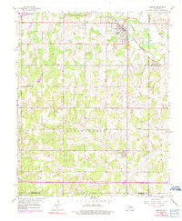
Editions of this 1956 Harrah Map
4 editions found
Other maps of this area

1892 · Moore
USGS Topo · 1:62,500

1892 · Edmond
USGS Topo · 1:62,500

1898 · Purcell
USGS Topo · 1:125,000

1909 · Luther
USGS Topo · 1:62,500

1930 · McLoud
USGS Topo · 1:62,500

1934 · Moore
USGS Topo · 1:62,500

1935 · Edmond
USGS Topo · 1:48,000

1938 · Moore
USGS Topo · 1:62,500

1940 · Edmond
USGS Topo · 1:62,500

1954 · Oklahoma City
USGS Topo · 1:250,000