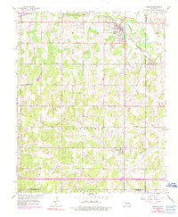
1956 Map of Harrah
USGS Topo · Published 1990About this map
The North Canadian River winds through the eastern portion of this quadrangle, defining the landscape between Harrah and the neighboring county lines. In the mid-1950s, the town of Harrah served as a central hub for the region's agricultural and transport activity, situated along the Chicago Rock Island and Pacific railroad. The map reflects a rural landscape transitioning through mid-century development, evidenced by the emerging network of roads like NE 10th Street and East Reno Ave.
Find a feature on this map
24 named features on this map. Tap any name to fly to it.
Don’t see what you’re looking for? This feature index may not catch every label — zoom into the map to look around manually.
Map Details
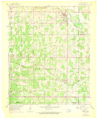
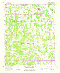
Editions of this 1956 Harrah Map
4 editions found

Other maps of this area

1892 · Moore
USGS Topo · 1:62,500

1892 · Edmond
USGS Topo · 1:62,500

1898 · Purcell
USGS Topo · 1:125,000

1909 · Luther
USGS Topo · 1:62,500

1930 · McLoud
USGS Topo · 1:62,500

1934 · Moore
USGS Topo · 1:62,500

1935 · Edmond
USGS Topo · 1:48,000

1938 · Moore
USGS Topo · 1:62,500

1940 · Edmond
USGS Topo · 1:62,500

1954 · Oklahoma City
USGS Topo · 1:250,000