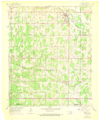
1956 Map of Harrah
USGS Topo · Published 1970About this map
Harrah serves as a focal point at the northern edge of this Oklahoma survey, situated where the Chicago Rock Island and Pacific railroad crosses the North Canadian River. The landscape is a transition of rural townships across Pottawatomie County, Cleveland, and Oklahoma counties, marked by the industrial presence of pipelines and scattered oil wells. Moving south, the Atchison Topeka and Santa Fe railroad cuts across the terrain near Newalla, following the path of Deer Creek. Community life in the mid-1950s is anchored by rural landmarks like World Bible Ch, Texas Ch, and the outlying Stella. This map captures the region's transport-driven layout before the expansion of modern Oklahoma City suburbanization, preserving the original section lines and thoroughfares such as NE 10th Street and Reno Ave.
Find a feature on this map
20 named features on this map. Tap any name to fly to it.
Don’t see what you’re looking for? This feature index may not catch every label — zoom into the map to look around manually.
Map Details
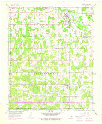
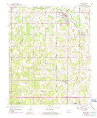
Editions of this 1956 Harrah Map
4 editions found

Other maps of this area

1892 · Moore
USGS Topo · 1:62,500

1892 · Edmond
USGS Topo · 1:62,500

1898 · Purcell
USGS Topo · 1:125,000

1909 · Luther
USGS Topo · 1:62,500

1930 · McLoud
USGS Topo · 1:62,500

1934 · Moore
USGS Topo · 1:62,500

1935 · Edmond
USGS Topo · 1:48,000

1938 · Moore
USGS Topo · 1:62,500

1940 · Edmond
USGS Topo · 1:62,500

1954 · Oklahoma City
USGS Topo · 1:250,000