2010s Maps of Shawnee, Oklahoma
Explore 18 historic maps of Shawnee from the 2010s. These maps offer a rare glimpse into what life looked like during the 2010s — showing old roads, neighborhoods, homes, and landmarks that have changed or disappeared over time.
Whether you're researching your family's past, planning a metal detecting trip, or studying how Shawnee's landscape evolved across the 2010s, these high-resolution maps are a powerful tool for exploring the history of this region.
- Focus on a specific era: All maps on this page are from the 2010s, giving you a focused view of this time period.
- See what’s changed: Compare century-old streets, trails, and buildings to today's modern landscape using overlays and satellite layers.
- Research with precision: Use these maps for genealogy, historical research, land use analysis, or educational projects.
- View, download, or print: Maps are fully viewable online in high resolution, and can be downloaded or printed for your own records.
Start exploring Shawnee's history through authentic maps from the 2010s. This is your window into the past.
Shawnee, OK maps
(18)- 2010 Map of Aydelotte, 2010 Print
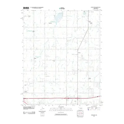 2010 Aydelotte2010 Print · USGSNorth of Shawnee in the early 2000s, this area of Oklahoma shows a landscape shaped by petroleum and water management. Researchers can trace family history at New Salem Cemetery or Centerville Cemetery and locate energy sites like the West Red Hill Oil and Gas Field.
 - 2010 Map of Earlsboro, 2010 Print
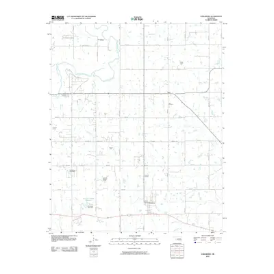 2010 Earlsboro2010 Print · USGSOklahoma's petroleum country is documented here during the early twenty-first century, showing the area's transition between agricultural land and industrial oil production. Researchers can trace family history through sites like Neal Cemetery or locate old lease sites in the King Oil Field and Victory Hill Oil Field.
 - 2010 Map of Shawnee, 2010 Print
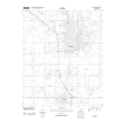 2010 Shawnee2010 Print · USGSThe growing corridor between Shawnee and Tecumseh is captured here during a period of modern expansion. Researchers can trace local heritage through landmarks like Oklahoma Baptist University and Saint Benedict Cemetery, or locate industrial sites such as the Tecumseh Lake Oil Field.
 - 2012 Map of Shawnee Reservoir, 2012 Print
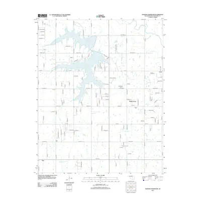 2012 Shawnee Reservoir2012 Print · USGSPottawatomie County's lakeside and rural communities are captured here in the early 2010s. Genealogists can trace family landmarks like Blackburn Chapel Cem and Ray Cem near Bethel Acres and Shawnee Reservoir.
 - 2012 Map of Earlsboro, 2012 Print
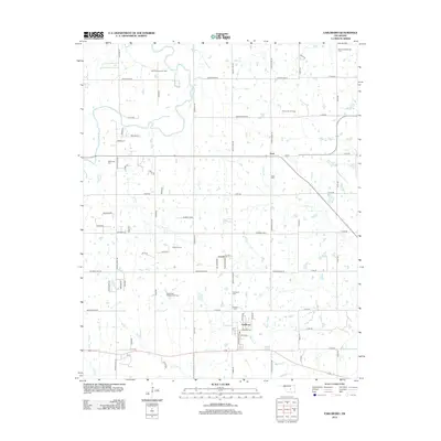 2012 Earlsboro2012 Print · USGSOklahoma's oil heritage is on full display in the countryside surrounding Earlsboro during the early 2010s. Genealogists and industrial historians can trace the intersection of petroleum production at Victory Hill Oil Field with local landmarks like Neal Cem and Rock Cr.
 - 2012 Map of Aydelotte, 2012 Print
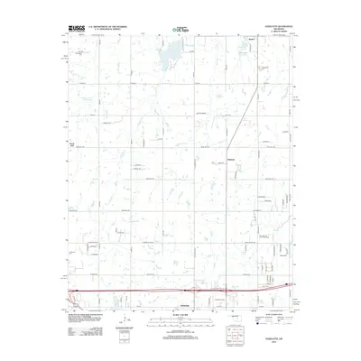 2012 Aydelotte2012 Print · USGSPottawatomie County's energy and agricultural history come into focus in the early twenty-first century as the city of Shawnee expands northward. Researchers can trace local heritage at Centerville Cem and the Shawnee Oil Field or explore the rural surroundings of Meeker Lake.
 - 2012 Map of McLoud, 2012 Print
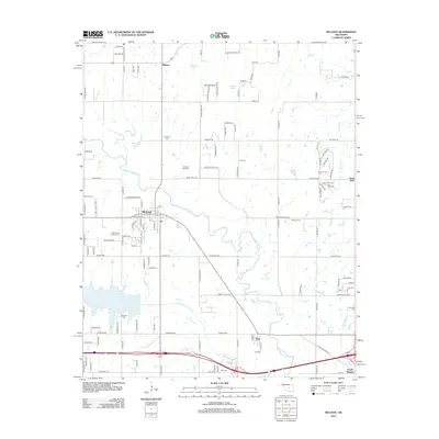 2012 McLoud2012 Print · USGSCentered on the North Canadian River valley in the early 2010s, this area shows the development of McLoud and Dale. Genealogists can trace local history through a high concentration of burial sites including Saint Johns Lutheran Cem, Kickapoo Cem, and Minneha Cem.
 - 2013 Map of Shawnee, 2013 Print
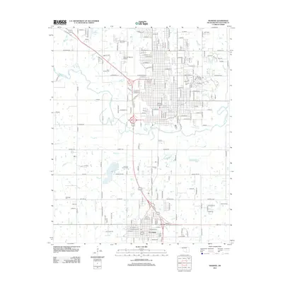 2013 Shawnee2013 Print · USGSCentral Oklahoma's corridor between Shawnee and Tecumseh is captured here a decade into the new millennium. Genealogists and historians can trace institutional landmarks like Oklahoma Baptist Univ or locate family plots in Tecumseh Cem and New Hope Cem.
 - 2016 Map of Earlsboro, 2016 Print
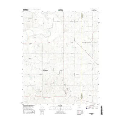 2016 Earlsboro2016 Print · USGSEarlsboro and the Shawnee outskirts are captured here during the mid-2010s at the Pottawatomie and Seminole County line. Local historians can trace family ties at Earlsboro Cemetery or Neal Cemetery and locate landmarks like Artist Point.
 - 2016 Map of Shawnee Reservoir, 2016 Print
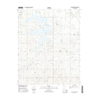 2016 Shawnee Reservoir2016 Print · USGSThe rural residential landscape north of Pink comes into focus in this recent survey. Local historians can trace the community footprints of Bethel Acres and Gaddy alongside several family burying grounds like Blackburn Chapel Cem and Brown Cem.
 - 2016 Map of Aydelotte, 2016 Print
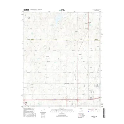 2016 Aydelotte2016 Print · USGSOklahoma's Lincoln and Pottawatomie county line comes alive in this 2010s survey of the rural landscape north of Shawnee. Genealogists and local historians can trace family plots at New Salem Cem or New Hope Cem and explore landmarks like Meeker Lake and Clarks Heights.
 - 2016 Map of Shawnee, 2016 Print
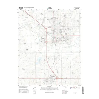 2016 Shawnee2016 Print · USGSThe growing communities of Shawnee and Tecumseh are captured here during a period of modern expansion. Genealogists and local researchers can locate several key sites including Saint Benedict Cemetery, Tecumseh Cemetery, and Saint Gregory's University.
 - 2016 Map of McLoud, 2016 Print
 2016 McLoud2016 Print · USGSMcLoud and the North Canadian River valley are documented here in the early twenty-first century as the area bridges the Lincoln and Pottawatomie county lines. Genealogists can trace numerous burial grounds across the landscape, including Kickapoo Cem, Abrams Cem, and Saint Johns Lutheran Cem.
 - 2018 Map of McLoud, 2018 Print
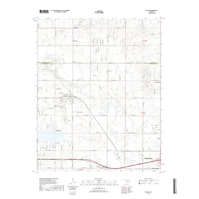 2018 McLoud2018 Print · USGSCentral Oklahoma at the border of Lincoln and Pottawatomie counties is shown here as the region continued to evolve around the North Canadian River. Researchers can trace local heritage through numerous burial sites like Minneha Cem, Jent Cem, and Dale Cem.
 - 2018 Map of Shawnee Reservoir, 2018 Print
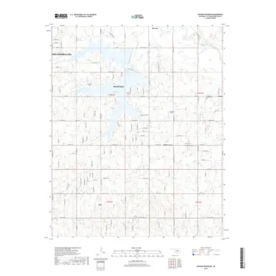 2018 Shawnee Reservoir2018 Print · USGSOklahoma's urban-rural boundary comes into focus in this late-decade survey of the Shawnee and Oklahoma City periphery. Researchers can locate numerous family-history sites including Blackburn Chapel Cem, Ray Cem, and the community of Pink.
 - 2018 Map of Earlsboro, 2018 Print
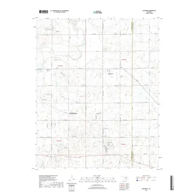 2018 Earlsboro2018 Print · USGSThe border of Pottawatomie and Seminole counties comes into focus in this recent survey of the Oklahoma plains. Local researchers can pinpoint family plots at Earlsboro Cem or trace the winding course of the North Canadian River near Neal.
 - 2018 Map of Aydelotte, 2018 Print
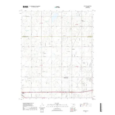 2018 Aydelotte2018 Print · USGSThe outskirts of Shawnee and the town of Meeker are shown here in the late twenty-teens as the landscape transitions across the Lincoln and Pottawatomie county line. Researchers can locate family burial sites at New Hope Cem and Centerville Cem or trace the drainage of Rock Cr.
 - 2018 Map of Shawnee, 2018 Print
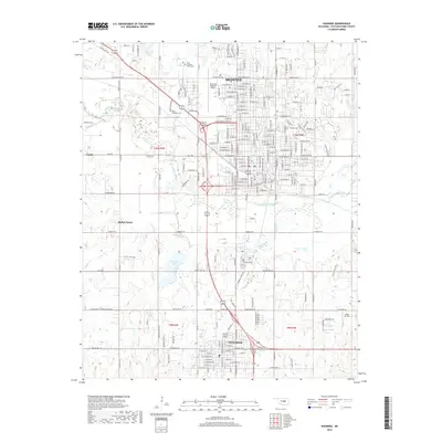 2018 Shawnee2018 Print · USGSShawnee and Tecumseh are shown here in the late 2010s as they anchor the North Canadian River valley. Genealogists and local researchers can trace numerous burial sites and landmarks including Saint Benedict Cem, Tecumseh Lake, and the Shawnee Regional Airport.
End of results
Showing maps 1-18 of 18
Top cities near Shawnee
- Oklahoma City historical maps
- Norman historical maps
- Newalla historical maps
- Tecumseh historical maps
- Harrah historical maps
- McLoud historical maps
See more
Top neighborhoods of Shawnee
Frequently asked questions
- What are the different types of historical maps available for Shawnee?
- What is the oldest map of Shawnee?
- Where can I purchase historical maps of Shawnee for my home or office?
- Where can I download high-res historical maps of Shawnee?
- Are there historical topographic maps available for Shawnee?
- Is there historical aerial imagery available for Shawnee?
- Where are historical maps of Shawnee sourced from?