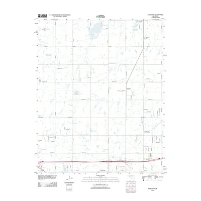
2012 Map of Aydelotte
USGS Topo · Published 2012About this map
The Shawnee Oil Field and West Red Hill Oil and Gas Field dominate the industrial profile of this central Oklahoma landscape. In the northern reaches, the community of Meeker sits near the shores of Meeker Lake and Poplin Lake, while the city of Shawnee occupies the southern edge along the North Canadian River. The area is characterized by a dense network of sectional roads and rural settlements like Aydelotte and Hazel Dell. Genealogists will find several notable burial sites including Centerville Cem, New Hope Cem, and New Salem Cem. Numerous water management features such as the Quapaw Cr Site 18 Reservoir and various creeks like S Quapaw Cr and Rock Creek define the drainage patterns of the region's agricultural and energy-producing lands.
Find a feature on this map
46 named features on this map. Tap any name to fly to it.
Don’t see what you’re looking for? This feature index may not catch every label — zoom into the map to look around manually.
Map Details
Editions of this 2012 Aydelotte Map
This is the sole edition of this map. No revisions or reprints were ever made.
Other maps of this area

1896 · Seminole and Prague
USGS Topo · 1:125,000

1898 · Purcell
USGS Topo · 1:125,000

1905 · Chandler
USGS Topo · 1:62,500

1907 · Chandler
USGS Topo · 1:62,500

1909 · Shawnee
USGS Topo · 1:62,500

1909 · Luther
USGS Topo · 1:62,500

1930 · McLoud
USGS Topo · 1:62,500

1954 · Oklahoma City
USGS Topo · 1:250,000

1957 · Oklahoma City
USGS Topo · 1:250,000

1963 · Oklahoma City
USGS Topo · 1:250,000