Old Maps of Nashoba, Oklahoma
Explore 11 old maps of Nashoba, spanning from 1901 to today. These high-resolution historic maps reveal how streets, neighborhoods, landmarks, and natural features evolved over time — perfect for genealogy, metal detecting, research, and local history exploration.
What you can do with these maps:
- See how Nashoba changed over time: Compare historical maps to modern-day views to trace roads, homesites, rail lines & more.
- View detailed metadata: Each map includes creators, publishers, year, scale, and archive source.
- Overlay maps with satellite & LiDAR: Visualize the past alongside modern tools to explore terrain & human change.
- Trusted historical sources: Maps sourced from the USGS, Library of Congress, and other archives.
- Access maps your way: View online, download high-res files, or order prints for personal or research use.
Start exploring old maps of Nashoba to uncover forgotten places, hidden landmarks, and the deep history beneath your feet.
Nashoba, OK maps
(11)- 1901 Map of Alikchi
 1901 Alikchi1901 Print · USGSChoctaw Nation territory is captured here just before the turn of the century, showing a landscape of river-fed valleys and early educational outposts. Researchers can trace the grounds of Old Spencer Academy, the site of Fort Towson, and the remote Alikchi settlement.5 unique versions available
 - 1950 Map of Mcalester
 1950 Mcalester1950 Print · USGSThe Ouachita Mountains and the coal country of Southeast Oklahoma are shown here in the late 1940s. Genealogists and historians can trace the rail-driven growth of McAlester, Wilburton, and Antlers alongside the rugged terrain of Kiamichi Mountain.2 unique versions available
 - 1962 Map of McAlester
 1962 McAlester1962 Print · USGSSoutheastern Oklahoma and western Arkansas are shown here during the early sixties, a time of transition for the region's mountain communities and timberlands. Researchers can trace the paths of the Kansas City Southern RR through Heavener or locate settlements like Talihina and Broken Bow near the Kiamichi Mountains.2 unique versions available
 - 1965 Map of McAlester
 1965 McAlester1965 Print · USGSSoutheastern Oklahoma and western Arkansas appear here in the mid-1960s, showing the intersection of the timber industry and the growing reservoir system. Genealogists can trace family roots through settlements like Antlers, Idabel, and Kiowa or follow the historic routes of the Kansas City Southern Ry.3 unique versions available
 - 1972 Map of Nashoba, 1973 Print
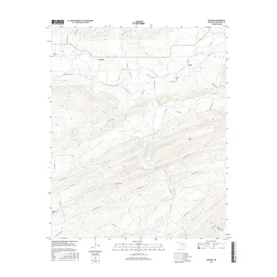
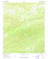 1972 Nashoba1973 Print · USGSThe rural Kiamichi Mountains are captured here in the early seventies, centered on the settlements of Nashoba and Nolia. Researchers can locate family sites at Black Fork Cem or trace the early industrial landscape through several Shale Pits and the local Fish Farm.2 unique versions available
 - 1985 Map of Antlers
 1985 Antlers1985 Print · USGSSoutheastern Oklahoma’s timber and river country is captured here during the mid-eighties, centered on the crossroads at Antlers. Researchers can trace the Burlington Northern rail line through rural communities like Moyers and Jumbo, or locate the historic grounds of Fort Towson.2 unique versions available
 - 2010 Map of Nashoba, 2010 Print
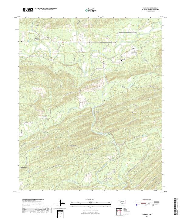
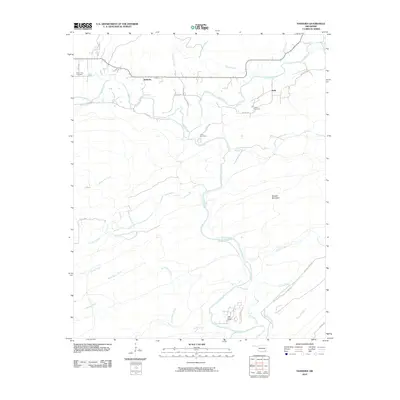 2010 Nashoba2010 Print · USGSCovers Nashoba, including Nolia, Pushmataha County, and other nearby areas
 - 2012 Map of Nashoba, 2012 Print
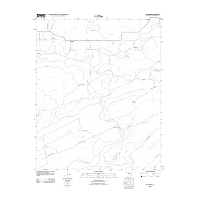 2012 Nashoba2012 Print · USGSCovers Nashoba, including Nolia, Pushmataha County, and other nearby areas
 - 2016 Map of Nashoba, 2016 Print
 2016 Nashoba2016 Print · USGSCovers Nashoba, including Nolia, Pushmataha County, and other nearby areas
 - 2019 Map of Nashoba, 2019 Print
 2019 Nashoba2019 Print · USGSCovers Nashoba, including Nolia, Pushmataha County, and other nearby areas
 - 2022 Map of Nashoba, 2022 Print
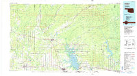
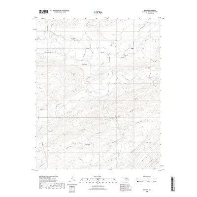
 2022 Nashoba2022 Print · USGSNashoba and Nolia are captured here in Pushmataha County during the early twenty-first century, a landscape defined by timber trails and winding river forks. Family historians can locate specific sites like the Nashoba Indian Cemetery, Nolia Cemetery, and the Little River Ranch along the banks of the Little River.
End of results
Showing maps 1-11 of 11
Top cities near Nashoba
Frequently asked questions
- What are the different types of historical maps available for Nashoba?
- What is the oldest map of Nashoba?
- Where can I purchase historical maps of Nashoba for my home or office?
- Where can I download high-res historical maps of Nashoba?
- Are there historical topographic maps available for Nashoba?
- Is there historical aerial imagery available for Nashoba?
- Where are historical maps of Nashoba sourced from?