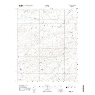
2019 Map of Nashoba
USGS Topo · Published 2019About this map
The Little River and its numerous tributaries, such as Black Fork and Jack Creek, define the drainage patterns of this Pushmataha County landscape. Settled pockets at Nashoba and Nolia anchor the northern portion of the region, where local history is preserved at the Black Fork Cem and Nolia Cem. The terrain is characterized by significant elevations including Blackjack Mtn and Musket Mtn, with the deep incision of Bear Canyon in the southeast.
Find a feature on this map
58 named features on this map. Tap any name to fly to it.
Don’t see what you’re looking for? This feature index may not catch every label — zoom into the map to look around manually.
Map Details
Editions of this 2019 Nashoba Map
This is the sole edition of this map. No revisions or reprints were ever made.
Other maps of this area

1901 · Tuskahoma
USGS Topo · 1:125,000

1901 · Alikchi
USGS Topo · 1:125,000

1908 · Tuskahoma
USGS Topo · 1:125,000

1909 · Tuskahoma
USGS Topo · 1:125,000

1950 · Mcalester
USGS Topo · 1:250,000

1962 · McAlester
USGS Topo · 1:250,000

1962 · Caney Mountain
USGS Topo · 1:24,000

1962 · Signal Mountain
USGS Topo · 1:24,000

1965 · McAlester
USGS Topo · 1:250,000
1971 · Albion SE
USGS Topo · 1:24,000