Old Maps of Gregory, Oklahoma for Metal Detecting
Plan your next treasure hunt with 13 historic maps of Gregory. Find old homesites, ghost towns, trails, and gathering spots that may be lost to time — perfect for identifying promising metal detecting locations.
- Locate forgotten sites: Uncover places like long-lost settlements, abandoned rail lines, or gathering spots.
- Plan better hunts: Use map overlays combined with LiDAR or satellite views to narrow in on historically rich areas.
- Made for detectorists: Thousands of hobbyists use these maps to discover relics, coins, and hidden history.
Use these historic maps to boost your research and find new opportunities beneath the surface of Gregory.
Gregory, OK maps
(13)- 1901 Map of Claremore
 1901 Claremore1901 Print · USGSThe Cherokee, Osage, and Creek Nations converge in the Indian Territory during this era of rapid railroad expansion. Researchers can trace early settlements and tribal boundaries, locating the Island Ferry, the junction at Claremore, and early Tulsa.4 unique versions available
 - 1914 Map of Claremore, 1959 Print
 1914 Claremore1959 Print · USGSNortheastern Oklahoma was a landscape of river crossings and rail towns in the years just before the Great War. Genealogists and researchers can trace the locations of dozens of vanished rural schools like Elm Ridge School, river landmarks such as Thomas Ferry, and the early footprints of Broken Arrow and Tulsa.
 - 1916 Map of Claremore
 1916 Claremore1916 Print · USGSThe Verdigris River valley and the burgeoning rail hubs of Rogers and Tulsa counties are captured here just after Oklahoma statehood. Genealogists can locate family homesteads near dozens of early schools like Fair Valley School or early churches such as Greenwood Chapel.4 unique versions available
 - 1954 Map of Tulsa
 1954 Tulsa1954 Print · USGSNortheast Oklahoma and the Ozark border are shown here during a period of massive industrial and infrastructure growth. Researchers can trace the legacy of the Tri-State Mining District and the development of major reservoirs like Grand Lake O' The Cherokees.2 unique versions available
 - 1958 Map of Tulsa, 1968 Print
 1958 Tulsa1968 Print · USGSNortheast Oklahoma and the Ozark borderlands are captured here during a massive era of reservoir construction and highway expansion. Researchers can trace the mid-century footprints of Tulsa, the sprawling Lake O' the Cherokees, and historical sites like Pea Ridge National Military Park.3 unique versions available
 - 1963 Map of Tulsa
 1963 Tulsa1963 Print · USGSThe Oklahoma and Arkansas borderlands are shown here in the early sixties, a time of massive reservoir construction and heavy mining. Genealogists can trace family roots through settlements like Nowata, Pryor, and Jay, or locate historical zinc and lead mines and coal mines.
 - 1963 Map of Inola, 1964 Print
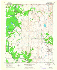 1963 Inola1964 Print · USGSNortheastern Oklahoma’s agricultural and industrial landscape is captured here in the early sixties, as the Verdigris River valley transitions toward Rogers and Wagoner counties. Genealogists and historians can locate rural landmarks like Sweeten Cemetery, Gregory School, and the Missouri Pacific rail corridor.3 unique versions available
 - 1985 Map of Tulsa
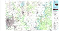 1985 Tulsa1985 Print · USGSNortheastern Oklahoma in the mid-eighties shows a landscape shaped by massive reservoirs and a bustling transportation network. Researchers can trace the path of the Will Rogers Turnpike or locate local landmarks like Mohawk Park and Oologah Lake.2 unique versions available
 - 2010 Map of Inola, 2010 Print
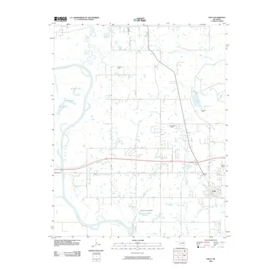 2010 Inola2010 Print · USGSInola and its surrounding Rogers County ranchlands are captured here at the start of the 2010s. Researchers can trace family ties at Sweeten Cemetery or explore the river-driven landscape around Horseshoe Lake and the Verdigris River.
 - 2013 Map of Inola, 2013 Print
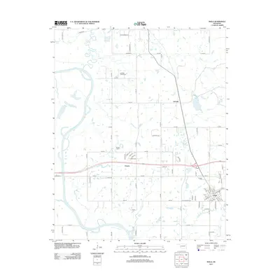 2013 Inola2013 Print · USGSEastern Rogers County in the early twenty-first century is a landscape of river bends and growing prairie towns. Researchers can trace local lineage at Sweeten Cem or explore the aviation footprints of Gilstrap Field Airport and Dobie's Airport.
 - 2016 Map of Inola, 2016 Print
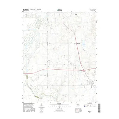 2016 Inola2016 Print · USGSThe Verdigris River valley and the growing town of Inola are captured here in the mid-2010s. Local researchers can trace family sites at Sweeten Cem or explore the rural landscapes around Gregory, Tiawah, and Gilstrap Field.
 - 2019 Map of Inola, 2019 Print
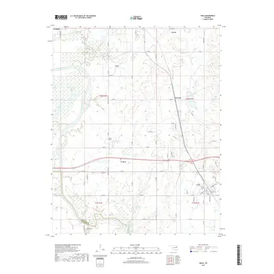 2019 Inola2019 Print · USGSInola and the Verdigris River valley are shown here in the late 2010s, capturing a landscape defined by oxbow lakes and rural aviation. Researchers can locate the Sweeten Cem, trace the oxbows of Horseshoe Lake, or explore the small communities of Gregory and McFarlin.
 - 2022 Map of Inola, 2022 Print
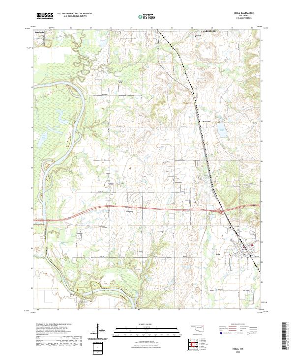 2022 Inola2022 Print · USGSEastern Oklahoma's river lowlands and regional hubs are captured here as they appeared in 2022. Researchers can trace the oxbows of the Verdigris River, locate the family history at Sweeten Cem, and survey the airfield at Gilstrap Field.
End of results
Showing maps 1-13 of 13
Top cities near Gregory
- Tulsa historical maps
- Broken Arrow historical maps
- Owasso historical maps
- Bixby historical maps
- Claremore historical maps
- Coweta historical maps
See more
Frequently asked questions
- What are the different types of historical maps available for Gregory?
- What is the oldest map of Gregory?
- Where can I purchase historical maps of Gregory for my home or office?
- Where can I download high-res historical maps of Gregory?
- Are there historical topographic maps available for Gregory?
- Is there historical aerial imagery available for Gregory?
- Where are historical maps of Gregory sourced from?