Old Maps of Texhoma, OK, Oklahoma for Hiking & Exploration
Hike through history with 16 historic maps of Texhoma, OK. Explore old trails, ghost towns, and forgotten backroads — perfect for outdoor adventurers and local explorers.
- Rediscover forgotten places: Map out old mining camps, roads, and footpaths that no longer exist on modern maps.
- Layer with modern tools: Combine with LiDAR or satellite views to plan hikes through historical terrain.
- Made for exploration: Popular among hikers, overlanders, and local history lovers.
Use these maps to find adventure and explore the hidden past of Texhoma, OK.
Texhoma, OK, OK maps
(16)- 1954 Map of Perryton, 1966 Print
 1954 Perryton1966 Print · USGSThe High Plains of the Texas and Oklahoma panhandles are shown during a period of steady growth in the mid-1950s. Genealogists and researchers can trace rail history and local landmarks like Panhandle A & M College, Spurlock Chapel, and the isolated Lord Station.3 unique versions available
 - 1958 Map of Perryton
 1958 Perryton1958 Print · USGSThe Oklahoma Panhandle and Texas borderlands come alive in this mid-century survey, showing the vital rail-and-ranch economy of the High Plains. Researchers can trace historic stops along the Chicago Rock Island and Pacific and locate rural landmarks like Bethel Church and Spurlock Chapel.
 - 1973 Map of Texhoma North, 1975 Print
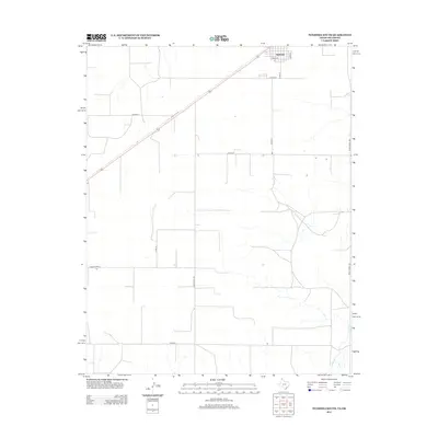
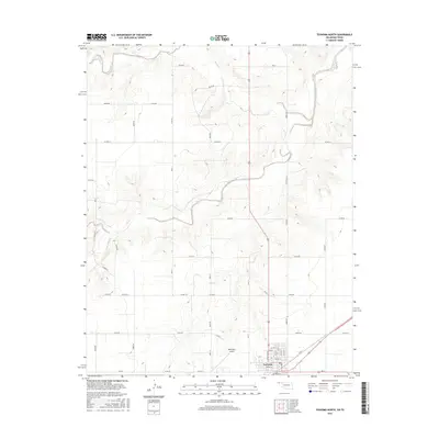
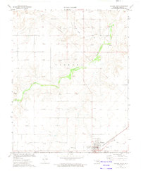 1973 Texhoma North1975 Print · USGSTexhoma straddles the state line in the early 1970s, serving as a vital rail and energy hub on the High Plains. Researchers can trace the Chicago Rock Island and Pacific railroad, local Gas Wells, and the Beaver River valley.
 - 1974 Map of Texhoma South, 1977 Print
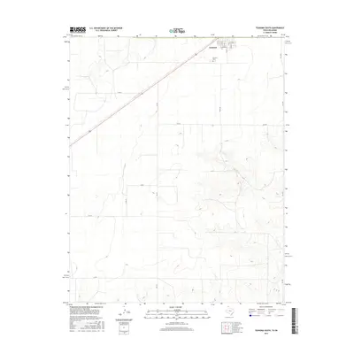
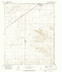 1974 Texhoma South1977 Print · USGSThe Texas-Oklahoma borderlands in the mid-1970s are defined here by industrial energy and the rail corridor. Genealogists and local historians can trace the townsite of Texhoma, the path of the CHICAGO ROCK ISLAND AND PACIFIC railroad, and the cemetery near Frisco Creek.
 - 1982 Map of Guymon
 1982 Guymon1982 Print · USGSThe Oklahoma Panhandle and neighboring borders come into focus in the early eighties, showing a landscape of energy production and isolated prairie towns. Genealogists and historians can trace the rail-side growth of Guymon, the campus at Oklahoma Panhandle State University, and the extensive Oil and Gas Field developments.
 - 1986 Map of Spearman, 1988 Print
 1986 Spearman1988 Print · USGSThe northern Texas Panhandle and Oklahoma border are seen here in the mid-1980s as a landscape of energy production and ranching. Trace local genealogy and land use across the oil and gas field or through settlements like Spearman, Texhoma, and Gruver.
 - 2010 Map of Texhoma South, 2010 Print
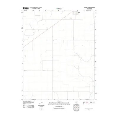 2010 Texhoma South2010 Print · USGSCovers Texhoma, OK, including Texhoma, Texas County, and other nearby areas
 - 2011 Map of Texhoma North, 2011 Print
 2011 Texhoma North2011 Print · USGSCovers Texhoma, OK, including Texhoma, Texas County, and other nearby areas
 - 2012 Map of Texhoma North, 2012 Print
 2012 Texhoma North2012 Print · USGSCovers Texhoma, OK, including Texhoma, Texas County, and other nearby areas
 - 2012 Map of Texhoma South, 2012 Print
 2012 Texhoma South2012 Print · USGSCovers Texhoma, OK, including Texhoma, Texas County, and other nearby areas
 - 2016 Map of Texhoma North, 2016 Print
 2016 Texhoma North2016 Print · USGSCovers Texhoma, OK, including Texhoma, Texas County, and other nearby areas
 - 2016 Map of Texhoma South, 2016 Print
 2016 Texhoma South2016 Print · USGSCovers Texhoma, OK, including Texhoma, Texas County, and other nearby areas
 - 2018 Map of Texhoma North, 2018 Print
 2018 Texhoma North2018 Print · USGSCovers Texhoma, OK, including Texhoma, Texas County, and other nearby areas
 - 2019 Map of Texhoma South, 2019 Print
 2019 Texhoma South2019 Print · USGSCovers Texhoma, OK, including Texhoma, Texas County, and other nearby areas
 - 2022 Map of Texhoma North, 2022 Print
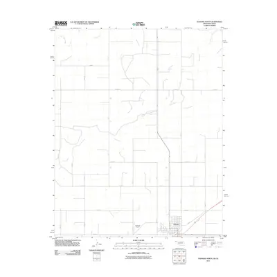
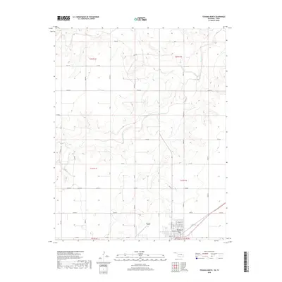
 2022 Texhoma North2022 Print · USGSThe Oklahoma-Texas borderlands are captured here in the twenty-first century as the town of Texhoma anchors the southern plains. Researchers can trace the street-level development near Main St or follow the riparian corridor of the Beaver River.
 - 2022 Map of Texhoma South, 2022 Print
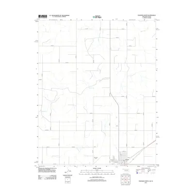
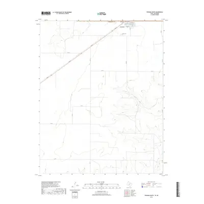
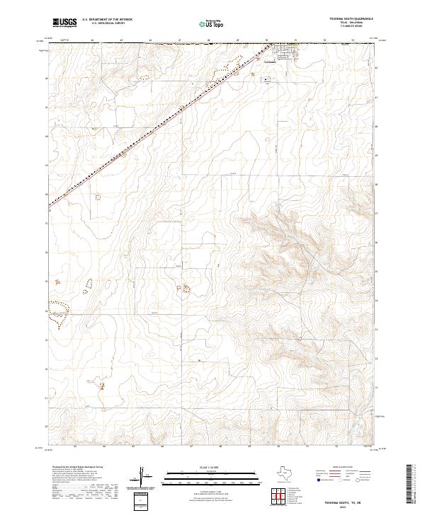 2022 Texhoma South2022 Print · USGSThe Texas-Oklahoma border comes alive in the northern Panhandle during the early 2020s, centered on the community of Texhoma. Genealogists and local historians can trace the town’s grid near Texhoma Cem and follow the path of Frisco Creek through the plains.
End of results
Showing maps 1-16 of 16
Top cities near Texhoma, OK
Top neighborhoods of Texhoma, OK
Frequently asked questions
- What are the different types of historical maps available for Texhoma, OK?
- What is the oldest map of Texhoma, OK?
- Where can I purchase historical maps of Texhoma, OK for my home or office?
- Where can I download high-res historical maps of Texhoma, OK?
- Are there historical topographic maps available for Texhoma, OK?
- Is there historical aerial imagery available for Texhoma, OK?
- Where are historical maps of Texhoma, OK sourced from?