Old Maps of Frederick, Oklahoma for Hiking & Exploration
Hike through history with 30 historic maps of Frederick. Explore old trails, ghost towns, and forgotten backroads — perfect for outdoor adventurers and local explorers.
- Rediscover forgotten places: Map out old mining camps, roads, and footpaths that no longer exist on modern maps.
- Layer with modern tools: Combine with LiDAR or satellite views to plan hikes through historical terrain.
- Made for exploration: Popular among hikers, overlanders, and local history lovers.
Use these maps to find adventure and explore the hidden past of Frederick.
Frederick, OK maps
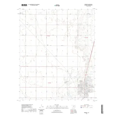
(30)- 1955 Map of Lawton, 1958 Print
 1955 Lawton1958 Print · USGSSouthwestern Oklahoma and North Texas are shown here in the mid-fifties, dominated by the Wichita Mountains and the vital Red River watershed. Genealogists and historians can trace the foundations of Lawton alongside rural landmarks like Rainy Mountain Church and Pleasant Hill School.5 unique versions available
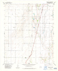
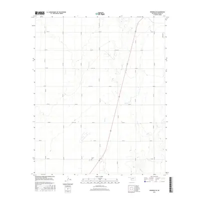
 - 1958 Map of Frederick, 1959 Print
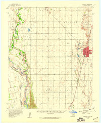 1958 Frederick1959 Print · USGSAcross the Tillman County plains in the late fifties, the landscape was defined by the transition from agriculture to oil. Researchers can trace the rail corridors of the Missouri Kansas Texas or locate local centers like Middick Store and Tesca Ch.
 - 1974 Map of Hollister NW, 1977 Print
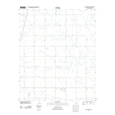
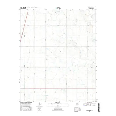
 1974 Hollister NW1977 Print · USGSTillman County was defined by its creeks and rail lines in the mid-1970s before modern expansion changed the rural landscape. Trace the St Louis-San Francisco railroad and find family history at Bethel Cem or the local Gravel Pit.
 - 1974 Map of Hackberry Flat, 1977 Print
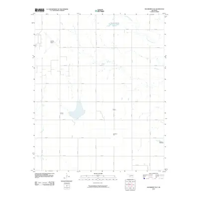
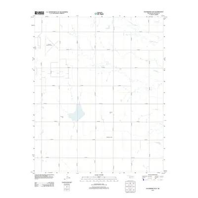
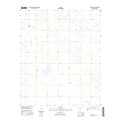
 1974 Hackberry Flat1977 Print · USGSTillman County in the mid-1970s shows a landscape shaped by petroleum and rail transport. Genealogists and local historians can locate Hackberry Cem, Dunkard Cem, and the Missouri-Kansas-Texas rail line.
 - 1975 Map of Frederick NE
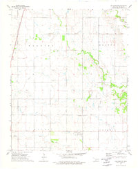
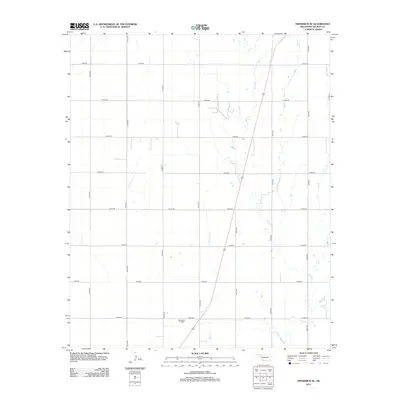
 1975 Frederick NE1975 Print · USGSThe Oklahoma plains near the Texas border come into focus in this mid-seventies aerial survey. Local historians and researchers can trace the detailed street grid of Frederick or locate the rural Tipton Cem amidst the region's expansive agricultural fields.
 - 1975 Map of Frederick SE
 1975 Frederick SE1975 Print · USGSSouthwestern Oklahoma's agricultural heartland appears in sharp aerial detail during the mid-seventies, showing the precise layout of Tillman County farms. Researchers can trace the path of Suttle Creek or examine the infrastructure of the Frederick Municipal Airport.
 - 1984 Map of Frederick SE, 1985 Print
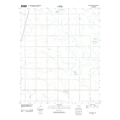
 1984 Frederick SE1985 Print · USGSTillman County in the mid-1980s reveals a landscape of petroleum production and rail transport along the Red River border. Researchers can locate the Davidson Cemetery and follow the Burlington Northern line as it passes an Oil Field.
 - 1984 Map of Frederick, 1985 Print
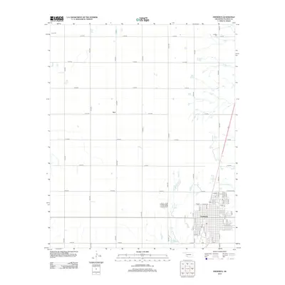
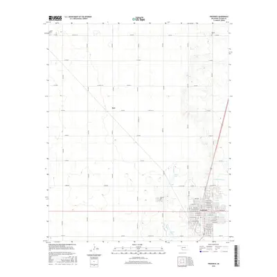
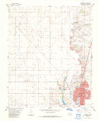 1984 Frederick1985 Print · USGSThe rail-driven hub of Frederick is captured here during the mid-eighties, showing the town's full street grid and civic layout. Local historians can trace the paths of the Missouri Kansas Texas railroad and locate the Frederick Cem or Central Sch.
 - 1985 Map of Burkburnett, 1986 Print
 1985 Burkburnett1986 Print · USGSThe Red River valley and North Texas oil fields are captured here in the mid-eighties, showing the vital connection between military hubs and rail towns. Researchers can trace the path of the Missouri Kansas Texas railroad through Burkburnett or locate Waurika Lake and Sheppard Air Force Base.2 unique versions available
 - 1986 Map of Vernon
 1986 Vernon1986 Print · USGSNorth Texas and Southern Oklahoma meet along the river in the mid-1980s, revealing a landscape defined by ranching, oil production, and rail transport. Researchers can locate distinct landmarks such as Medicine Mound, the Conley Oil Field, and the community of Punkin Center.
 - 2010 Map of Frederick, 2010 Print
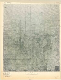
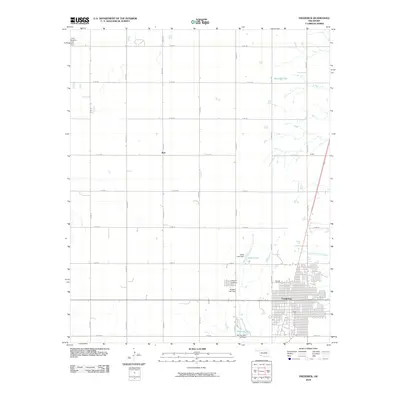 2010 Frederick2010 Print · USGSCovers Frederick, including Burt, Tillman County, and other nearby areas
 - 2010 Map of Frederick SE, 2010 Print
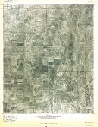
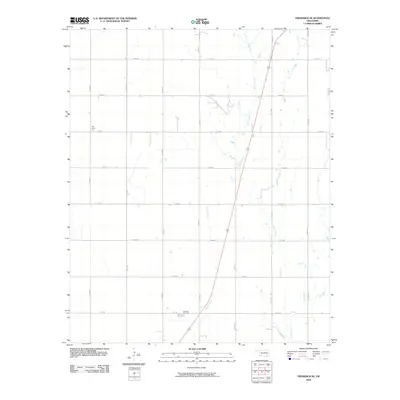 2010 Frederick SE2010 Print · USGSCovers Frederick, including Tillman County, United States, and other nearby areas
 - 2010 Map of Hollister NW, 2010 Print
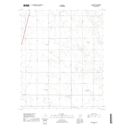
 2010 Hollister NW2010 Print · USGSCovers Frederick, including Tillman County, United States, and other nearby areas
 - 2010 Map of Hackberry Flat, 2010 Print
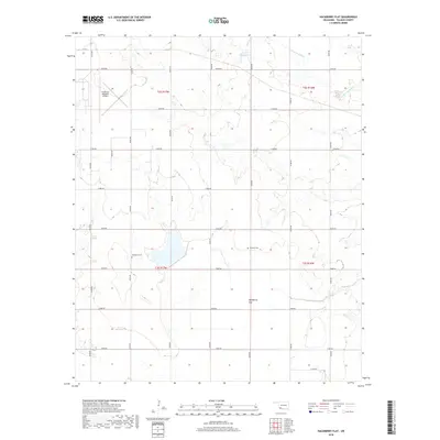
 2010 Hackberry Flat2010 Print · USGSCovers Frederick, including Hollister, Tillman County, and other nearby areas
 - 2012 Map of Hollister NW, 2012 Print
 2012 Hollister NW2012 Print · USGSCovers Frederick, including Tillman County, United States, and other nearby areas
 - 2012 Map of Frederick, 2012 Print
 2012 Frederick2012 Print · USGSCovers Frederick, including Burt, Tillman County, and other nearby areas
 - 2012 Map of Frederick SE, 2012 Print
 2012 Frederick SE2012 Print · USGSCovers Frederick, including Tillman County, United States, and other nearby areas
 - 2012 Map of Hackberry Flat, 2012 Print
 2012 Hackberry Flat2012 Print · USGSCovers Frederick, including Hollister, Tillman County, and other nearby areas
 - 2016 Map of Frederick, 2016 Print
 2016 Frederick2016 Print · USGSCovers Frederick, including Burt, Tillman County, and other nearby areas
 - 2016 Map of Frederick SE, 2016 Print
 2016 Frederick SE2016 Print · USGSCovers Frederick, including Tillman County, United States, and other nearby areas
 - 2016 Map of Hollister NW, 2016 Print
 2016 Hollister NW2016 Print · USGSCovers Frederick, including Tillman County, United States, and other nearby areas
 - 2016 Map of Hackberry Flat, 2016 Print
 2016 Hackberry Flat2016 Print · USGSCovers Frederick, including Hollister, Tillman County, and other nearby areas
 - 2018 Map of Hackberry Flat, 2018 Print
 2018 Hackberry Flat2018 Print · USGSCovers Frederick, including Hollister, Tillman County, and other nearby areas
 - 2018 Map of Hollister NW, 2018 Print
 2018 Hollister NW2018 Print · USGSCovers Frederick, including Tillman County, United States, and other nearby areas
 - 2018 Map of Frederick, 2018 Print
 2018 Frederick2018 Print · USGSCovers Frederick, including Burt, Tillman County, and other nearby areas
Showing maps 1-25 of 30
Top cities near Frederick
Frequently asked questions
- What are the different types of historical maps available for Frederick?
- What is the oldest map of Frederick?
- Where can I purchase historical maps of Frederick for my home or office?
- Where can I download high-res historical maps of Frederick?
- Are there historical topographic maps available for Frederick?
- Is there historical aerial imagery available for Frederick?
- Where are historical maps of Frederick sourced from?