2000s (21st Century) Maps of Frederick, Oklahoma
Explore 20 historic maps of Frederick from the 2000s (21st Century). These maps offer a rare glimpse into what life looked like during the 2000s — showing old roads, neighborhoods, homes, and landmarks that have changed or disappeared over time.
Whether you're researching your family's past, planning a metal detecting trip, or studying how Frederick's landscape evolved across the 2000s, these high-resolution maps are a powerful tool for exploring the history of this region.
- Focus on a specific era: All maps on this page are from the 2000s, giving you a focused view of this time period.
- See what’s changed: Compare century-old streets, trails, and buildings to today's modern landscape using overlays and satellite layers.
- Research with precision: Use these maps for genealogy, historical research, land use analysis, or educational projects.
- View, download, or print: Maps are fully viewable online in high resolution, and can be downloaded or printed for your own records.
Start exploring Frederick's history through authentic maps from the 2000s. This is your window into the past.
Frederick, OK maps
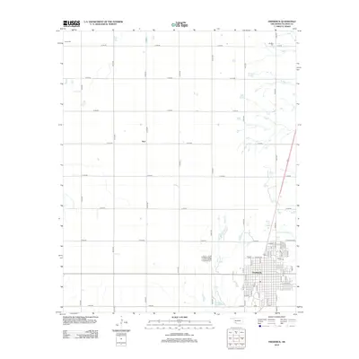
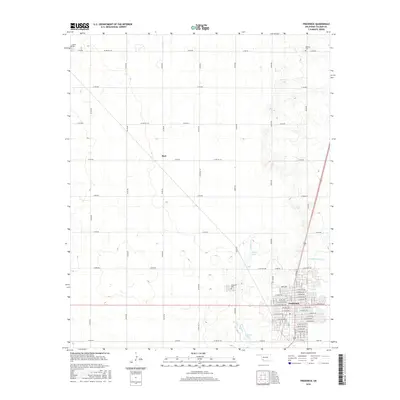
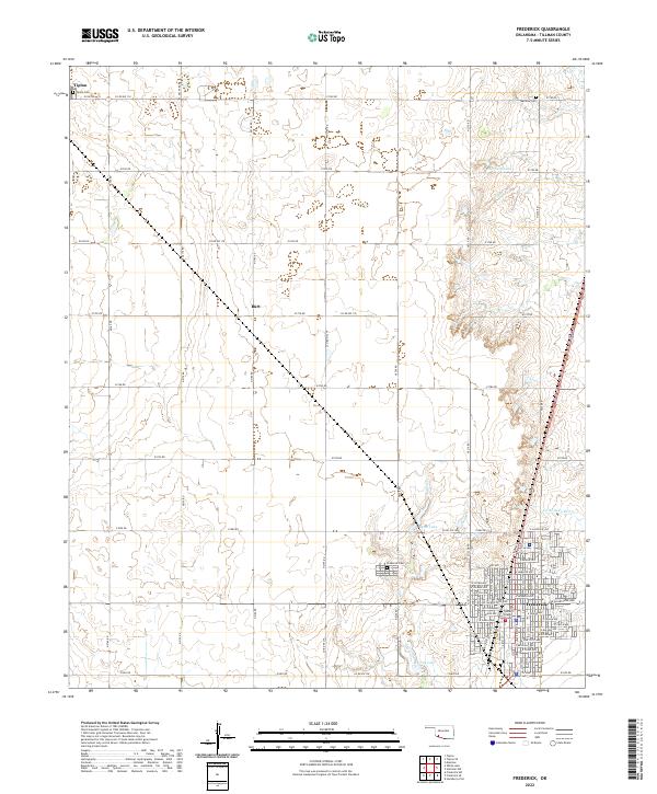
(20)- 2010 Map of Frederick, 2010 Print
 2010 Frederick2010 Print · USGSCovers Frederick, including Burt, Tillman County, and other nearby areas
 - 2010 Map of Frederick SE, 2010 Print
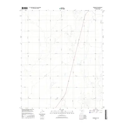
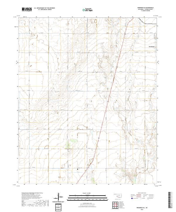
 2010 Frederick SE2010 Print · USGSCovers Frederick, including Tillman County, United States, and other nearby areas
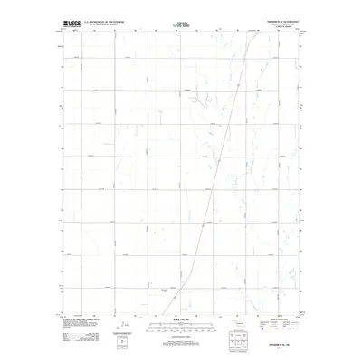
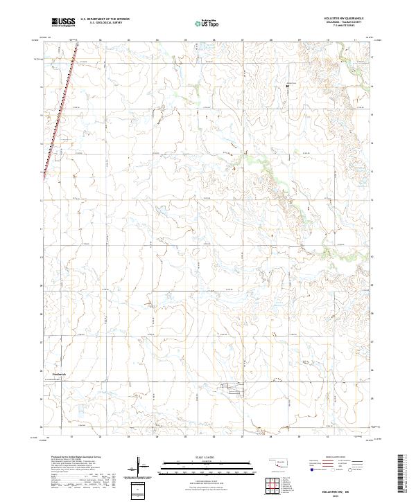
 - 2010 Map of Hollister NW, 2010 Print
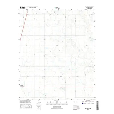
 2010 Hollister NW2010 Print · USGSCovers Frederick, including Tillman County, United States, and other nearby areas
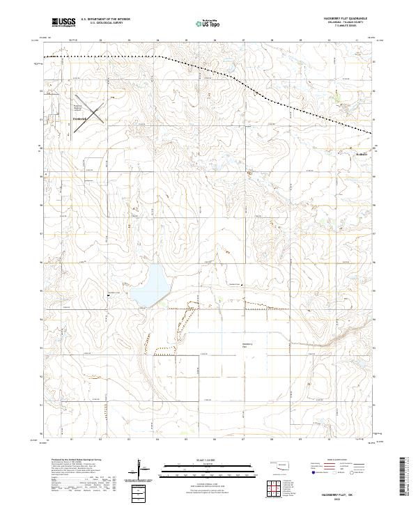
 - 2010 Map of Hackberry Flat, 2010 Print
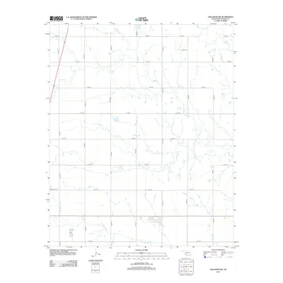
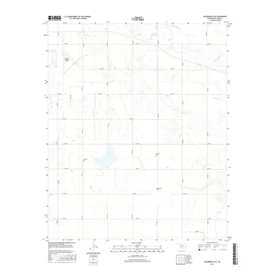
 2010 Hackberry Flat2010 Print · USGSCovers Frederick, including Hollister, Tillman County, and other nearby areas
 - 2012 Map of Hollister NW, 2012 Print
 2012 Hollister NW2012 Print · USGSCovers Frederick, including Tillman County, United States, and other nearby areas
 - 2012 Map of Frederick, 2012 Print
 2012 Frederick2012 Print · USGSCovers Frederick, including Burt, Tillman County, and other nearby areas
 - 2012 Map of Frederick SE, 2012 Print
 2012 Frederick SE2012 Print · USGSCovers Frederick, including Tillman County, United States, and other nearby areas
 - 2012 Map of Hackberry Flat, 2012 Print
 2012 Hackberry Flat2012 Print · USGSCovers Frederick, including Hollister, Tillman County, and other nearby areas
 - 2016 Map of Frederick, 2016 Print
 2016 Frederick2016 Print · USGSCovers Frederick, including Burt, Tillman County, and other nearby areas
 - 2016 Map of Frederick SE, 2016 Print
 2016 Frederick SE2016 Print · USGSCovers Frederick, including Tillman County, United States, and other nearby areas
 - 2016 Map of Hollister NW, 2016 Print
 2016 Hollister NW2016 Print · USGSCovers Frederick, including Tillman County, United States, and other nearby areas
 - 2016 Map of Hackberry Flat, 2016 Print
 2016 Hackberry Flat2016 Print · USGSCovers Frederick, including Hollister, Tillman County, and other nearby areas
 - 2018 Map of Hackberry Flat, 2018 Print
 2018 Hackberry Flat2018 Print · USGSCovers Frederick, including Hollister, Tillman County, and other nearby areas
 - 2018 Map of Hollister NW, 2018 Print
 2018 Hollister NW2018 Print · USGSCovers Frederick, including Tillman County, United States, and other nearby areas
 - 2018 Map of Frederick, 2018 Print
 2018 Frederick2018 Print · USGSCovers Frederick, including Burt, Tillman County, and other nearby areas
 - 2018 Map of Frederick SE, 2018 Print
 2018 Frederick SE2018 Print · USGSCovers Frederick, including Tillman County, United States, and other nearby areas
 - 2022 Map of Frederick SE, 2022 Print
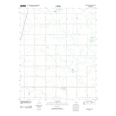
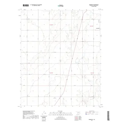
 2022 Frederick SE2022 Print · USGSTillman County's agricultural heartland is documented here in the early twenty-first century, showing the enduring section-line grid of the southern plains. Researchers can locate the Davidson Cem and trace the winding paths of Suttle Cr and Bottle Cr.
 - 2022 Map of Frederick, 2022 Print
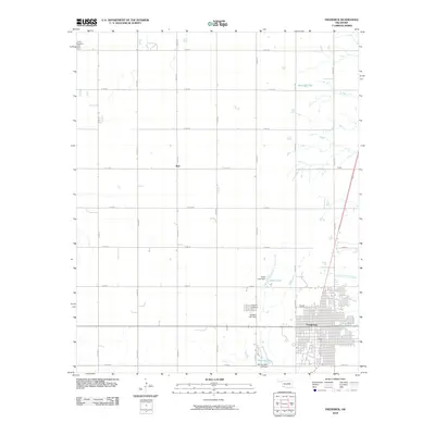
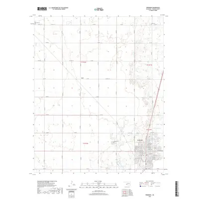
 2022 Frederick2022 Print · USGSTillman County, Oklahoma, is shown in the early twenty-first century, centered on the regional hub of Frederick. Researchers can trace old family burial sites at Tipton Cemetery and Manitou Cemetery or locate the Tillman County Courthouse.
 - 2022 Map of Hollister NW, 2022 Print
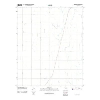
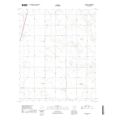
 2022 Hollister NW2022 Print · USGSTillman County is captured here in the early 2020s, showing the intersection of the Frederick town limits with the vast section-line road network. Genealogists and local researchers can locate Bethel Cem or trace the winding paths of Deadman Cr and Deep Red Cr.
 - 2022 Map of Hackberry Flat, 2022 Print
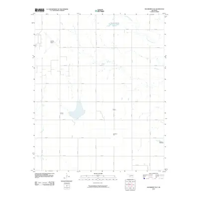
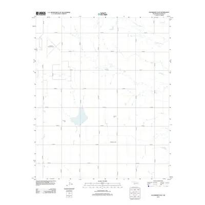
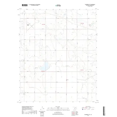
 2022 Hackberry Flat2022 Print · USGSOklahoma's southwestern plains come alive in this recent survey of Tillman County's rural townships. Local historians can trace family ties at Hackberry Cem and Dunkard Cem or explore the landscape around Frederick and Hollister.
End of results
Showing maps 1-20 of 20
Top cities near Frederick
Frequently asked questions
- What are the different types of historical maps available for Frederick?
- What is the oldest map of Frederick?
- Where can I purchase historical maps of Frederick for my home or office?
- Where can I download high-res historical maps of Frederick?
- Are there historical topographic maps available for Frederick?
- Is there historical aerial imagery available for Frederick?
- Where are historical maps of Frederick sourced from?