Old Maps of Collinsville, Oklahoma for Academic Research
Study the evolution of Collinsville with 31 high-resolution historic maps. Whether you're teaching, researching, or modeling changes in land use, these maps provide essential visual documentation of urban, environmental, and geographic change.
- Analyze long-term change: Track patterns in development, transportation, and natural features.
- Ideal for environmental or urban studies: Support academic projects with primary historical map data.
- Use in the classroom or lab: Educators and researchers rely on these maps to bring historical context to life.
These maps are a powerful tool for teaching, research, and visualizing how Collinsville has changed over the decades.
Collinsville, OK maps
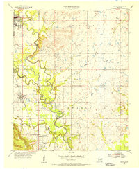
(31)- 1901 Map of Claremore
 1901 Claremore1901 Print · USGSThe Cherokee, Osage, and Creek Nations converge in the Indian Territory during this era of rapid railroad expansion. Researchers can trace early settlements and tribal boundaries, locating the Island Ferry, the junction at Claremore, and early Tulsa.4 unique versions available
 - 1914 Map of Claremore, 1959 Print
 1914 Claremore1959 Print · USGSNortheastern Oklahoma was a landscape of river crossings and rail towns in the years just before the Great War. Genealogists and researchers can trace the locations of dozens of vanished rural schools like Elm Ridge School, river landmarks such as Thomas Ferry, and the early footprints of Broken Arrow and Tulsa.
 - 1916 Map of Claremore
 1916 Claremore1916 Print · USGSThe Verdigris River valley and the burgeoning rail hubs of Rogers and Tulsa counties are captured here just after Oklahoma statehood. Genealogists can locate family homesteads near dozens of early schools like Fair Valley School or early churches such as Greenwood Chapel.4 unique versions available
 - 1954 Map of Tulsa
 1954 Tulsa1954 Print · USGSNortheast Oklahoma and the Ozark border are shown here during a period of massive industrial and infrastructure growth. Researchers can trace the legacy of the Tri-State Mining District and the development of major reservoirs like Grand Lake O' The Cherokees.2 unique versions available
 - 1955 Map of Sperry, 1956 Print
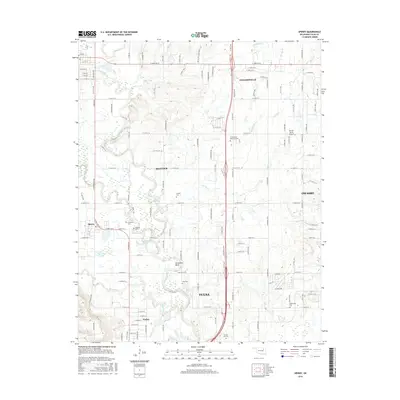
 1955 Sperry1956 Print · USGSNortheastern Oklahoma at the height of the mid-century oil boom reveals a landscape of industrial energy and deep-rooted river settlements. Researchers can trace family history at Skybuck Cem or Chisholm Cem and follow the old Midland Valley rail line through Sperry.4 unique versions available
 - 1956 Map of Collinsville, 1957 Print
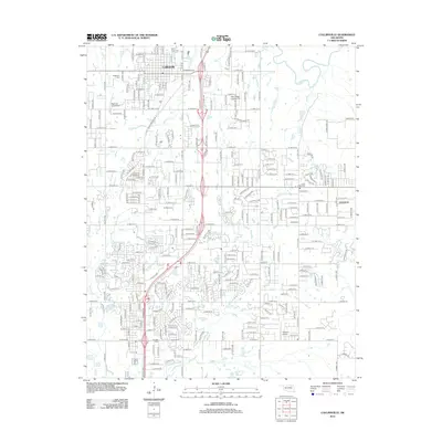
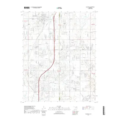
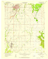 1956 Collinsville1957 Print · USGSIn the mid-1950s, the corridor between Collinsville and Owasso was a landscape of growing towns and industrial coal work. Researchers can trace family sites at Ridgelawn Cem, locate the Central High Sch, or find the massive Strip Mine works.3 unique versions available
 - 1958 Map of Tulsa, 1968 Print
 1958 Tulsa1968 Print · USGSNortheast Oklahoma and the Ozark borderlands are captured here during a massive era of reservoir construction and highway expansion. Researchers can trace the mid-century footprints of Tulsa, the sprawling Lake O' the Cherokees, and historical sites like Pea Ridge National Military Park.3 unique versions available
 - 1959 Map of Collinsville NE, 1961 Print
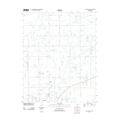
 1959 Collinsville NE1961 Print · USGSNortheastern Oklahoma at the end of the fifties is a landscape of river bends and industrial growth. Researchers can trace the Caney River floodplain or locate rural landmarks like Zion Hill Ch and the strip mine operations.3 unique versions available
 - 1959 Map of Vera, 1961 Print
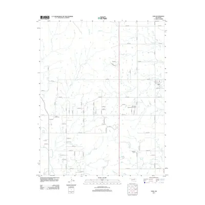
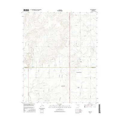
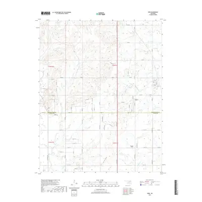
 1959 Vera1961 Print · USGSThe northern Oklahoma landscape at the end of the fifties reveals a rural frontier defined by the rail line through Vera. Genealogists and historians can trace family-named landmarks like Hillside Ch and early petroleum sites including numerous Oil Wells near Bird Creek.2 unique versions available
 - 1963 Map of Tulsa
 1963 Tulsa1963 Print · USGSThe Oklahoma and Arkansas borderlands are shown here in the early sixties, a time of massive reservoir construction and heavy mining. Genealogists can trace family roots through settlements like Nowata, Pryor, and Jay, or locate historical zinc and lead mines and coal mines.
 - 1985 Map of Tulsa
 1985 Tulsa1985 Print · USGSNortheastern Oklahoma in the mid-eighties shows a landscape shaped by massive reservoirs and a bustling transportation network. Researchers can trace the path of the Will Rogers Turnpike or locate local landmarks like Mohawk Park and Oologah Lake.2 unique versions available
 - 2010 Map of Collinsville NE, 2010 Print
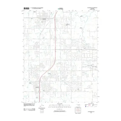
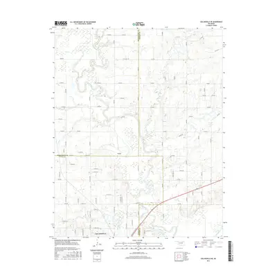
 2010 Collinsville NE2010 Print · USGSCovers Collinsville, including Vera, Rogers County, and other nearby areas
 - 2010 Map of Vera, 2010 Print
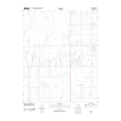 2010 Vera2010 Print · USGSCovers Collinsville, including Skiatook, Vera, and other nearby areas
 - 2010 Map of Sperry, 2010 Print
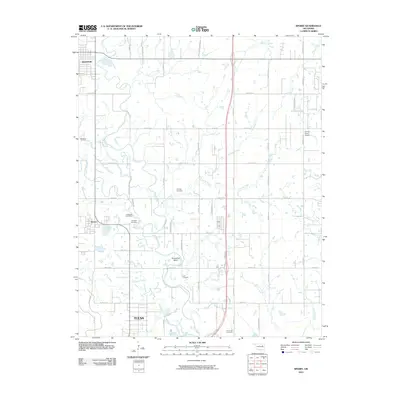 2010 Sperry2010 Print · USGSCovers Collinsville, including Tulsa, Owasso, and other nearby areas
 - 2010 Map of Collinsville, 2010 Print
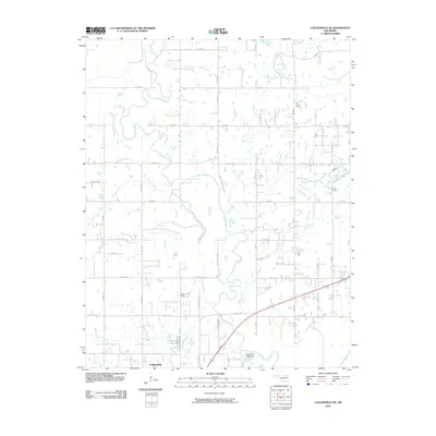
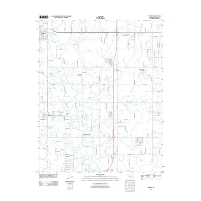
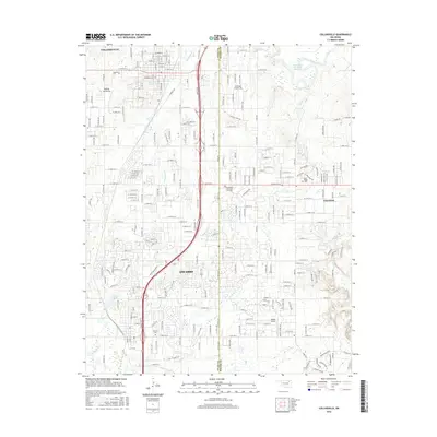
 2010 Collinsville2010 Print · USGSCovers Collinsville, including Owasso, Valley Park, and other nearby areas
 - 2012 Map of Sperry, 2012 Print
 2012 Sperry2012 Print · USGSCovers Collinsville, including Tulsa, Owasso, and other nearby areas
 - 2012 Map of Collinsville, 2012 Print
 2012 Collinsville2012 Print · USGSCovers Collinsville, including Owasso, Valley Park, and other nearby areas
 - 2012 Map of Vera, 2012 Print
 2012 Vera2012 Print · USGSCovers Collinsville, including Skiatook, Vera, and other nearby areas
 - 2012 Map of Collinsville NE, 2012 Print
 2012 Collinsville NE2012 Print · USGSCovers Collinsville, including Vera, Rogers County, and other nearby areas
 - 2016 Map of Sperry, 2016 Print
 2016 Sperry2016 Print · USGSCovers Collinsville, including Tulsa, Owasso, and other nearby areas
 - 2016 Map of Collinsville NE, 2016 Print
 2016 Collinsville NE2016 Print · USGSCovers Collinsville, including Vera, Rogers County, and other nearby areas
 - 2016 Map of Collinsville, 2016 Print
 2016 Collinsville2016 Print · USGSCovers Collinsville, including Owasso, Valley Park, and other nearby areas
 - 2016 Map of Vera, 2016 Print
 2016 Vera2016 Print · USGSCovers Collinsville, including Skiatook, Vera, and other nearby areas
 - 2019 Map of Vera, 2019 Print
 2019 Vera2019 Print · USGSCovers Collinsville, including Skiatook, Vera, and other nearby areas
 - 2019 Map of Collinsville, 2019 Print
 2019 Collinsville2019 Print · USGSCovers Collinsville, including Owasso, Valley Park, and other nearby areas
Showing maps 1-25 of 31
Top cities near Collinsville
- Tulsa historical maps
- Bartlesville historical maps
- Owasso historical maps
- Sand Springs historical maps
- Claremore historical maps
- Skiatook historical maps
See more
Frequently asked questions
- What are the different types of historical maps available for Collinsville?
- What is the oldest map of Collinsville?
- Where can I purchase historical maps of Collinsville for my home or office?
- Where can I download high-res historical maps of Collinsville?
- Are there historical topographic maps available for Collinsville?
- Is there historical aerial imagery available for Collinsville?
- Where are historical maps of Collinsville sourced from?