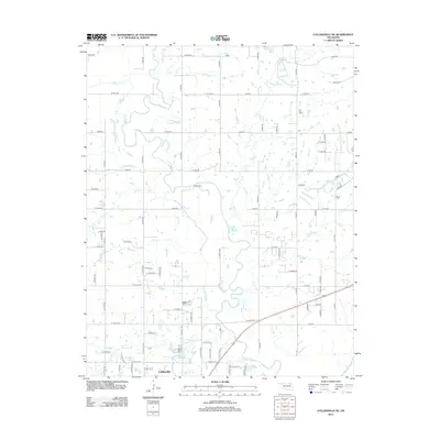
2012 Map of Collinsville NE
USGS Topo · Published 2012About this map
Collinsville anchors the southwest corner of this Oklahoma landscape, where the town's northern reaches give way to a dense network of sectional roads and meandering waterways. The Caney River serves as the primary drainage feature, snaking across the central terrain and joined by numerous tributaries including Saunders Cr, Lacy Cr, and Buck Cr. The survey captures the rural character of northern Tulsa County, defined by a rigid grid of rural routes such as W 4000 RD and E 166th ST N that intersect the natural curves of the creek valleys. Smaller watercourses like Horsepen Cr and Cherry Cr flow through the southern portion of the map, illustrating the complex hydrology that influenced local land use and development patterns in this part of the Osage Hills region during the early 21st century.
Find a feature on this map
77 named features on this map. Tap any name to fly to it.
Don’t see what you’re looking for? This feature index may not catch every label — zoom into the map to look around manually.
Map Details
Editions of this 2012 Collinsville NE Map
This is the sole edition of this map. No revisions or reprints were ever made.
Other maps of this area

1901 · Claremore
USGS Topo · 1:125,000

1901 · Nowata
USGS Topo · 1:125,000

1914 · Nowata
USGS Topo · 1:125,000

1914 · Claremore
USGS Topo · 1:125,000

1916 · Claremore
USGS Topo · 1:125,000

1954 · Tulsa
USGS Topo · 1:250,000

1955 · Sperry
USGS Topo · 1:24,000

1956 · Collinsville
USGS Topo · 1:24,000

1958 · Tulsa
USGS Topo · 1:250,000

1959 · Collinsville NE
USGS Topo · 1:24,000