
1956 Map of Collinsville
USGS Topo · Published 1957About this map
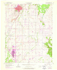
Collinsville and Owasso anchor this mid-century portrait of northeastern Oklahoma, a landscape defined by the convergence of the Atchison Topeka and Santa Fe railroad and extensive extractive operations. The map documents the heavy presence of a Strip Mine north of town and a Gravel Pit near Hobbs Creek, illustrating the industrial footprint on the prairie at this time. Local infrastructure is well-defined, from the City Hall and Central High Sch in the center of Collinsville to the outlying Washington Sch.
Find a feature on this map
26 named features on this map. Tap any name to fly to it.
Don’t see what you’re looking for? This feature index may not catch every label — zoom into the map to look around manually.
Map Details
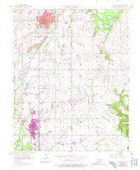
Editions of this 1956 Collinsville Map
3 editions found
Other maps of this area

1901 · Claremore
USGS Topo · 1:125,000

1914 · Claremore
USGS Topo · 1:125,000

1916 · Claremore
USGS Topo · 1:125,000

1954 · Tulsa
USGS Topo · 1:250,000

1954 · Tulsa
USGS Topo · 1:24,000

1955 · Sperry
USGS Topo · 1:24,000

1955 · Mingo
USGS Topo · 1:24,000

1958 · Tulsa
USGS Topo · 1:250,000

1959 · Collinsville NE
USGS Topo · 1:24,000
1959 · Vera
USGS Topo · 1:24,000