
1959 Map of Collinsville NE
USGS Topo · Published 1961About this map
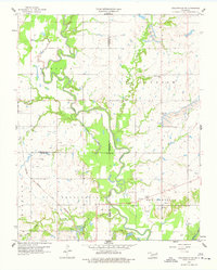
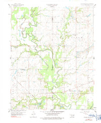
The Caney River defines the landscape of this 1959 survey, its winding path accompanied by a significant levee system as it passes through the borderlands of Rogers, Tulsa, and Washington counties. The region shows a transition between traditional agriculture and industrial extraction, characterized by numerous oil wells scattered across the uplands and prominent strip mine operations near the eastern and southern edges.
Find a feature on this map
30 named features on this map. Tap any name to fly to it.
Don’t see what you’re looking for? This feature index may not catch every label — zoom into the map to look around manually.
Map Details
Editions of this 1959 Collinsville NE Map
3 editions found
Other maps of this area

1901 · Claremore
USGS Topo · 1:125,000

1901 · Nowata
USGS Topo · 1:125,000

1914 · Nowata
USGS Topo · 1:125,000

1914 · Claremore
USGS Topo · 1:125,000

1916 · Claremore
USGS Topo · 1:125,000

1954 · Tulsa
USGS Topo · 1:250,000

1955 · Sperry
USGS Topo · 1:24,000

1956 · Collinsville
USGS Topo · 1:24,000

1958 · Tulsa
USGS Topo · 1:250,000
1959 · Vera
USGS Topo · 1:24,000