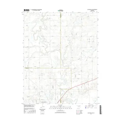
2016 Map of Collinsville NE
USGS Topo · Published 2016About this map
The Caney River winds extensively through the tri-county borderlands of Tulsa, Rogers, and Washington Counties, creating a complex floodplain that defines the local geography. In the south, the city of Collinsville serves as a primary hub, situated near the shores of Collinsville Lake. The settlement of Vera sits further north, surrounded by a landscape carved by numerous watercourses including Horsepen Cr and Rabb Cr.
Find a feature on this map
58 named features on this map. Tap any name to fly to it.
Don’t see what you’re looking for? This feature index may not catch every label — zoom into the map to look around manually.
Map Details
Editions of this 2016 Collinsville NE Map
This is the sole edition of this map. No revisions or reprints were ever made.
Other maps of this area

1901 · Claremore
USGS Topo · 1:125,000

1901 · Nowata
USGS Topo · 1:125,000

1914 · Nowata
USGS Topo · 1:125,000

1914 · Claremore
USGS Topo · 1:125,000

1916 · Claremore
USGS Topo · 1:125,000

1954 · Tulsa
USGS Topo · 1:250,000

1955 · Sperry
USGS Topo · 1:24,000

1956 · Collinsville
USGS Topo · 1:24,000

1958 · Tulsa
USGS Topo · 1:250,000

1959 · Collinsville NE
USGS Topo · 1:24,000