2000s (21st Century) Maps of Jenks, Oklahoma
Explore 20 historic maps of Jenks from the 2000s (21st Century). These maps offer a rare glimpse into what life looked like during the 2000s — showing old roads, neighborhoods, homes, and landmarks that have changed or disappeared over time.
Whether you're researching your family's past, planning a metal detecting trip, or studying how Jenks's landscape evolved across the 2000s, these high-resolution maps are a powerful tool for exploring the history of this region.
- Focus on a specific era: All maps on this page are from the 2000s, giving you a focused view of this time period.
- See what’s changed: Compare century-old streets, trails, and buildings to today's modern landscape using overlays and satellite layers.
- Research with precision: Use these maps for genealogy, historical research, land use analysis, or educational projects.
- View, download, or print: Maps are fully viewable online in high resolution, and can be downloaded or printed for your own records.
Start exploring Jenks's history through authentic maps from the 2000s. This is your window into the past.
Jenks, OK maps
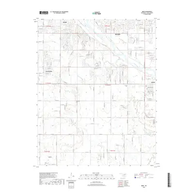
(20)- 2010 Map of Sapulpa South, 2010 Print
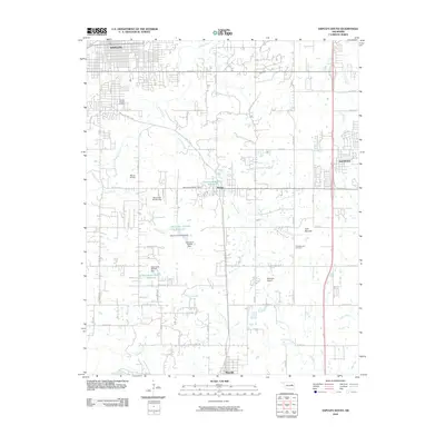 2010 Sapulpa South2010 Print · USGSCovers Jenks, including Sapulpa, Glenpool, and other nearby areas
 - 2010 Map of Bixby, 2010 Print
 2010 Bixby2010 Print · USGSCovers Jenks, including Tulsa, Bixby, and other nearby areas
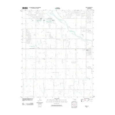
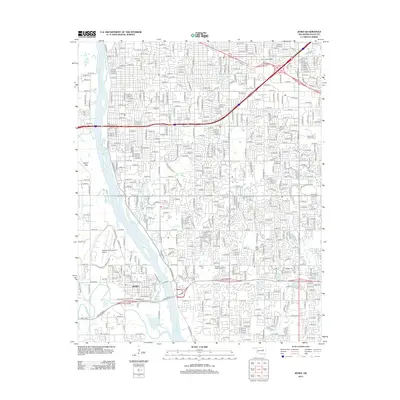
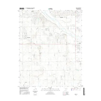
 - 2010 Map of Jenks, 2010 Print
 2010 Jenks2010 Print · USGSCovers Jenks, including Tulsa, Bixby, and other nearby areas
 - 2010 Map of Sapulpa North, 2010 Print
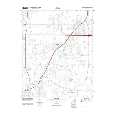 2010 Sapulpa North2010 Print · USGSCovers Jenks, including Tulsa, Sapulpa, and other nearby areas
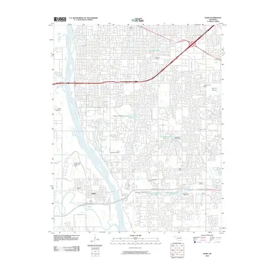
 - 2012 Map of Jenks, 2012 Print
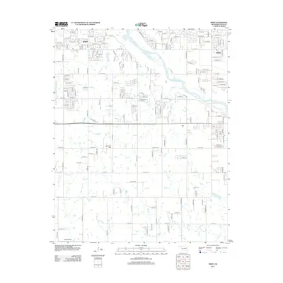
 2012 Jenks2012 Print · USGSCovers Jenks, including Tulsa, Bixby, and other nearby areas
 - 2012 Map of Bixby, 2012 Print
 2012 Bixby2012 Print · USGSCovers Jenks, including Tulsa, Bixby, and other nearby areas
 - 2012 Map of Sapulpa North, 2012 Print
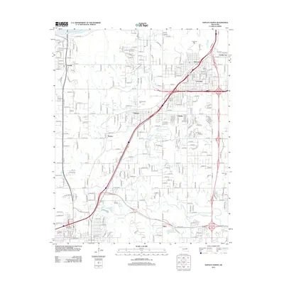 2012 Sapulpa North2012 Print · USGSCovers Jenks, including Tulsa, Sapulpa, and other nearby areas
 - 2013 Map of Sapulpa South, 2013 Print
 2013 Sapulpa South2013 Print · USGSCovers Jenks, including Sapulpa, Glenpool, and other nearby areas
 - 2016 Map of Bixby, 2016 Print
 2016 Bixby2016 Print · USGSCovers Jenks, including Tulsa, Bixby, and other nearby areas
 - 2016 Map of Sapulpa South, 2016 Print
 2016 Sapulpa South2016 Print · USGSCovers Jenks, including Sapulpa, Glenpool, and other nearby areas
 - 2016 Map of Sapulpa North, 2016 Print
 2016 Sapulpa North2016 Print · USGSCovers Jenks, including Tulsa, Sapulpa, and other nearby areas
 - 2016 Map of Jenks, 2016 Print
 2016 Jenks2016 Print · USGSCovers Jenks, including Tulsa, Bixby, and other nearby areas
 - 2018 Map of Sapulpa South, 2018 Print
 2018 Sapulpa South2018 Print · USGSCovers Jenks, including Sapulpa, Glenpool, and other nearby areas
 - 2018 Map of Bixby, 2018 Print
 2018 Bixby2018 Print · USGSCovers Jenks, including Tulsa, Bixby, and other nearby areas
 - 2018 Map of Sapulpa North, 2018 Print
 2018 Sapulpa North2018 Print · USGSCovers Jenks, including Tulsa, Sapulpa, and other nearby areas
 - 2019 Map of Jenks, 2019 Print
 2019 Jenks2019 Print · USGSCovers Jenks, including Tulsa, Bixby, and other nearby areas
 - 2022 Map of Bixby, 2022 Print
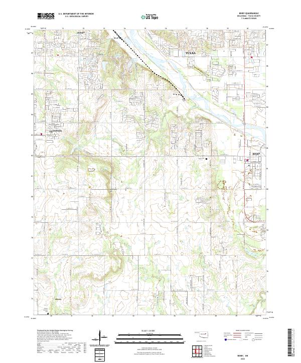 2022 Bixby2022 Print · USGSBixby and the southern Tulsa suburbs are captured here during a period of modern expansion along the Arkansas River. Researchers can trace local family history at Bixby Cemetery or explore the rural-to-suburban transition near Liberty and Applegate Hill.
 - 2022 Map of Sapulpa South, 2022 Print
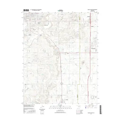
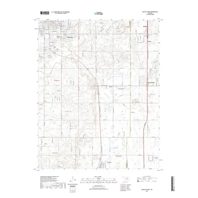
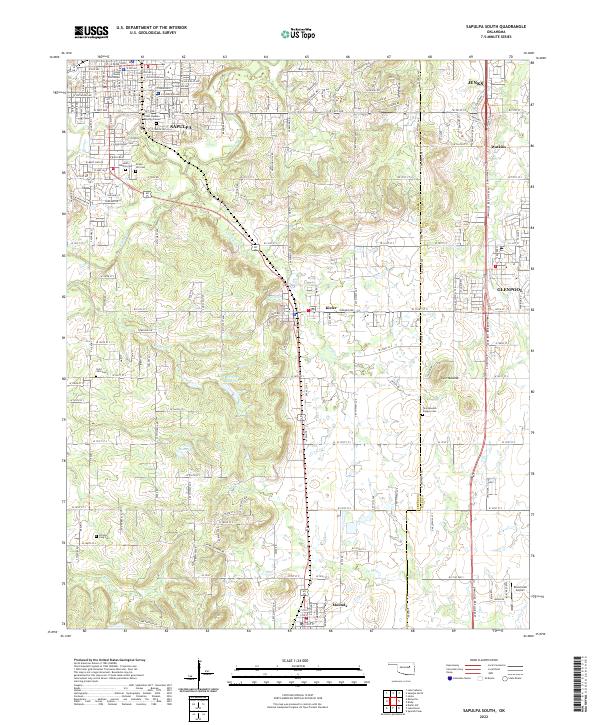 2022 Sapulpa South2022 Print · USGSCreek County south of Sapulpa exhibits a landscape of deep local history and energy development during the early twenty-first century. Genealogists and researchers can locate several notable burial sites including the Chief Sapulpa Burying Ground, Saint John Cem, and the historic Twin Mounds Pioneer Cem.
 - 2022 Map of Sapulpa North, 2022 Print
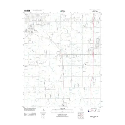
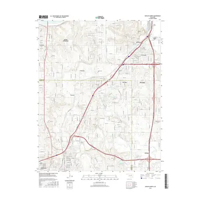
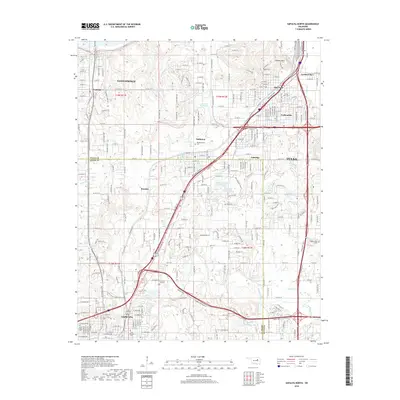
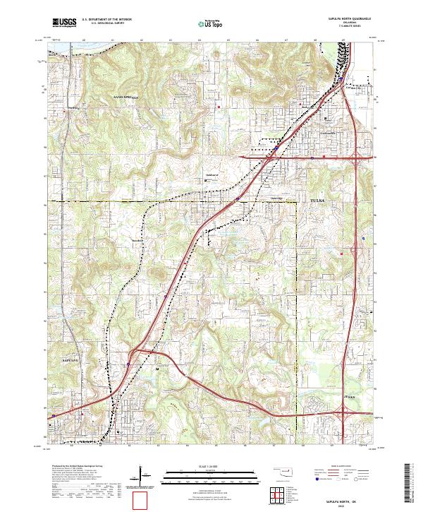 2022 Sapulpa North2022 Print · USGSCreek County and Tulsa County meet in this modern survey of the urban-suburban corridor between Sapulpa and Jenks. Researchers can locate family sites at Little Cussetah Cem, track the BNSF Railway, and find local landmarks like Lookout Mtn.
 - 2022 Map of Jenks, 2022 Print
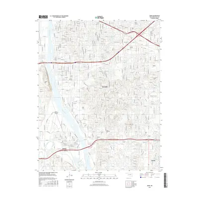
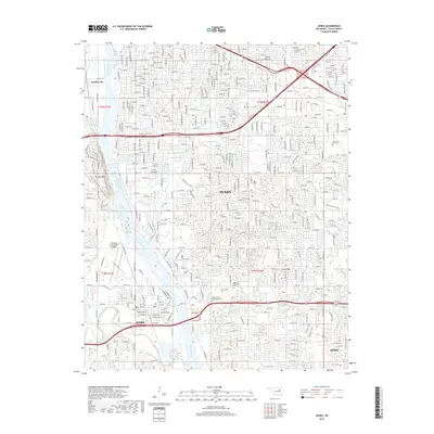
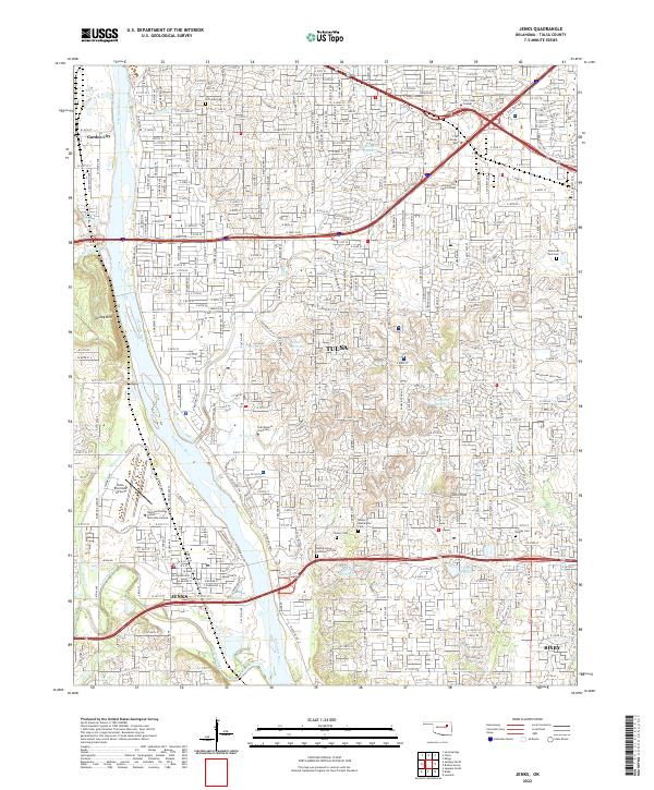 2022 Jenks2022 Print · USGSGreater Tulsa and the riverside community of Jenks are shown here during a period of sustained suburban growth in the early 2020s. Genealogists and local historians can locate established landmarks such as Oral Roberts University, Turkey Mountain, and several historical sites like the Rentie Grove Community Cemetery.
End of results
Showing maps 1-20 of 20
Top cities near Jenks
- Tulsa historical maps
- Broken Arrow historical maps
- Bixby historical maps
- Sapulpa historical maps
- Sand Springs historical maps
- Glenpool historical maps
See more
Top neighborhoods of Jenks
- Henley at Yorktown historical maps
- Manchester at Yorktown historical maps
- Plymouth at Yorktown historical maps
- Remington at Yorktown historical maps
- Shelby at Yorktown historical maps
- Birmingham at Yorktown historical maps
See more
Frequently asked questions
- What are the different types of historical maps available for Jenks?
- What is the oldest map of Jenks?
- Where can I purchase historical maps of Jenks for my home or office?
- Where can I download high-res historical maps of Jenks?
- Are there historical topographic maps available for Jenks?
- Is there historical aerial imagery available for Jenks?
- Where are historical maps of Jenks sourced from?