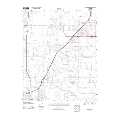
2010 Map of Sapulpa North
USGS Topo · Published 2010About this map
Prattville and the southern banks of the Arkansas River define the northern edge of this landscape, where the urban outskirts of Tulsa meet the expanding infrastructure of Creek County. The topography is dominated by the prominence of Lookout Mountain and the winding course of Polecat Creek to the south. This era is characterized by a high concentration of small reservoirs and industrial impoundments, including the Fair Oil Company Lake and several numbered Parthenia reservoirs, reflecting the region's managed water resources.
Find a feature on this map
74 named features on this map. Tap any name to fly to it.
Don’t see what you’re looking for? This feature index may not catch every label — zoom into the map to look around manually.
Map Details
Editions of this 2010 Sapulpa North Map
This is the sole edition of this map. No revisions or reprints were ever made.
Other maps of this area

1896 · Okmulgee
USGS Topo · 1:125,000

1900 · Okmulgee
USGS Topo · 1:125,000

1901 · Claremore
USGS Topo · 1:125,000

1901 · Nuyaka
USGS Topo · 1:125,000

1912 · Hominy
USGS Topo · 1:125,000

1914 · Kiefer
USGS Topo · 1:62,500

1914 · Claremore
USGS Topo · 1:125,000

1915 · Hominy
USGS Topo · 1:125,000

1916 · Kiefer
USGS Topo · 1:62,500

1916 · Claremore
USGS Topo · 1:125,000