Old Maps of Coweta, Oklahoma for Academic Research
Study the evolution of Coweta with 38 high-resolution historic maps. Whether you're teaching, researching, or modeling changes in land use, these maps provide essential visual documentation of urban, environmental, and geographic change.
- Analyze long-term change: Track patterns in development, transportation, and natural features.
- Ideal for environmental or urban studies: Support academic projects with primary historical map data.
- Use in the classroom or lab: Educators and researchers rely on these maps to bring historical context to life.
These maps are a powerful tool for teaching, research, and visualizing how Coweta has changed over the decades.
Coweta, OK maps
(38)- 1896 Map of Okmulgee, 1954 Print
 1896 Okmulgee1954 Print · USGSThe Creek Nation of the Indian Territory is captured here in the late nineteenth century, just before the turn of the century. Genealogists and researchers can trace early mission sites like Wealaka Mission and established frontier settlements including Council Hill and Wellington.
 - 1900 Map of Okmulgee
 1900 Okmulgee1900 Print · USGSThe Indian Territory of the Creek Nation is captured here during the late 1890s, just before statehood changed the region forever. Researchers can trace the early foundations of Okmulgee or locate vanished sites like Wealaka Mission and Wellington (Lee P.O.).6 unique versions available
 - 1901 Map of Claremore
 1901 Claremore1901 Print · USGSThe Cherokee, Osage, and Creek Nations converge in the Indian Territory during this era of rapid railroad expansion. Researchers can trace early settlements and tribal boundaries, locating the Island Ferry, the junction at Claremore, and early Tulsa.4 unique versions available
 - 1914 Map of Claremore, 1959 Print
 1914 Claremore1959 Print · USGSNortheastern Oklahoma was a landscape of river crossings and rail towns in the years just before the Great War. Genealogists and researchers can trace the locations of dozens of vanished rural schools like Elm Ridge School, river landmarks such as Thomas Ferry, and the early footprints of Broken Arrow and Tulsa.
 - 1916 Map of Claremore
 1916 Claremore1916 Print · USGSThe Verdigris River valley and the burgeoning rail hubs of Rogers and Tulsa counties are captured here just after Oklahoma statehood. Genealogists can locate family homesteads near dozens of early schools like Fair Valley School or early churches such as Greenwood Chapel.4 unique versions available
 - 1946 Map of Fort Smith
 1946 Fort Smith1946 Print · USGSThe Arkansas-Oklahoma borderlands appear here in the mid-forties, as new reservoirs began to transform the river valleys. Genealogists and historians can trace rail-served towns from Muskogee to Fort Smith and locate landmarks like Camp Chaffee.
 - 1954 Map of Tulsa
 1954 Tulsa1954 Print · USGSNortheast Oklahoma and the Ozark border are shown here during a period of massive industrial and infrastructure growth. Researchers can trace the legacy of the Tri-State Mining District and the development of major reservoirs like Grand Lake O' The Cherokees.2 unique versions available
 - 1957 Map of Leonard, 1958 Print
 1957 Leonard1958 Print · USGSThe mid-century energy economy and river geography of the Tulsa area are in focus here just as the post-war oil boom shaped the landscape. Genealogists and historians can locate family landmarks such as Simmons Cem, Leonard Sch, and the Church of God.4 unique versions available
 - 1958 Map of Tulsa, 1968 Print
 1958 Tulsa1968 Print · USGSNortheast Oklahoma and the Ozark borderlands are captured here during a massive era of reservoir construction and highway expansion. Researchers can trace the mid-century footprints of Tulsa, the sprawling Lake O' the Cherokees, and historical sites like Pea Ridge National Military Park.3 unique versions available
 - 1963 Map of Tulsa
 1963 Tulsa1963 Print · USGSThe Oklahoma and Arkansas borderlands are shown here in the early sixties, a time of massive reservoir construction and heavy mining. Genealogists can trace family roots through settlements like Nowata, Pryor, and Jay, or locate historical zinc and lead mines and coal mines.
 - 1963 Map of Red Bird, 1964 Print
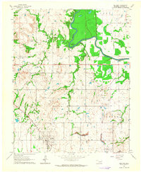 1963 Red Bird1964 Print · USGSWagoner County was a busy intersection of rail, river, and industry in the early sixties. Researchers can trace the legacy of local settlements like Red Bird and Porter, or locate specific landmarks like Lincoln Cem and the bends of the Verdigris River.4 unique versions available
 - 1963 Map of Coweta, 1964 Print
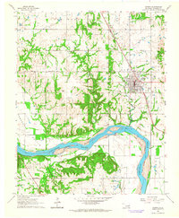 1963 Coweta1964 Print · USGSWagoner County as the oil and gas industry matured in the early sixties, centered on the Arkansas River. Trace family histories at Tiger Cem and Odd Fellow Cem or the rails of the Missouri-Kansas-Texas line.3 unique versions available
 - 1963 Map of Oneta, 1964 Print
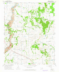 1963 Oneta1964 Print · USGSWagoner County during the early sixties shows a landscape of rail-fed settlements and active extraction. Researchers can locate family landmarks like Springtown Church and Bailey Cemetery alongside the Strip Mines and the Missouri-Kansas-Texas railroad.3 unique versions available
 - 1965 Map of Fort Smith
 1965 Fort Smith1965 Print · USGSEastern Oklahoma and Western Arkansas are captured here during a period of massive post-war change as new reservoirs reshaped the river valleys. Genealogists and historians can trace the rail networks of the Midland Valley RR and find established communities like Stilwell, Sallisaw, and Stigler.
 - 1967 Map of Fort Smith
 1967 Fort Smith1967 Print · USGSThe Arkansas River valley and the foothills of the Ozarks are captured here during a period of significant military and industrial activity. Researchers can trace the sprawling bounds of Camp Chaffee and Camp Gruber or locate vanished rail stops along the Midland Valley RR.
 - 1978 Map of Muskogee, 1979 Print
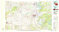 1978 Muskogee1979 Print · USGSThe confluence of the Arkansas, Verdigris, and Neosho Rivers defines the Muskogee region in the late seventies. Genealogists and historians can trace the footprints of Camp Gruber (Abandoned), the campus of Bacone College, and early aviation at Hatbox Field.
 - 1978 Map of Fort Smith, 1979 Print
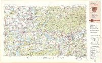 1978 Fort Smith1979 Print · USGSThe Arkansas-Oklahoma borderlands in the late seventies show a landscape shaped by massive river reservoirs and sprawling military reservations. Trace the historic rail lines of the Missouri Pacific RR and locate regional landmarks like Fort Gibson, Tenkiller Ferry Lake, and Barling.2 unique versions available
 - 1985 Map of Tulsa
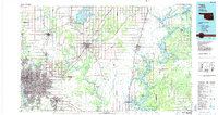 1985 Tulsa1985 Print · USGSNortheastern Oklahoma in the mid-eighties shows a landscape shaped by massive reservoirs and a bustling transportation network. Researchers can trace the path of the Will Rogers Turnpike or locate local landmarks like Mohawk Park and Oologah Lake.2 unique versions available
 - 2010 Map of Oneta, 2010 Print
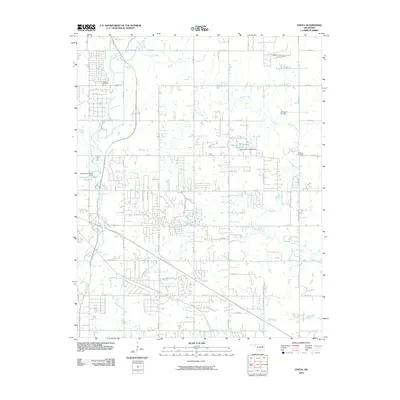 2010 Oneta2010 Print · USGSTulsa’s eastern suburban frontier comes into focus during this period of rapid expansion and highway growth. Genealogists and local historians can trace family roots at Smith Cemetery or Bailey Cemetery while following the paths of Adams Creek and the Creek Tpke.
 - 2010 Map of Leonard, 2010 Print
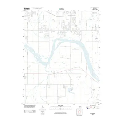 2010 Leonard2010 Print · USGSThe Arkansas River valley south of Broken Arrow is shown here as it appeared in the early twenty-first century. Genealogists and local historians can locate the Simmons Cemetery, trace the course of Snake Creek, and see the infrastructure of the Bixhoma Dam.
 - 2010 Map of Red Bird, 2010 Print
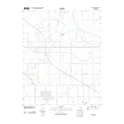 2010 Red Bird2010 Print · USGSWagoner County at the start of the 2010s shows a landscape of rural tradition meeting modern transit routes. Genealogists can locate several local burial sites like Hawkins Cemetery and Beck Cemetery near the winding Verdigris River.
 - 2010 Map of Coweta, 2010 Print
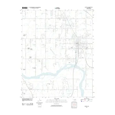 2010 Coweta2010 Print · USGSWagoner County at the start of the 2010s shows a landscape of river-bottom farming and growing townships. Genealogists can trace family footprints across numerous sites like Tiger Cemetery, Bird Cemetery, and Stonebluff along the Arkansas River.
 - 2012 Map of Oneta, 2012 Print
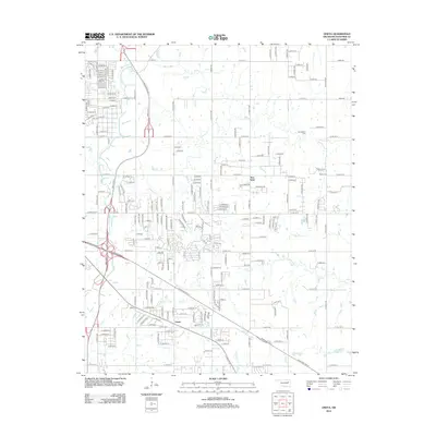 2012 Oneta2012 Print · USGSThe outskirts of Tulsa and the community of Oneta are shown here as they appeared during the early twenty-first century. Genealogists and local historians can trace rural family plots at Smith Cem and Bailey Cem along the banks of Adams Cr.
 - 2012 Map of Red Bird, 2012 Print
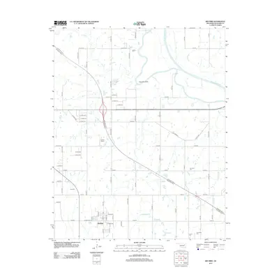 2012 Red Bird2012 Print · USGSThe rural landscape of Wagoner County is captured here in the early twenty-first century, centered on the historic town of Red Bird. Genealogists and local historians can locate several family and community burial grounds, such as Hawkins, Beck, and Lincoln Cemeteries.
 - 2012 Map of Leonard, 2012 Print
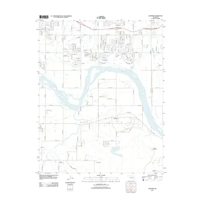 2012 Leonard2012 Print · USGSBixby and Leonard are shown in this modern era as suburban growth meets the rural landscape of the Arkansas River valley. Genealogists can locate several burial grounds including White Church Cem, Snake Creek Cem, and Simmons Cem.
Showing maps 1-25 of 38
Top cities near Coweta
- Tulsa historical maps
- Broken Arrow historical maps
- Muskogee historical maps
- Bixby historical maps
- Catoosa historical maps
- Verdigris historical maps
See more
Top neighborhoods of Coweta
- Timber Ridge Estates historical maps
- Celebration at The Woods historical maps
- Country Village historical maps
- Park View East historical maps
- Spradlin Estates historical maps
- Sugarhill historical maps
See more
Frequently asked questions
- What are the different types of historical maps available for Coweta?
- What is the oldest map of Coweta?
- Where can I purchase historical maps of Coweta for my home or office?
- Where can I download high-res historical maps of Coweta?
- Are there historical topographic maps available for Coweta?
- Is there historical aerial imagery available for Coweta?
- Where are historical maps of Coweta sourced from?