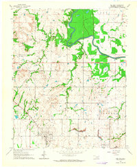
1963 Map of Red Bird
USGS Topo · Published 1964About this map
The Verdigris River snakes through the northern portion of this Oklahoma landscape, creating a prominent oxbow at Horseshoe Bend. In the early 1960s, the region was defined by a mix of agricultural activity and natural resource extraction, evidenced by numerous Oil Wells and a southern Strip Mine. The settlement of Red Bird serves as a focal point along the Missouri-Kansas-Texas railroad line, while the nearby town of Porter marks the southeastern edge of the survey. The terrain is relatively level, broken by the elevation of Blue Mound and drainage systems like Coal Creek and Strawberry Creek. For those researching family history, Lincoln Cem and Greenwood Cem offer specific points of interest within the local community fabric.
Find a feature on this map
22 named features on this map. Tap any name to fly to it.
Don’t see what you’re looking for? This feature index may not catch every label — zoom into the map to look around manually.
Map Details
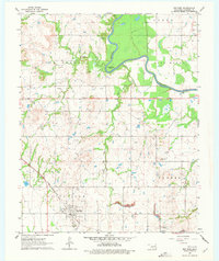
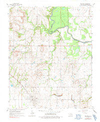
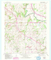
Editions of this 1963 Red Bird Map
4 editions found
Other maps of this area

1896 · Okmulgee
USGS Topo · 1:125,000

1896 · Pryor
USGS Topo · 1:125,000

1900 · Okmulgee
USGS Topo · 1:125,000

1901 · Muscogee
USGS Topo · 1:125,000

1901 · Claremore
USGS Topo · 1:125,000

1901 · Pryor
USGS Topo · 1:125,000

1905 · Muscogee
USGS Topo · 1:125,000

1914 · Claremore
USGS Topo · 1:125,000

1916 · Claremore
USGS Topo · 1:125,000

1946 · Fort Smith
USGS Topo · 1:250,000