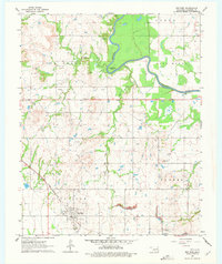
1963 Map of Red Bird
USGS Topo · Published 1978About this map
The Missouri-Kansas-Texas railroad cuts a diagonal path through the landscape, anchoring the settlement of Red Bird and the neighboring community of Gatesville. This early 1960s survey documents a region defined by its proximity to the meandering Verdigris River, which carves dramatic features like Horseshoe Bend through the terrain. The map is a vital resource for genealogical research, identifying numerous family and community burial grounds including Hawkins Cem, Beck Cem, and Lincoln Cem. Beyond the river and rail corridors, the land is heavily marked by the region's extraction history, with a high density of Oil Wells peppered across Coal Creek and a visible Strip Mine in the southern portion of the quadrangle. These industrial markings reveal the economic drivers of the Wagoner County countryside during this era of Oklahoma's history.
Find a feature on this map
24 named features on this map. Tap any name to fly to it.
Don’t see what you’re looking for? This feature index may not catch every label — zoom into the map to look around manually.
Map Details
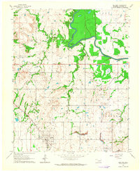
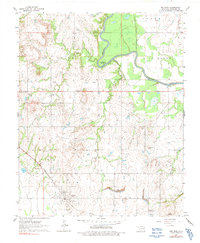
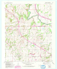
Editions of this 1963 Red Bird Map
4 editions found
Other maps of this area

1896 · Okmulgee
USGS Topo · 1:125,000

1896 · Pryor
USGS Topo · 1:125,000

1900 · Okmulgee
USGS Topo · 1:125,000

1901 · Muscogee
USGS Topo · 1:125,000

1901 · Claremore
USGS Topo · 1:125,000

1901 · Pryor
USGS Topo · 1:125,000

1905 · Muscogee
USGS Topo · 1:125,000

1914 · Claremore
USGS Topo · 1:125,000

1916 · Claremore
USGS Topo · 1:125,000

1946 · Fort Smith
USGS Topo · 1:250,000