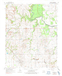
1963 Map of Red Bird
USGS Topo · Published 1991About this map
Red Bird and the neighboring settlements of Gatesville and Porter dominate the southern landscape of this mid-century survey. The region is defined by the winding course of the Verdigris River, which carves through the terrain to create Horseshoe Bend in the north. This area shows a distinct mid-20th-century transition, where the heavy presence of Oil Wells and Oil Well sites are interspersed among older landmarks like Hawkins Cem and Lincoln Cem.
Find a feature on this map
20 named features on this map. Tap any name to fly to it.
Don’t see what you’re looking for? This feature index may not catch every label — zoom into the map to look around manually.
Map Details
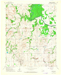
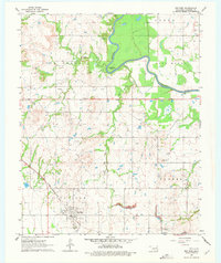
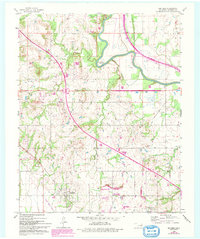
Editions of this 1963 Red Bird Map
4 editions found
Other maps of this area

1896 · Okmulgee
USGS Topo · 1:125,000

1896 · Pryor
USGS Topo · 1:125,000

1900 · Okmulgee
USGS Topo · 1:125,000

1901 · Muscogee
USGS Topo · 1:125,000

1901 · Claremore
USGS Topo · 1:125,000

1901 · Pryor
USGS Topo · 1:125,000

1905 · Muscogee
USGS Topo · 1:125,000

1914 · Claremore
USGS Topo · 1:125,000

1916 · Claremore
USGS Topo · 1:125,000

1946 · Fort Smith
USGS Topo · 1:250,000