2000s (21st Century) Maps of Albany, Oregon
Explore 15 historic maps of Albany from the 2000s (21st Century). These maps offer a rare glimpse into what life looked like during the 2000s — showing old roads, neighborhoods, homes, and landmarks that have changed or disappeared over time.
Whether you're researching your family's past, planning a metal detecting trip, or studying how Albany's landscape evolved across the 2000s, these high-resolution maps are a powerful tool for exploring the history of this region.
- Focus on a specific era: All maps on this page are from the 2000s, giving you a focused view of this time period.
- See what’s changed: Compare century-old streets, trails, and buildings to today's modern landscape using overlays and satellite layers.
- Research with precision: Use these maps for genealogy, historical research, land use analysis, or educational projects.
- View, download, or print: Maps are fully viewable online in high resolution, and can be downloaded or printed for your own records.
Start exploring Albany's history through authentic maps from the 2000s. This is your window into the past.
Albany, OR maps
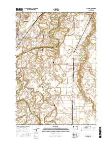
(15)- 2011 Map of Riverside, 2011 Print
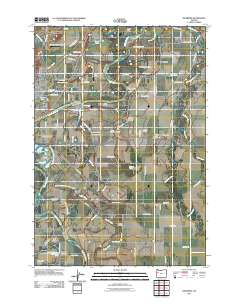 2011 Riverside2011 Print · USGSCovers Albany, including Corvallis, Tangent, and other nearby areas
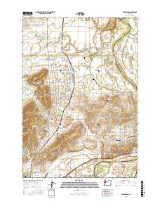
 - 2011 Map of Tangent, 2011 Print
 2011 Tangent2011 Print · USGSCovers Albany, including Tangent, Linn County, and other nearby areas
 - 2014 Map of Albany, 2014 Print
 2014 Albany2014 Print · USGSCovers Albany, including Jefferson, Millersburg, and other nearby areas
 - 2014 Map of Tangent, 2014 Print
 2014 Tangent2014 Print · USGSCovers Albany, including Tangent, Linn County, and other nearby areas
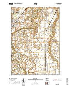
 - 2014 Map of Riverside, 2014 Print
 2014 Riverside2014 Print · USGSCovers Albany, including Corvallis, Tangent, and other nearby areas
 - 2017 Map of Tangent, 2017 Print
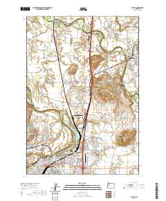
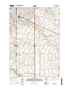 2017 Tangent2017 Print · USGSCovers Albany, including Tangent, Linn County, and other nearby areas
 - 2017 Map of Albany, 2017 Print
 2017 Albany2017 Print · USGSCovers Albany, including Jefferson, Millersburg, and other nearby areas
 - 2017 Map of Riverside, 2017 Print
 2017 Riverside2017 Print · USGSCovers Albany, including Corvallis, Tangent, and other nearby areas
 - 2017 Map of Lewisburg, 2017 Print
 2017 Lewisburg2017 Print · USGSCovers Albany, including Adair Village, Lewisburg, and other nearby areas
 - 2020 Map of Riverside, 2020 Print
 2020 Riverside2020 Print · USGSCovers Albany, including Corvallis, Tangent, and other nearby areas
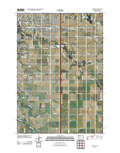
 - 2020 Map of Albany, 2020 Print
 2020 Albany2020 Print · USGSCovers Albany, including Jefferson, Millersburg, and other nearby areas
 - 2023 Map of Tangent, 2023 Print
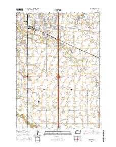
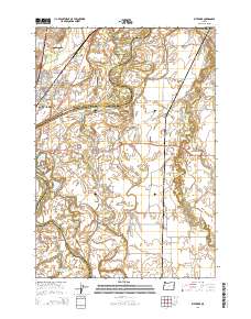
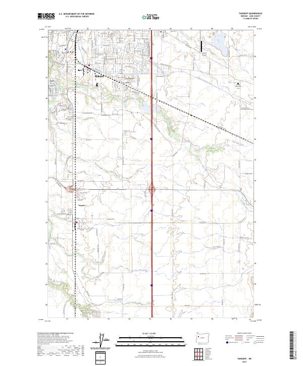 2023 Tangent2023 Print · USGSThe area around Albany and Tangent reveals a landscape shaped by water and education in the early twenty-first century. Genealogists and local historians can locate the Fairview Mennonite Cem and trace the routes of the Albany Santiam Canal and Calapooia River.
 - 2023 Map of Albany, 2023 Print
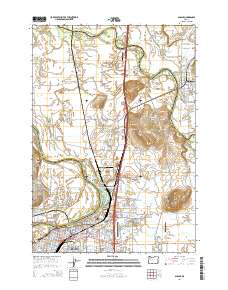
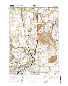
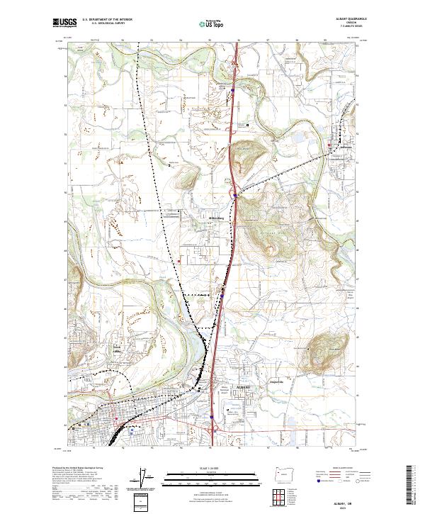 2023 Albany2023 Print · USGSThe Willamette Valley at the confluence of the Santiam and Willamette rivers shows a landscape shaped by water and rail. Genealogists can trace family names at Allphin Cem or Masonic Cem, while collectors can locate landmarks like Mitchell Field.
 - 2024 Map of Lewisburg, 2024 Print
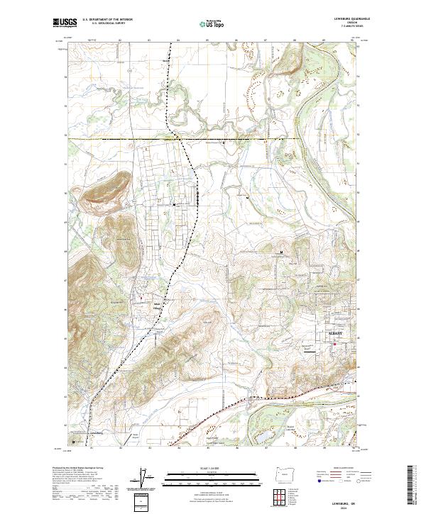 2024 Lewisburg2024 Print · USGSSettled plains and river bottomlands near the Benton and Polk county line come alive in this survey. Researchers can trace historic family burial sites at Gingles Cem or locate the small airfields of Flying Tom Airport and Gates Airport.
 - 2024 Map of Riverside, 2024 Print
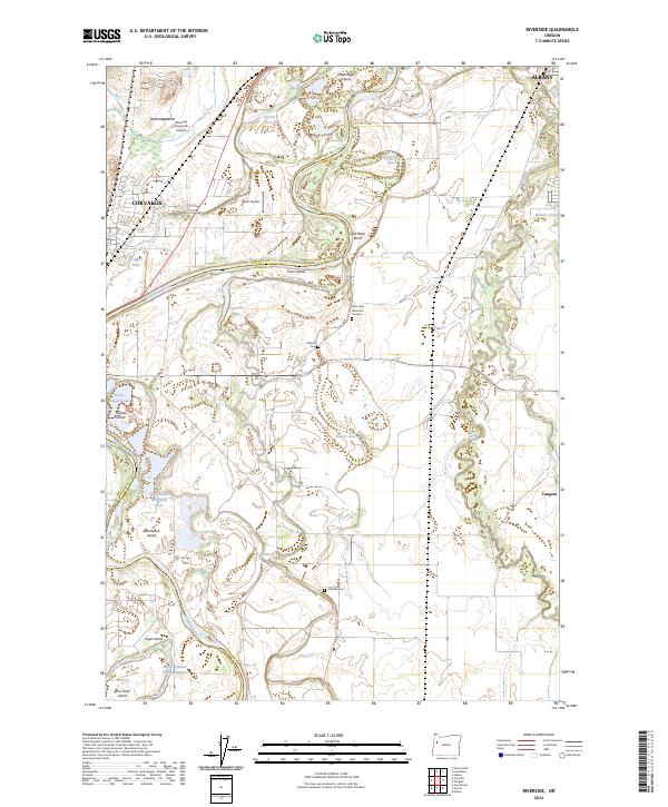 2024 Riverside2024 Print · USGSThe Willamette Valley between Albany and Corvallis is shown in this recent survey during a period of continued agricultural and riverine activity. Researchers can locate family burial sites at Orleans Cem and Oakville Cem or trace the river channels around Truax Island.
End of results
Showing maps 1-15 of 15
Top cities near Albany
- Salem historical maps
- Corvallis historical maps
- Lebanon historical maps
- Monmouth historical maps
- Independence historical maps
- Aumsville historical maps
See more
Top neighborhoods of Albany
Frequently asked questions
- What are the different types of historical maps available for Albany?
- What is the oldest map of Albany?
- Where can I purchase historical maps of Albany for my home or office?
- Where can I download high-res historical maps of Albany?
- Are there historical topographic maps available for Albany?
- Is there historical aerial imagery available for Albany?
- Where are historical maps of Albany sourced from?