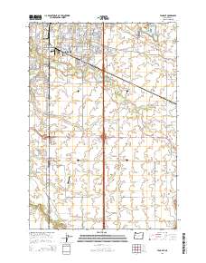
2014 Map of Tangent
USGS Topo · Published 2014About this map
The southern residential expansion of Albany and the agricultural lands surrounding Tangent dominate this landscape in the mid-2010s. The transition from urban streets to open fields is marked by significant institutions like Linn Benton Community Coll and local infrastructure such as Roppair Airport and Grells Airport. The map highlights a complex drainage system essential to the Willamette Valley’s geography, featuring the Calapooia River, Albany-Santiam Canal, and numerous wandering streams including Oak Creek, Periwinkle Cr, and Shedd Slough. Historically significant sites like Fairview Cem sit among the grid of rural roads and modern developments. The presence of Maddys Pond and various creek branches illustrates the water-rich nature of this Linn County region, where legacy drainage routes and modern transportation corridors like Old Highway 34 intersect.
Find a feature on this map
62 named features on this map. Tap any name to fly to it.
Don’t see what you’re looking for? This feature index may not catch every label — zoom into the map to look around manually.
Map Details
Editions of this 2014 Tangent Map
This is the sole edition of this map. No revisions or reprints were ever made.
Other maps of this area
1911 · Brownsville
USGS Topo · 1:31,680
1911 · Lebanon
USGS Topo · 1:31,680
1911 · Tangent
USGS Topo · 1:31,680
1912 · Jefferson
USGS Topo · 1:31,680
1912 · Halsey
USGS Topo · 1:62,500
1913 · Oakville
USGS Topo · 1:31,680
1913 · Wells
USGS Topo · 1:31,680
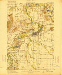
1916 · Albany
USGS Topo · 1:62,500
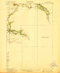
1921 · Brownsville
USGS Topo · 1:62,500
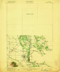
1921 · Lebanon
USGS Topo · 1:62,500