Old Maps of Scappoose, Oregon for Academic Research
Study the evolution of Scappoose with 45 high-resolution historic maps. Whether you're teaching, researching, or modeling changes in land use, these maps provide essential visual documentation of urban, environmental, and geographic change.
- Analyze long-term change: Track patterns in development, transportation, and natural features.
- Ideal for environmental or urban studies: Support academic projects with primary historical map data.
- Use in the classroom or lab: Educators and researchers rely on these maps to bring historical context to life.
These maps are a powerful tool for teaching, research, and visualizing how Scappoose has changed over the decades.
Scappoose, OR maps
(45)- 1915 Map of Hillsboro
 1915 Hillsboro1915 Print · USGSThe Tualatin Valley and the confluence of the Columbia and Willamette rivers are shown here at the peak of the electric rail era. Researchers can trace historic family schoolhouses like Mason Hill School and vanished landings such as Blurock Landing.
 - 1918 Map of Hillsboro
 1918 Hillsboro1918 Print · USGSThe Tualatin Valley and Columbia riverfront are seen here during the heyday of the electric interurban and steam rail era. Researchers can trace family sites at Mason Hill School, identify the river life of Sauvie Island, or locate vanished stops like Cornelius Pass.4 unique versions available
 - 1922 Map of St. Helens
 1922 St. Helens1922 Print · USGSThe Columbia River valley in the early twenties was a hub of logging and river commerce. Genealogists can trace family roots through old post offices like Yankton P.O. and Warren P.O. or locate historic industry at the Dupont Powder Co. site.
 - 1940 Map of Hillsboro
 1940 Hillsboro1940 Print · USGSThe Tualatin Valley and the Columbia River confluence meet in this 1940 survey of the Hillsboro and North Portland region. Researchers can trace early twentieth-century rail lines like the Oregon Electric or locate historic rural landmarks such as Mountain View Cemetery and the Mason Hill School.
 - 1941 Map of St Helens
 1941 St Helens1941 Print · USGSThe Columbia River waterfront near St. Helens was a thriving industrial and agricultural corridor just before the war. Trace old rail stops at Honeymoon Sta, rural schoolhouses like Shilo Basin Sch, and the shifting river islands from Deer Island to Bachelor Island.
 - 1943 Map of St Helens
 1943 St Helens1943 Print · USGSThe Columbia River corridor during the mid-forties shows a bustling network of riverfront towns and upland settlements. Researchers can trace historic river landings like Caples Landing alongside rural landmarks such as Yankton, Trenholm, and Shilo Basin Sch.
 - 1948 Map of Vancouver, 1957 Print
 1948 Vancouver1957 Print · USGSPost-war growth transforms the river valleys of the Pacific Northwest as the timber and rail economy thrives. Trace family roots in Tillamook or Oregon City, and locate vanished landmarks like the spit at Bayocean or the Skamania Mine.
 - 1950 Map of Vancouver
 1950 Vancouver1950 Print · USGSCoastal Oregon and the lower Columbia River valley are captured in detail just after the war. Researchers can trace historic rail routes like the Southern Pacific or locate early settlements such as Vernonia, Gaston, and the Grand Ronde Indian Reservation.
 - 1950 Map of Vancouver, 1951 Print
 1950 Vancouver1951 Print · USGSThe Pacific Northwest urban corridor meets the rugged coast in the years following the war, showing the expansion of Portland and Vancouver. Genealogists and historians can trace the reach of the Southern Pacific RR and locate coastal communities like Tillamook, Seaside, and Tolovana Park.
 - 1953 Map of Dixie Mountain, 1956 Print
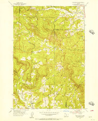 1953 Dixie Mountain1956 Print · USGSThe Tualatin Mountains in the early 1950s were a landscape of high ranches and small rural schools along the tri-county border. Genealogists and historians can trace family-named routes like Moreland Road to find Mountain View Cemetery or the site of Mason Hill Sch (Aban'd).
 - 1954 Map of Sauvie Island, 1956 Print
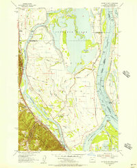 1954 Sauvie Island1956 Print · USGSSauvie Island and the Columbia River confluence are shown in detail during the mid-fifties, capturing a landscape of levees, sloughs, and river landings. Trace family roots and local history at Burlington, the Sauvie Island School, and the Spokane Portland and Seattle RR line.
 - 1954 Map of St. Helens, 1957 Print
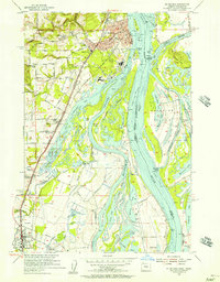 1954 St. Helens1957 Print · USGSThe Columbia River waterfront at St. Helens and Scappoose is shown in the mid-fifties, just as the regional transport network was maturing. Researchers can trace old property access via Robinette Road or locate vanished landmarks like the McBride Sch and Ridgefield Ferry.3 unique versions available
 - 1954 Map of St Helens, 1962 Print
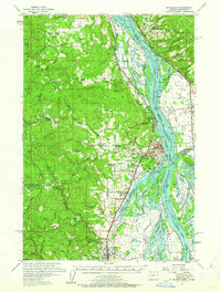 1954 St Helens1962 Print · USGSThe Columbia River waterfront and its surrounding timberlands are captured here in the mid-1950s. Genealogists and researchers can trace the locations of rural schools and landmarks like the Wilark Guard Station, Shiloh Basin Cemetery, and Bachelor Flat.2 unique versions available
 - 1958 Map of Vancouver, 1968 Print
 1958 Vancouver1968 Print · USGSThe Lower Columbia and Willamette valleys thrive in the late sixties as major rail and river hubs. Genealogists and historians can trace the development of Portland, identify the grounds of Camp Withycombe, and locate coastal landmarks from Tillamook Head to Garibaldi.3 unique versions available
 - 1961 Map of Dixie Mountain
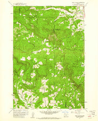 1961 Dixie Mountain1961 Print · USGSThe rural highlands where Columbia and Washington counties meet are captured here in the early sixties. Researchers can locate family landmarks like Dixie Ranch, the Saint Wenceslaus Cem, and the old Wallace Sch among the timbered ridges.4 unique versions available
 - 1961 Map of Sauvie Island, 1962 Print
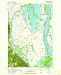 1961 Sauvie Island1962 Print · USGSAlong the Columbia River in the early sixties, the water-bound culture of the island is documented in high detail. Researchers can trace the Spokane Portland and Seattle RR through Holbrook and find local landmarks like Sauvie Island Ch.4 unique versions available
 - 1961 Map of Hillsboro, 1963 Print
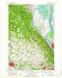 1961 Hillsboro1963 Print · USGSThe Tualatin Valley and Columbia River bottomlands appear in the early sixties as industrial expansion meets established farm country. Trace old rail lines and family history at Tualatin Plains Cem, North Plains, and the Meeks Land Claim Historical Marker.2 unique versions available
 - 1964 Map of Vancouver
 1964 Vancouver1964 Print · USGSThe Pacific Northwest interior and coast are shown here in the 1960s, from the Portland metropolitan hub to the rugged Pacific shoreline. Researchers can trace the legacy of the Grand Ronde Indian Reservation, the early layout of McMinnville, and the maritime approaches near Tillamook Head.
 - 1971 Map of Chapman, 1973 Print
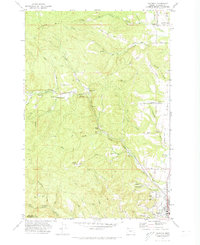 1971 Chapman1973 Print · USGSColumbia County’s timbered ridges and valley settlements are captured here in the early seventies, just as the region’s rural character was evolving. Genealogists and local historians can trace the foundations of Chapman, Spitzenberg, and Yankton, while locating family sites near Yankton Cem and the Grange Hall.2 unique versions available
 - 1979 Map of Vancouver, 1980 Print
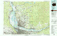 1979 Vancouver1980 Print · USGSThe Portland and Vancouver metropolitan area is captured here in the late seventies, showing the dense nexus of river, rail, and air transit. Genealogists and local historians can trace the footprints of Vancouver Barracks, Lincoln Memorial Park Cem, and the old rail lines of the Burlington Northern.2 unique versions available
 - 1990 Map of Sauvie Island, 1995 Print
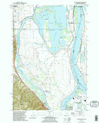 1990 Sauvie Island1995 Print · USGSSauvie Island and the Columbia River confluence appear here in the early 1990s, where river hydrology meets the Tualatin foothills. Trace the historical tracks of the Burlington Northern RR through Burlington and Holbrook, or explore the old river landings at Chapman Landing and Morgan Landing.
 - 1990 Map of Dixie Mountain, 1995 Print
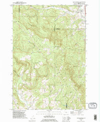 1990 Dixie Mountain1995 Print · USGSThe northern Tualatin Mountains near the turn of the millennium were a landscape of steep timbered ridges and pioneer-era roads. Researchers can find old family sites and burial grounds like Saint Wenceslaus Cemetery, Fairview Cem, and landmarks along Skyline Boulevard.
 - 1990 Map of Saint Helens, 1995 Print
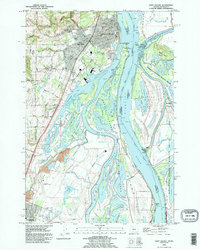 1990 Saint Helens1995 Print · USGSThe Columbia River corridor near the Oregon-Washington border is captured here during the mid-nineties, showing the evolving relationship between industry and wildlife preservation. Researchers can trace the Portland & Western RR through Warren or locate local landmarks like Warrior Rock and the Scappoose Industrial Airpark.
 - 1990 Map of Chapman, 1995 Print
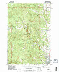 1990 Chapman1995 Print · USGSScappoose and the surrounding Columbia County hills are shown here in the 1990s, where small settlements met an active landscape of timber and stone. Genealogists and local historians can trace family-named roads and sites like Yankton, the Substation Church, and Bonnie Falls.
 - 2011 Map of Dixie Mountain, 2011 Print
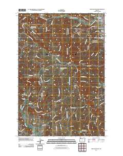 2011 Dixie Mountain2011 Print · USGSThe highlands west of the Willamette Valley are captured here in the early twenty-first century as the rural character of South Scappoose remains intact. Genealogists can locate family sites like Saint Wenceslaus Cemetery, Johnson Crossing, and Shadybrook Cemetery.
Showing maps 1-25 of 45
Top cities near Scappoose
- Portland historical maps
- Vancouver historical maps
- Hillsboro historical maps
- Beaverton historical maps
- Forest Grove historical maps
- Saint Helens historical maps
See more
Frequently asked questions
- What are the different types of historical maps available for Scappoose?
- What is the oldest map of Scappoose?
- Where can I purchase historical maps of Scappoose for my home or office?
- Where can I download high-res historical maps of Scappoose?
- Are there historical topographic maps available for Scappoose?
- Is there historical aerial imagery available for Scappoose?
- Where are historical maps of Scappoose sourced from?