Old Maps of Winchuck, Oregon for Metal Detecting
Plan your next treasure hunt with 12 historic maps of Winchuck. Find old homesites, ghost towns, trails, and gathering spots that may be lost to time — perfect for identifying promising metal detecting locations.
- Locate forgotten sites: Uncover places like long-lost settlements, abandoned rail lines, or gathering spots.
- Plan better hunts: Use map overlays combined with LiDAR or satellite views to narrow in on historically rich areas.
- Made for detectorists: Thousands of hobbyists use these maps to discover relics, coins, and hidden history.
Use these historic maps to boost your research and find new opportunities beneath the surface of Winchuck.
Winchuck, OR maps
(12)- 1954 Map of Coos Bay
 1954 Coos Bay1954 Print · USGSCoastal Oregon at mid-century shows a landscape of timber and tides, from the river ports to the edge of the Pacific. Researchers can trace family roots through coastal schools like Beachview School or follow the Southern Pacific RR through Reedsport and Coos Bay.
 - 1954 Map of Mt. Emily, 1956 Print
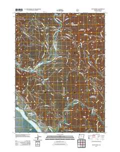
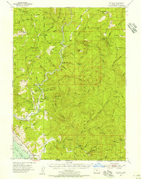 1954 Mt. Emily1956 Print · USGSThe Siskiyou forest and the Oregon-California borderlands are seen here in the mid-fifties, dominated by the wild Chetco River. Genealogists and historians can trace old homesteads like Tamba Ranch, the Upper Chetco Sch, and high ridges like Backbone Ridge.3 unique versions available
 - 1958 Map of Coos Bay, 1974 Print
 1958 Coos Bay1974 Print · USGSThe Southern Oregon coastline at mid-century reveals a bustling maritime and timber economy centered on Coos Bay and North Bend. Researchers can trace the legacy of coastal settlements from Bandon to Brookings, including rail lines of the Southern Pacific RR and the rugged reaches of the Siuslaw National Forest.
 - 1962 Map of Coos Bay
 1962 Coos Bay1962 Print · USGSThe Oregon coast at the end of the fifties reveals a landscape of timber ports and fishing villages connected by U.S. Highway 101. Researchers can trace the rail infrastructure of the Southern Pacific RR and locate early settlements from Florence down to Brookings.2 unique versions available
 - 1989 Map of Mt. Emily
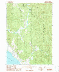 1989 Mt. Emily1989 Print · USGSThe Oregon coast and Siskiyou backcountry meet in the late eighties as the Chetco River winds toward the sea. Local historians can trace the geography of the Mt Emily Prospect Mine and the shoreline near the McVay settlement.
 - 1993 Map of Gold Beach
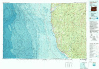 1993 Gold Beach1993 Print · USGSThe Oregon coast at the end of the twentieth century reveals a landscape of river-mouth settlements and deep wilderness. Trace the coastal developments of Gold Beach and Brookings or explore the interior peaks of the Kalmiopsis Wilderness.2 unique versions available
 - 1996 Map of Mount Emily, 1999 Print
 1996 Mount Emily1999 Print · USGSCoastal Curry County meets the deep forests of the Siskiyou range in the late nineties, documenting a landscape of river valleys and high ridges. Researchers can trace land use from the shoreline near Crissey Airport to interior sites like Tamba Ranch and the Prospect Mine.
 - 2011 Map of Mount Emily, 2011 Print
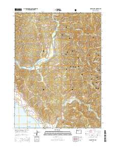
 2011 Mount Emily2011 Print · USGSCovers Winchuck, including Curry County, United States, and other nearby areas
 - 2014 Map of Mount Emily, 2014 Print
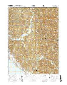
 2014 Mount Emily2014 Print · USGSCovers Winchuck, including Curry County, United States, and other nearby areas
 - 2017 Map of Mount Emily, 2017 Print
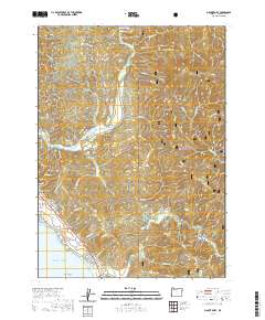
 2017 Mount Emily2017 Print · USGSCovers Winchuck, including Curry County, United States, and other nearby areas
 - 2020 Map of Mount Emily, 2020 Print
 2020 Mount Emily2020 Print · USGSCovers Winchuck, including Curry County, United States, and other nearby areas
 - 2024 Map of Mount Emily, 2024 Print
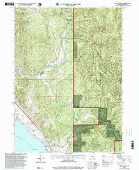
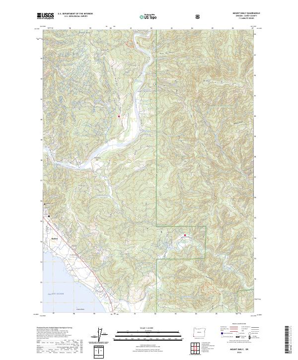 2024 Mount Emily2024 Print · USGSThe southern Oregon coast and the rugged Siskiyou interior meet at the mouth of the Chetco River in this modern survey. Genealogists and hikers can trace sites like Pioneer Cemetery and the Oregon Redwoods Hiking Trail near the community of Harbor.
End of results
Showing maps 1-12 of 12
Top cities near Winchuck
Frequently asked questions
- What are the different types of historical maps available for Winchuck?
- What is the oldest map of Winchuck?
- Where can I purchase historical maps of Winchuck for my home or office?
- Where can I download high-res historical maps of Winchuck?
- Are there historical topographic maps available for Winchuck?
- Is there historical aerial imagery available for Winchuck?
- Where are historical maps of Winchuck sourced from?