Old Maps of Fair Oaks, Oregon for Academic Research
Study the evolution of Fair Oaks with 12 high-resolution historic maps. Whether you're teaching, researching, or modeling changes in land use, these maps provide essential visual documentation of urban, environmental, and geographic change.
- Analyze long-term change: Track patterns in development, transportation, and natural features.
- Ideal for environmental or urban studies: Support academic projects with primary historical map data.
- Use in the classroom or lab: Educators and researchers rely on these maps to bring historical context to life.
These maps are a powerful tool for teaching, research, and visualizing how Fair Oaks has changed over the decades.
Fair Oaks, OR maps
(12)- 1897 Map of Roseburg
 1897 Roseburg1897 Print · USGSDouglas County settlements flourished along the river bends and rail lines during the 1890s. Genealogists and historians can trace early homesteads and towns like Oakland, Roseburg, and Myrtle Creek, alongside landmarks such as Camas Swale.
 - 1900 Map of Roseburg
 1900 Roseburg1900 Print · USGSDouglas County at the turn of the century shows a landscape transitioning through the arrival of the Southern Pacific railroad. Genealogists and local historians can trace early river crossings like Lone Rock Ferry and explore the layouts of Oakland, Winchester, and Myrtle Creek.5 unique versions available
 - 1954 Map of Glide, 1957 Print
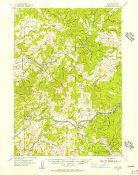 1954 Glide1957 Print · USGSDouglas County’s timber and river country is captured in the mid-1950s, showing the early infrastructure of the North Umpqua valley. Researchers can trace the Private Logging Railroad, the Rock Creek Fish Hatchery, and rural centers like English Settlement and Glide.3 unique versions available
 - 1958 Map of Roseburg, 1960 Print
 1958 Roseburg1960 Print · USGSThe timber valleys and high volcanic peaks of Southern Oregon are captured here in the late fifties. Researchers can trace the Southern Pacific rail line through historic settlements like Cottage Grove, Yoncalla, and Oakridge near the Cascade Range crest.4 unique versions available
 - 1959 Map of Roseburg
 1959 Roseburg1959 Print · USGSThe Umpqua and Willamette valleys meet the high Cascades in this late-fifties study of Southern Oregon's timber and rail corridors. Genealogists and researchers can trace the Southern Pacific RR through historic towns like Roseburg, Yoncalla, and Cottage Grove.
 - 1979 Map of Roseburg
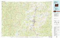 1979 Roseburg1979 Print · USGSThe Umpqua River valley and the foothills of the Coast Range are captured here during a period of active timber and mineral production in the late seventies. Researchers can trace the paths of the Southern Pacific and the Bonanza Mine alongside small settlements like Coles Valley and Nonpareil.
 - 1987 Map of Nonpareil
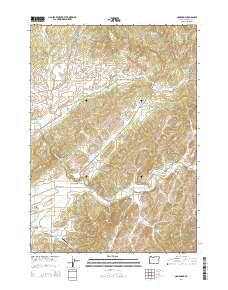
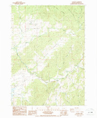 1987 Nonpareil1987 Print · USGSDouglas County in the late eighties reveals a landscape of high ridges and deep mining history between Fair Oaks and the English Settlement. Researchers can trace the legacy of the Nonpareil Mine and Bonanza Mine, or locate the path of the Old RR Grade.
 - 2011 Map of Nonpareil, 2011 Print
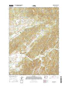
 2011 Nonpareil2011 Print · USGSCovers Fair Oaks, including Douglas County, United States, and other nearby areas
 - 2014 Map of Nonpareil, 2014 Print
 2014 Nonpareil2014 Print · USGSCovers Fair Oaks, including Douglas County, United States, and other nearby areas
 - 2017 Map of Nonpareil, 2017 Print
 2017 Nonpareil2017 Print · USGSCovers Fair Oaks, including Douglas County, United States, and other nearby areas
 - 2020 Map of Nonpareil, 2020 Print
 2020 Nonpareil2020 Print · USGSCovers Fair Oaks, including Douglas County, United States, and other nearby areas
 - 2023 Map of Nonpareil, 2023 Print
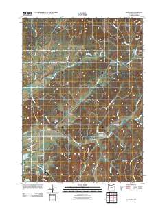
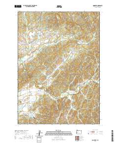
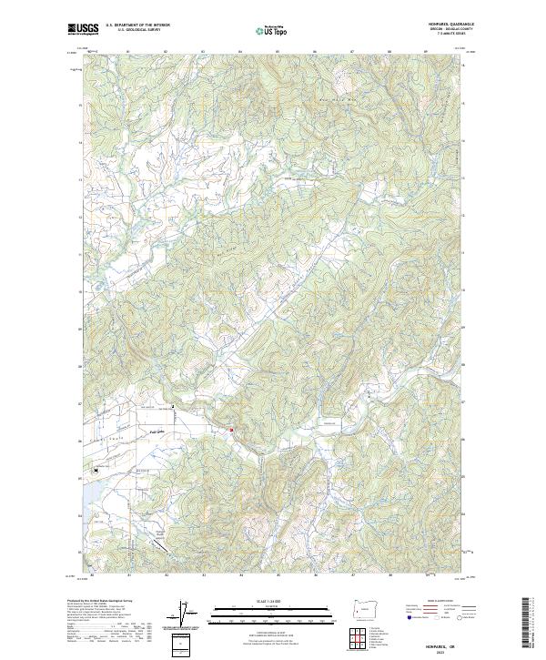 2023 Nonpareil2023 Print · USGSDouglas County’s timber and mining country comes into focus in this recent survey of the Calapooya Creek watershed. You can trace early land divisions and family history near Fair Oaks, including the Bonanza Mine and the grounds of Fair-Oaks Cem.
End of results
Showing maps 1-12 of 12
Top cities near Fair Oaks
Frequently asked questions
- What are the different types of historical maps available for Fair Oaks?
- What is the oldest map of Fair Oaks?
- Where can I purchase historical maps of Fair Oaks for my home or office?
- Where can I download high-res historical maps of Fair Oaks?
- Are there historical topographic maps available for Fair Oaks?
- Is there historical aerial imagery available for Fair Oaks?
- Where are historical maps of Fair Oaks sourced from?