Old Maps of Lake front cabins, Oregon for Academic Research
Study the evolution of Lake front cabins with 12 high-resolution historic maps. Whether you're teaching, researching, or modeling changes in land use, these maps provide essential visual documentation of urban, environmental, and geographic change.
- Analyze long-term change: Track patterns in development, transportation, and natural features.
- Ideal for environmental or urban studies: Support academic projects with primary historical map data.
- Use in the classroom or lab: Educators and researchers rely on these maps to bring historical context to life.
These maps are a powerful tool for teaching, research, and visualizing how Lake front cabins has changed over the decades.
Lake front cabins, OR maps
(12)- 1917 Map of Diamond Lake
 1917 Diamond Lake1917 Print · USGSThe high Cascades of Douglas and Klamath Counties are captured here just before the First World War. Local historians and hikers can trace early forest service outposts like Higdon Ranger Sta and remote routes including the Ft Klamath Road and Bradley Trail.3 unique versions available
 - 1956 Map of Summit Lake, 1958 Print
 1956 Summit Lake1958 Print · USGSThe Oregon Cascades during the mid-fifties reveal a landscape of expanding mountain access and hydraulic engineering. You can trace early forest camps like Emigrant Forest Camp and the construction of the Umpqua Canal near the high waters of Summit Lake.3 unique versions available
 - 1958 Map of Roseburg, 1960 Print
 1958 Roseburg1960 Print · USGSThe timber valleys and high volcanic peaks of Southern Oregon are captured here in the late fifties. Researchers can trace the Southern Pacific rail line through historic settlements like Cottage Grove, Yoncalla, and Oakridge near the Cascade Range crest.4 unique versions available
 - 1959 Map of Roseburg
 1959 Roseburg1959 Print · USGSThe Umpqua and Willamette valleys meet the high Cascades in this late-fifties study of Southern Oregon's timber and rail corridors. Genealogists and researchers can trace the Southern Pacific RR through historic towns like Roseburg, Yoncalla, and Cottage Grove.
 - 1978 Map of Diamond Lake, 1994 Print
 1978 Diamond Lake1994 Print · USGSThe Cascades of the late 1970s are seen here at a point of high-mountain industry and recreation across the Umpqua and Willamette forests. Researchers can trace the development of timber and water resources around Toketee Falls, Umpqua Mine, and Steamboat.2 unique versions available
 - 1986 Map of Lemolo Lake
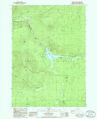 1986 Lemolo Lake1986 Print · USGSThe High Cascades in Douglas County come alive in the mid-1980s, showcasing a landscape of hydroelectric power and mountain recreation. Trace the engineering of Canal No 1 near Lemolo Falls or locate campsites like East Lemolo Campground and Thielsen Campground.
 - 1998 Map of Lemolo Lake, 2000 Print
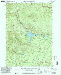 1998 Lemolo Lake2000 Print · USGSThe high Umpqua wilderness is seen here in the late 1990s as a landscape defined by hydroelectric power and forest recreation. Researchers can trace the path of Canal No 1 to the Lemolo Power Plant No 1 or locate remote camps like Thielsen Campground and Toolbox Meadows.
 - 2011 Map of Lemolo Lake, 2011 Print
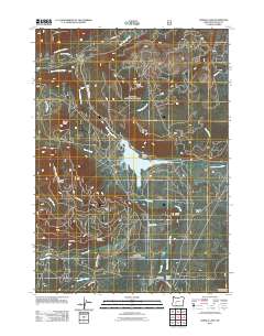 2011 Lemolo Lake2011 Print · USGSThe High Cascades come into focus in the early 2000s, showing the intersection of hydroelectric power and backcountry recreation. Trace the routes to Lemolo Lake Resort or explore the geography of Pumice Flat, Toolbox Meadows, and Kelsay Valley.
 - 2014 Map of Lemolo Lake, 2014 Print
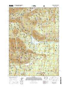 2014 Lemolo Lake2014 Print · USGSThe High Cascades of Douglas County are defined by hydroelectric engineering and volcanic peaks in the years following the millennium. Researchers can trace the water management system from Lemolo Lake through the Lemolo Canal Number 1 and find landmarks like Dread and Terror Ridge.
 - 2017 Map of Lemolo Lake, 2017 Print
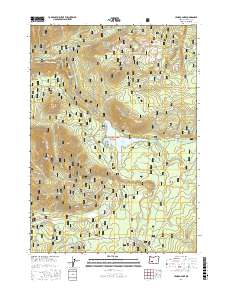 2017 Lemolo Lake2017 Print · USGSDouglas County’s high Cascades come into focus in the years before the recent wildfires, showing the complex hydroelectric and timber infrastructure of the Umpqua National Forest. You can trace the path of the Lemolo Canal Number 1 or find remote landmarks like Lemolo Falls and Kelsay Valley.
 - 2020 Map of Lemolo Lake, 2020 Print
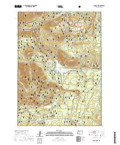 2020 Lemolo Lake2020 Print · USGSDouglas County’s high Cascades are documented here in the modern era, centered on the waters of the Umpqua National Forest. You can trace the path of the Lemolo Canal Number 1 or locate points like Mowich Park and Lemolo Falls.
 - 2024 Map of Lemolo Lake, 2024 Print
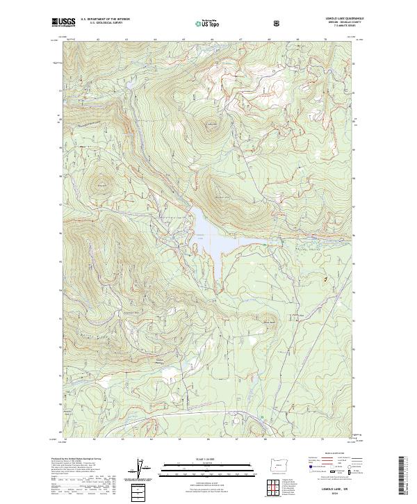 2024 Lemolo Lake2024 Print · USGSDouglas County high country comes into focus in this recent survey of the North Umpqua headwaters. Trace contemporary forest routes and winter trails through Kelsey Valley to landmarks like Elephant Mtn and the waters of Lemolo Lake.
End of results
Showing maps 1-12 of 12
Frequently asked questions
- What are the different types of historical maps available for Lake front cabins?
- What is the oldest map of Lake front cabins?
- Where can I purchase historical maps of Lake front cabins for my home or office?
- Where can I download high-res historical maps of Lake front cabins?
- Are there historical topographic maps available for Lake front cabins?
- Is there historical aerial imagery available for Lake front cabins?
- Where are historical maps of Lake front cabins sourced from?