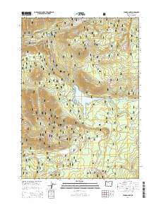
2014 Map of Lemolo Lake
USGS Topo · Published 2014About this map
Lemolo Lake serves as the central hub of this mountain landscape within the Umpqua National Forest, where the hydrology of the N Umpqua River is managed for power generation. The map documents the industrial infrastructure supporting the region, including the Lemolo Canal Number 1, the Lemolo 1 Penstock, and the Lemolo Plant Rd. This specialized network of canals and pipelines redirects water across high-elevation terrain to harness the steep drops of the Cascades, most notably near the dramatic Lemolo Falls.
Find a feature on this map
55 named features on this map. Tap any name to fly to it.
Don’t see what you’re looking for? This feature index may not catch every label — zoom into the map to look around manually.
Map Details
Editions of this 2014 Lemolo Lake Map
This is the sole edition of this map. No revisions or reprints were ever made.
Other maps of this area

1917 · Diamond Lake
USGS Topo · 1:125,000

1956 · Toketee Falls
USGS Topo · 1:62,500

1956 · Diamond Lake
USGS Topo · 1:62,500

1956 · Summit Lake
USGS Topo · 1:62,500

1956 · Garwood Butte
USGS Topo · 1:62,500

1958 · Roseburg
USGS Topo · 1:250,000

1959 · Roseburg
USGS Topo · 1:250,000

1978 · Diamond Lake
USGS Topo · 1:100,000
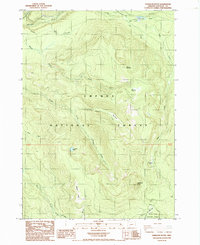
1985 · Garwood Butte
USGS Topo · 1:24,000
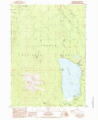
1985 · Diamond Lake
USGS Topo · 1:24,000