Old Maps of Roseburg, Oregon for Genealogy
Trace your family roots with 25 historic maps of Roseburg. These high-res maps reveal old neighborhoods, homesites, landmarks, and streets — helping you uncover where your ancestors lived and how the area evolved over time.
- Explore historic neighborhoods: Identify where your relatives may have lived in the 1800s or 1900s.
- Compare maps over time: Trace the changes in streets, buildings, and landmarks for multi-generational research.
- Perfect for genealogy & ancestry research: Used by family historians and researchers to map out lineage and migration.
These maps are an incredible resource for exploring your personal connection to Roseburg's past.
Roseburg, OR maps
(25)- 1897 Map of Roseburg
 1897 Roseburg1897 Print · USGSDouglas County settlements flourished along the river bends and rail lines during the 1890s. Genealogists and historians can trace early homesteads and towns like Oakland, Roseburg, and Myrtle Creek, alongside landmarks such as Camas Swale.
 - 1900 Map of Roseburg
 1900 Roseburg1900 Print · USGSDouglas County at the turn of the century shows a landscape transitioning through the arrival of the Southern Pacific railroad. Genealogists and local historians can trace early river crossings like Lone Rock Ferry and explore the layouts of Oakland, Winchester, and Myrtle Creek.5 unique versions available
 - 1954 Map of Sutherlin, 1956 Print
 1954 Sutherlin1956 Print · USGSDouglas County in the mid-1950s shows a region defined by the meeting of the North and South Umpqua Rivers and a growing timber economy. Researchers can locate vanished landmarks and family sites like Eden Ch, the Camas Logging RR, and the community of Stephens.3 unique versions available
 - 1955 Map of Roseburg, 1957 Print
 1955 Roseburg1957 Print · USGSMid-century Douglas County comes to life through this record of the river valleys south of Roseburg. Genealogists and historians can trace family locations near Melrose Cem, identify old school sites like Green School, or locate the Sawmill and Southern Pacific rail stops that drove the local timber economy.4 unique versions available
 - 1958 Map of Roseburg, 1960 Print
 1958 Roseburg1960 Print · USGSThe timber valleys and high volcanic peaks of Southern Oregon are captured here in the late fifties. Researchers can trace the Southern Pacific rail line through historic settlements like Cottage Grove, Yoncalla, and Oakridge near the Cascade Range crest.4 unique versions available
 - 1959 Map of Roseburg
 1959 Roseburg1959 Print · USGSThe Umpqua and Willamette valleys meet the high Cascades in this late-fifties study of Southern Oregon's timber and rail corridors. Genealogists and researchers can trace the Southern Pacific RR through historic towns like Roseburg, Yoncalla, and Cottage Grove.
 - 1979 Map of Roseburg
 1979 Roseburg1979 Print · USGSThe Umpqua River valley and the foothills of the Coast Range are captured here during a period of active timber and mineral production in the late seventies. Researchers can trace the paths of the Southern Pacific and the Bonanza Mine alongside small settlements like Coles Valley and Nonpareil.
 - 1987 Map of Roseburg East
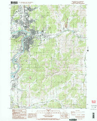 1987 Roseburg East1987 Print · USGSDouglas County in the late eighties shows a period of significant growth where the South Fork Umpqua River meets the timber and transit corridors of western Oregon. Researchers can trace the development of Roseburg alongside outlying locales like Green and Glengary.2 unique versions available
 - 1987 Map of Roseburg West
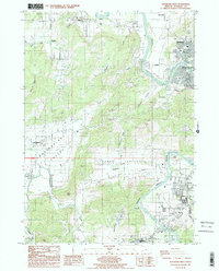 1987 Roseburg West1987 Print · USGSThe South Umpqua River valley comes alive in the late 1980s as Roseburg and Winston expand along its banks. Researchers can trace rural lineages through the Cem, the homesteads of Lookingglass Valley, and landmarks like Indian Nose.
 - 1987 Map of Winchester
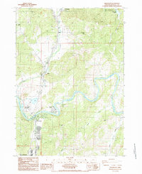 1987 Winchester1987 Print · USGSDouglas County settlements along the North Umpoua River appear here in the late eighties during a period of local expansion. Researchers can trace the development of Winchester and Wilbur or locate landmarks like Umpqua Community College and Deady Caves.
 - 2011 Map of Roseburg East, 2011 Print
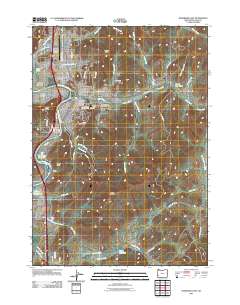 2011 Roseburg East2011 Print · USGSRoseburg and the South Umpqua River valley are shown here in the early twenty-first century as the region balanced its timber heritage with modern growth. Researchers can locate several historic burial grounds like the Roseburg Masonic Cemetery or trace the timber-era Umpqua Log Pond.
 - 2011 Map of Winchester, 2011 Print
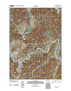 2011 Winchester2011 Print · USGSNorth Douglas County comes into focus in this 2011 survey, centered on the river-bend industry of Winchester and the hilltop cemeteries near Wilbur. Researchers can trace local lineage at Otey Cemetery or locate the Mar-Linn Timber Corporation Log Pond along the North Umpqua River.
 - 2011 Map of Roseburg West, 2011 Print
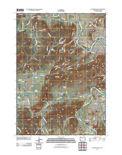 2011 Roseburg West2011 Print · USGSThe outskirts of Roseburg and the Umpqua riverfront come into focus in this early twenty-first-century survey. Genealogists and local historians can trace family landmarks like the Jones Family Cemetery or Napier Ranch and explore rural hubs like Melrose and Lookingglass.
 - 2014 Map of Roseburg West, 2014 Print
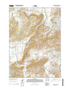 2014 Roseburg West2014 Print · USGSRoseburg and Winston appear during a period of modern growth along the South Umpqua River in the early 21st century. Genealogists and local historians can trace the Melrose Cem, family landmarks like the Jones Family Cem, and the historic Melrose Bridge.
 - 2014 Map of Winchester, 2014 Print
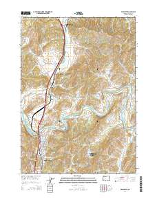 2014 Winchester2014 Print · USGSDouglas County’s river-carved valleys are documented here during a period of modern growth and educational expansion. Genealogists and researchers can pinpoint historical burial grounds like Otley Cem and landmarks such as Umpqua Community College.
 - 2014 Map of Roseburg East, 2014 Print
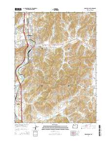 2014 Roseburg East2014 Print · USGSRoseburg and the South Umpqua River valley are captured in detail during a period of modern growth and industrial activity. Researchers can trace local heritage through the Roseburg IOOF Cem, follow the Central Oregon & Pacific RR, or locate the Sun Studs Log Pond near the river.
 - 2017 Map of Winchester, 2017 Print
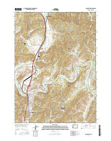 2017 Winchester2017 Print · USGSThe North Umpqua River corridor in Douglas County is captured here during a period of modern growth and historical preservation. Local researchers can trace the landscape from Wilbur to the Umpqua Community College campus, noting features like Otey Cem and the Mar-Linn Log Pond.
 - 2017 Map of Roseburg East, 2017 Print
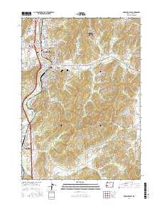 2017 Roseburg East2017 Print · USGSRoseburg and its neighboring communities are documented here during a period of modern expansion along the South Umpqua River. Researchers can locate several key historical burial sites including the Roseburg Masonic Cem and Roseburg IOOF Cem, or trace industrial landmarks like the Iverson Log Ponds and Melton Reservoir.
 - 2017 Map of Roseburg West, 2017 Print
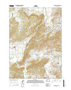 2017 Roseburg West2017 Print · USGSWest of Roseburg in the mid-2010s, the South Umpqua River valley shows a landscape of small settlements and timber-related industry. Genealogists and researchers can trace family lands near Melrose Cem, the historic Coos Bay Wagon Rd, and Lookingglass.
 - 2020 Map of Winchester, 2020 Print
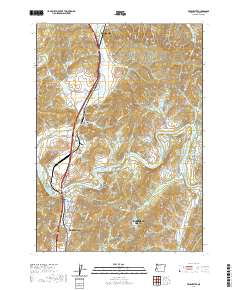 2020 Winchester2020 Print · USGSThe Douglas County corridor between Sutherlin and Roseburg comes into sharp focus during this period of the twenty-first century. Genealogists and local historians can trace property locations and landmarks near Wilbur Cem, Winchester Reservoir, and the Umpqua Community College campus.
 - 2020 Map of Roseburg East, 2020 Print
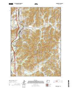 2020 Roseburg East2020 Print · USGSRoseburg at the turn of the decade is shown in high detail where the South Umpqua River meets the valley's industrial corridors. Trace family history and regional development at the Roseburg National Cemetery, Oaks, and the Douglas County Courthouse.
 - 2020 Map of Roseburg West, 2020 Print
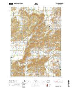 2020 Roseburg West2020 Print · USGSThe banks of the South Umpqua River and its western valleys appear here in a recent detailed survey of the Douglas County landscape. Genealogists and local researchers can locate the Jones Family Cem, identify crossings at Melrose Bridge, and trace the boundaries of Lookingglass.
 - 2023 Map of Roseburg West, 2023 Print
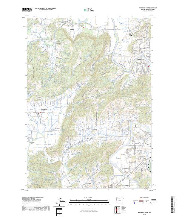 2023 Roseburg West2023 Print · USGSWest of the South Umpqua River, this Douglas County landscape transitions from the urban edges of Roseburg into the hills of the Oregon Coast Range. Genealogists and local historians can trace family sites like Jones Family Cem and small rural hubs including Melrose and Lookingglass.
 - 2023 Map of Winchester, 2023 Print
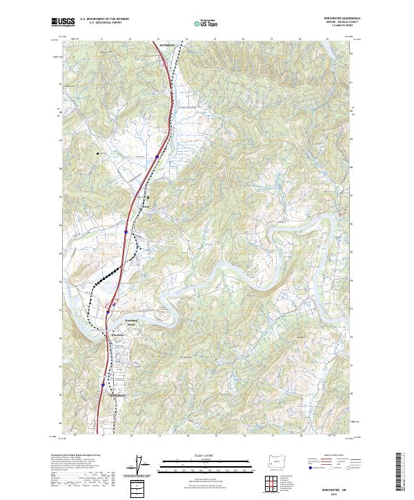 2023 Winchester2023 Print · USGSDouglas County's river-driven development is on full display in this recent look at the corridor between Sutherlin and Roseburg. Family historians can locate the Otey Cem and Wilbur Cem or trace the winding North Umpqua River.
 - 2024 Map of Roseburg East, 2024 Print
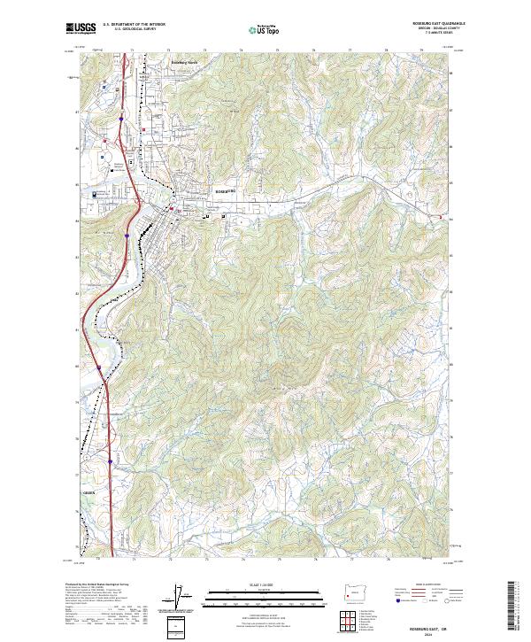 2024 Roseburg East2024 Print · USGSRoseburg and its neighboring communities are shown at the height of their modern development, centered on the river and the timber industry. Researchers can trace family history through the Roseburg National Cemetery or locate old industrial sites like Sun Studs Log Pond.
End of results
Showing maps 1-25 of 25
Top cities near Roseburg
Frequently asked questions
- What are the different types of historical maps available for Roseburg?
- What is the oldest map of Roseburg?
- Where can I purchase historical maps of Roseburg for my home or office?
- Where can I download high-res historical maps of Roseburg?
- Are there historical topographic maps available for Roseburg?
- Is there historical aerial imagery available for Roseburg?
- Where are historical maps of Roseburg sourced from?