2020s Maps of Eugene, Oregon
Explore 7 historic maps of Eugene from the 2020s. These maps offer a rare glimpse into what life looked like during the 2020s — showing old roads, neighborhoods, homes, and landmarks that have changed or disappeared over time.
Whether you're researching your family's past, planning a metal detecting trip, or studying how Eugene's landscape evolved across the 2020s, these high-resolution maps are a powerful tool for exploring the history of this region.
- Focus on a specific era: All maps on this page are from the 2020s, giving you a focused view of this time period.
- See what’s changed: Compare century-old streets, trails, and buildings to today's modern landscape using overlays and satellite layers.
- Research with precision: Use these maps for genealogy, historical research, land use analysis, or educational projects.
- View, download, or print: Maps are fully viewable online in high resolution, and can be downloaded or printed for your own records.
Start exploring Eugene's history through authentic maps from the 2020s. This is your window into the past.
Eugene, OR maps
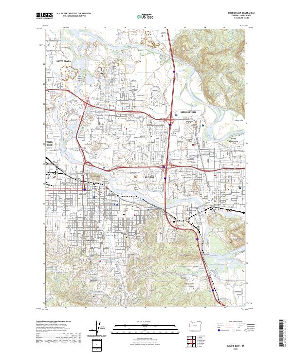
(7)- 2020 Map of Eugene East, 2020 Print
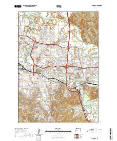 2020 Eugene East2020 Print · USGSCovers Eugene, including Springfield, Lane County, and other nearby areas
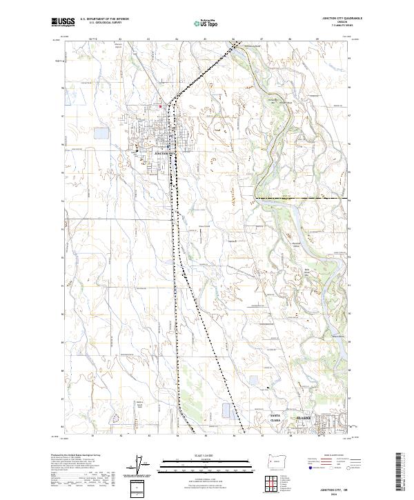
 - 2020 Map of Junction City, 2020 Print
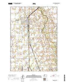 2020 Junction City2020 Print · USGSCovers Eugene, including Junction City, Lancaster, and other nearby areas
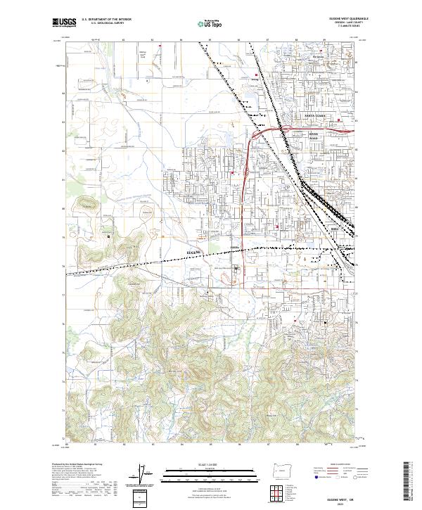
 - 2020 Map of Eugene West, 2020 Print
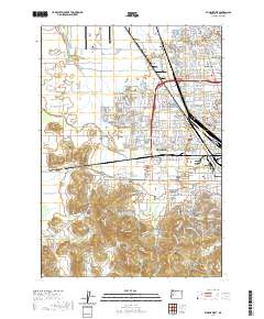 2020 Eugene West2020 Print · USGSCovers Eugene, including Malabon, Lane County, and other nearby areas
 - 2023 Map of Creswell, 2023 Print
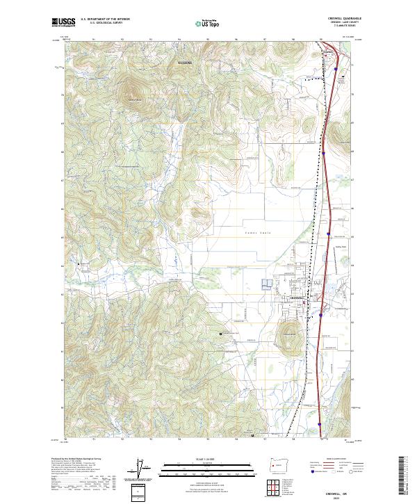 2023 Creswell2023 Print · USGSCreswell and the southern Eugene area are captured in this recent survey, showcasing the valley floor where the Coast Fork Willamette River meets the Cascades foothills. Researchers can trace ancestral connections at the Creswell Pioneer Cem or examine the historic waterworks of the Tunnel Millrace.
 - 2023 Map of Eugene West, 2023 Print
 2023 Eugene West2023 Print · USGSThe western outskirts of Eugene and Santa Clara are captured here in the early twenty-first century. Genealogists can locate family sites at Oak Hill Cem or Mulkey Cem, while tracing the area's growth around Mahlon Sweet Field.
 - 2023 Map of Eugene East, 2023 Print
 2023 Eugene East2023 Print · USGSThe Willamette Valley comes into sharp focus in this modern survey of the river's forks and growing urban centers. Researchers can trace the layout of the University of Oregon, find family names at the Eugene Pioneer Cem, and locate landmarks like Skinner Butte.
 - 2024 Map of Junction City, 2024 Print
 2024 Junction City2024 Print · USGSIn the Willamette Valley during the mid-2020s, the landscape around Junction City reflects a mix of deep-rooted agriculture and modern aviation. Genealogists can locate family sites like Luper Cem while tracing the river's path through Horseshoe Bar and Marshall Island.
End of results
Showing maps 1-7 of 7
Top cities near Eugene
- Springfield historical maps
- Junction City historical maps
- Creswell historical maps
- Veneta historical maps
- Harrisburg historical maps
- Coburg historical maps
See more
Top neighborhoods of Eugene
- Danebo historical maps
- College Hill historical maps
- Santa Clara historical maps
- Bethel historical maps
- North Country Townhouses historical maps
- Chase Commons Safe Sleep Site historical maps
See more
Frequently asked questions
- What are the different types of historical maps available for Eugene?
- What is the oldest map of Eugene?
- Where can I purchase historical maps of Eugene for my home or office?
- Where can I download high-res historical maps of Eugene?
- Are there historical topographic maps available for Eugene?
- Is there historical aerial imagery available for Eugene?
- Where are historical maps of Eugene sourced from?