Old Maps of Wolf Creek, Oregon for Metal Detecting
Plan your next treasure hunt with 11 historic maps of Wolf Creek. Find old homesites, ghost towns, trails, and gathering spots that may be lost to time — perfect for identifying promising metal detecting locations.
- Locate forgotten sites: Uncover places like long-lost settlements, abandoned rail lines, or gathering spots.
- Plan better hunts: Use map overlays combined with LiDAR or satellite views to narrow in on historically rich areas.
- Made for detectorists: Thousands of hobbyists use these maps to discover relics, coins, and hidden history.
Use these historic maps to boost your research and find new opportunities beneath the surface of Wolf Creek.
Wolf Creek, OR maps
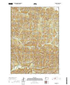
(11)- 1942 Map of Crow, 1960 Print
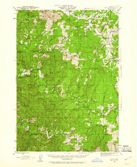 1942 Crow1960 Print · USGSLane and Douglas counties appear here during the early war years, showing a landscape shaped by timber management and remote ranching. Genealogists can locate family landmarks like Gillespie Corners, Hadleyville Sch, and the South Fork Guard Sta.2 unique versions available
 - 1945 Map of Crow
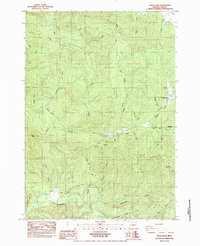
 1945 Crow1945 Print · USGSThe rural borderlands of Lane and Douglas Counties appear here at the height of the mid-century timber era. Genealogists and historians can trace family-named landmarks and remote outposts such as Gillespie Corners, Hadleyville Sch, and the Wolf Creek Store.
 - 1958 Map of Roseburg, 1960 Print
 1958 Roseburg1960 Print · USGSThe timber valleys and high volcanic peaks of Southern Oregon are captured here in the late fifties. Researchers can trace the Southern Pacific rail line through historic settlements like Cottage Grove, Yoncalla, and Oakridge near the Cascade Range crest.4 unique versions available
 - 1959 Map of Roseburg
 1959 Roseburg1959 Print · USGSThe Umpqua and Willamette valleys meet the high Cascades in this late-fifties study of Southern Oregon's timber and rail corridors. Genealogists and researchers can trace the Southern Pacific RR through historic towns like Roseburg, Yoncalla, and Cottage Grove.
 - 1979 Map of Cottage Grove
 1979 Cottage Grove1979 Print · USGSThe Oregon timber and rail corridors of the late seventies are documented here, centered on the Coast Fork Willamette River and the growing hub of Cottage Grove. Researchers can trace the path of the Southern Pacific railroad as it connects small stations like Divide, Saginaw, and Yoncalla.2 unique versions available
 - 1984 Map of High Point
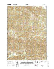
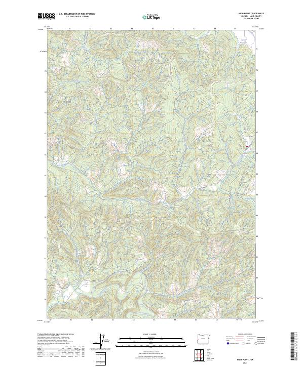
 1984 High Point1984 Print · USGSLane County in the mid-1980s shows a landscape of timber management and river valleys deep in the Siuslaw National Forest. Researchers can trace old logging routes like the Mainline or locate settlements at Alma and Wolf Creek.
 - 2011 Map of High Point, 2011 Print
 2011 High Point2011 Print · USGSCovers Wolf Creek, including Alma, Lane County, and other nearby areas
 - 2014 Map of High Point, 2014 Print
 2014 High Point2014 Print · USGSCovers Wolf Creek, including Alma, Lane County, and other nearby areas
 - 2017 Map of High Point, 2017 Print
 2017 High Point2017 Print · USGSCovers Wolf Creek, including Alma, Lane County, and other nearby areas
 - 2020 Map of High Point, 2020 Print
 2020 High Point2020 Print · USGSCovers Wolf Creek, including Alma, Lane County, and other nearby areas
 - 2023 Map of High Point, 2023 Print
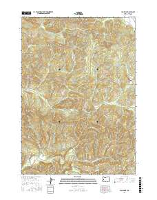
 2023 High Point2023 Print · USGSModern Lane County timberlands are shown in this 2023 survey as they appear today, centered on the historic settlement of Alma. Researchers can trace forest management routes and geographic landmarks like Timber Ridge, Letsom Mtn, and the headwaters of the Siuslaw River.
End of results
Showing maps 1-11 of 11
Top cities near Wolf Creek
- Eugene historical maps
- Junction City historical maps
- Veneta historical maps
- Elmira historical maps
- Malabon historical maps
Frequently asked questions
- What are the different types of historical maps available for Wolf Creek?
- What is the oldest map of Wolf Creek?
- Where can I purchase historical maps of Wolf Creek for my home or office?
- Where can I download high-res historical maps of Wolf Creek?
- Are there historical topographic maps available for Wolf Creek?
- Is there historical aerial imagery available for Wolf Creek?
- Where are historical maps of Wolf Creek sourced from?