2000s (21st Century) Maps of Hermiston, Oregon
Explore 10 historic maps of Hermiston from the 2000s (21st Century). These maps offer a rare glimpse into what life looked like during the 2000s — showing old roads, neighborhoods, homes, and landmarks that have changed or disappeared over time.
Whether you're researching your family's past, planning a metal detecting trip, or studying how Hermiston's landscape evolved across the 2000s, these high-resolution maps are a powerful tool for exploring the history of this region.
- Focus on a specific era: All maps on this page are from the 2000s, giving you a focused view of this time period.
- See what’s changed: Compare century-old streets, trails, and buildings to today's modern landscape using overlays and satellite layers.
- Research with precision: Use these maps for genealogy, historical research, land use analysis, or educational projects.
- View, download, or print: Maps are fully viewable online in high resolution, and can be downloaded or printed for your own records.
Start exploring Hermiston's history through authentic maps from the 2000s. This is your window into the past.
Hermiston, OR maps
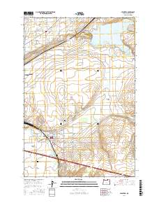
(10)- 2011 Map of Hermiston, 2011 Print
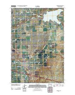
 2011 Hermiston2011 Print · USGSCovers Hermiston, including Bucks Corners, Umatilla County, and other nearby areas
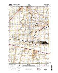
 - 2011 Map of Stanfield, 2011 Print
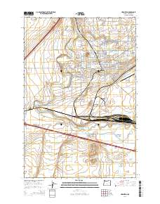
 2011 Stanfield2011 Print · USGSCovers Hermiston, including Stanfield, Umatilla County, and other nearby areas
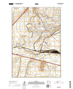
 - 2014 Map of Hermiston, 2014 Print
 2014 Hermiston2014 Print · USGSCovers Hermiston, including Bucks Corners, Umatilla County, and other nearby areas
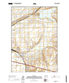
 - 2014 Map of Stanfield, 2014 Print
 2014 Stanfield2014 Print · USGSCovers Hermiston, including Stanfield, Umatilla County, and other nearby areas
 - 2017 Map of Stanfield, 2017 Print
 2017 Stanfield2017 Print · USGSCovers Hermiston, including Stanfield, Umatilla County, and other nearby areas
 - 2017 Map of Hermiston, 2017 Print
 2017 Hermiston2017 Print · USGSCovers Hermiston, including Bucks Corners, Umatilla County, and other nearby areas
 - 2020 Map of Hermiston, 2020 Print
 2020 Hermiston2020 Print · USGSCovers Hermiston, including Bucks Corners, Umatilla County, and other nearby areas
 - 2020 Map of Stanfield, 2020 Print
 2020 Stanfield2020 Print · USGSCovers Hermiston, including Stanfield, Umatilla County, and other nearby areas
 - 2023 Map of Stanfield, 2023 Print
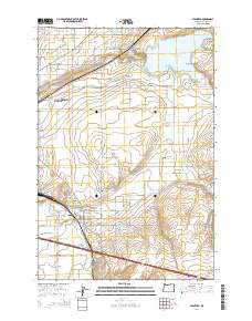
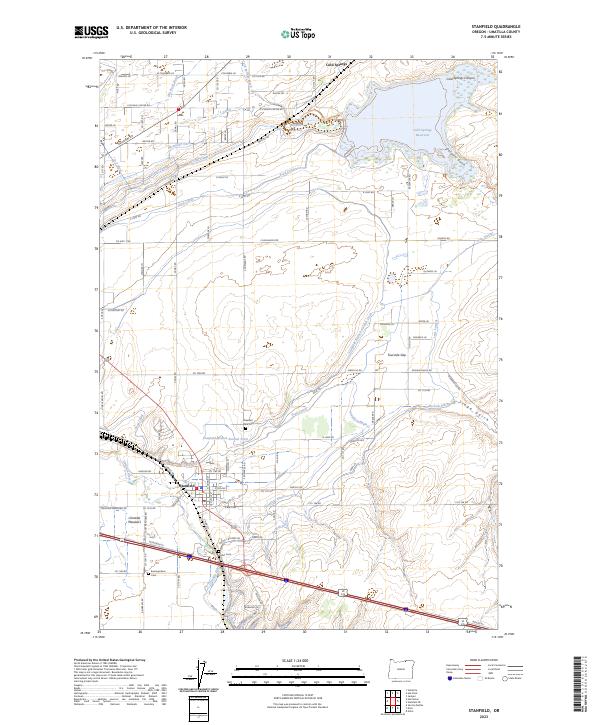 2023 Stanfield2023 Print · USGSStanfield and the Umatilla River valley are shown here in the 2020s, revealing a landscape defined by an intricate network of desert irrigation. Genealogists and local historians can locate early burial sites like Pleasant View Cem and trace the paths of the Maxwell Canal or the historic Stage Gulch.
 - 2024 Map of Hermiston, 2024 Print
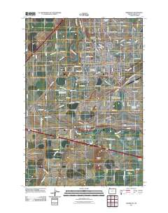
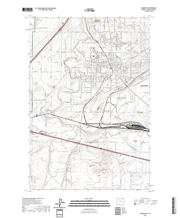 2024 Hermiston2024 Print · USGSThe Umatilla River basin in the early 2020s shows a landscape transformed by intensive irrigation and transit. Genealogists and researchers can trace the growth of Hermiston through landmarks like the Hermiston Cemetery and the rail yards at Hinkle.
End of results
Showing maps 1-10 of 10
Top cities near Hermiston
Frequently asked questions
- What are the different types of historical maps available for Hermiston?
- What is the oldest map of Hermiston?
- Where can I purchase historical maps of Hermiston for my home or office?
- Where can I download high-res historical maps of Hermiston?
- Are there historical topographic maps available for Hermiston?
- Is there historical aerial imagery available for Hermiston?
- Where are historical maps of Hermiston sourced from?