Old Maps of Hermiston, Oregon for Academic Research
Study the evolution of Hermiston with 18 high-resolution historic maps. Whether you're teaching, researching, or modeling changes in land use, these maps provide essential visual documentation of urban, environmental, and geographic change.
- Analyze long-term change: Track patterns in development, transportation, and natural features.
- Ideal for environmental or urban studies: Support academic projects with primary historical map data.
- Use in the classroom or lab: Educators and researchers rely on these maps to bring historical context to life.
These maps are a powerful tool for teaching, research, and visualizing how Hermiston has changed over the decades.
Hermiston, OR maps
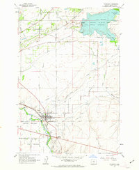
(18)- 1908 Map of Umatilla
 1908 Umatilla1908 Print · USGSEastern Oregon at the turn of the century shows a landscape being transformed by early irrigation and competing rail lines. Genealogists and researchers can trace the growth of Hermiston, Echo, and Pine City or follow the path of the Stage Road and the Furnish Ditch.3 unique versions available
 - 1953 Map of Pendleton, 1957 Print
 1953 Pendleton1957 Print · USGSNortheastern Oregon and the Columbia River frontier are captured here in the early fifties, a time of massive federal infrastructure projects. Researchers can trace the historic route of The Old Oregon Trail as it passes near the Umatilla Ordnance Depot and the new McNary Dam.4 unique versions available
 - 1956 Map of Pendleton
 1956 Pendleton1956 Print · USGSNortheastern Oregon’s high plateau and timbered peaks appear here in the mid-fifties, during a time of major military and hydroelectric development. Trace the path of The Old Oregon Trail alongside modern landmarks like McNary Dam and the Umatilla Ordnance Depot.
 - 1962 Map of Stanfield, 1963 Print
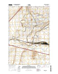
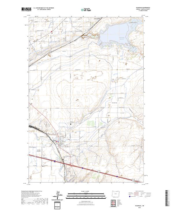
 1962 Stanfield1963 Print · USGSUmatilla County agricultural life thrives in the early sixties along the vital Union Pacific rail line and river meadows. Genealogists and local historians can trace irrigation networks like the Furnish Ditch and locate early community sites including West Stanfield Sch and Pleasant View Cem.2 unique versions available
 - 1962 Map of Hermiston, 1963 Print
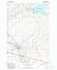
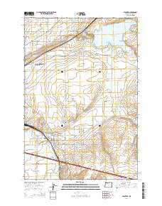
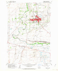 1962 Hermiston1963 Print · USGSHermiston and its surrounding irrigation district thrived in the early sixties as a hub of agriculture and rail transport. Genealogists and local historians can trace family-named roads like Cooney Lane, explore the rail yard at Hinkle, or locate rural landmarks like Bucks Corners.4 unique versions available
 - 1984 Map of Hermiston
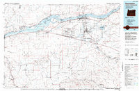 1984 Hermiston1984 Print · USGSThe Columbia River basin in the 1980s reveals a landscape of massive infrastructure, from hydroelectric dams to expansive military depots. Researchers can trace the industrial footprint of the Umatilla Ordnance Depot or locate historic rail hubs at Hinkle and Stanfield.2 unique versions available
 - 1993 Map of Hermiston
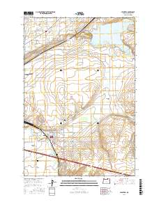
 1993 Hermiston1993 Print · USGSHermiston and the surrounding Umatilla River valley are shown in the early nineties as a bustling center of irrigation and rail logistics. Researchers can trace the massive Hinkle Yards, locate the Cem, and find local landmarks like Bucks Corners.
 - 1993 Map of Stanfield
 1993 Stanfield1993 Print · USGSStanfield and the Umatilla River valley are captured in the early nineties, showing a landscape defined by an intricate canal system and rail lines. Researchers can trace local heritage through Pleasant View Cem, the Grange Hall, and the winding Union Pacific Railroad.
 - 2011 Map of Hermiston, 2011 Print
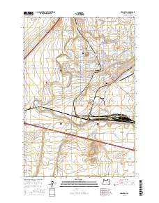
 2011 Hermiston2011 Print · USGSCovers Hermiston, including Bucks Corners, Umatilla County, and other nearby areas
 - 2011 Map of Stanfield, 2011 Print
 2011 Stanfield2011 Print · USGSCovers Hermiston, including Stanfield, Umatilla County, and other nearby areas
 - 2014 Map of Hermiston, 2014 Print
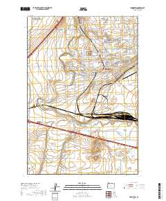
 2014 Hermiston2014 Print · USGSCovers Hermiston, including Bucks Corners, Umatilla County, and other nearby areas
 - 2014 Map of Stanfield, 2014 Print
 2014 Stanfield2014 Print · USGSCovers Hermiston, including Stanfield, Umatilla County, and other nearby areas
 - 2017 Map of Stanfield, 2017 Print
 2017 Stanfield2017 Print · USGSCovers Hermiston, including Stanfield, Umatilla County, and other nearby areas
 - 2017 Map of Hermiston, 2017 Print
 2017 Hermiston2017 Print · USGSCovers Hermiston, including Bucks Corners, Umatilla County, and other nearby areas
 - 2020 Map of Hermiston, 2020 Print
 2020 Hermiston2020 Print · USGSCovers Hermiston, including Bucks Corners, Umatilla County, and other nearby areas
 - 2020 Map of Stanfield, 2020 Print
 2020 Stanfield2020 Print · USGSCovers Hermiston, including Stanfield, Umatilla County, and other nearby areas
 - 2023 Map of Stanfield, 2023 Print
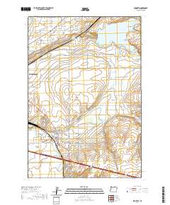
 2023 Stanfield2023 Print · USGSStanfield and the Umatilla River valley are shown here in the 2020s, revealing a landscape defined by an intricate network of desert irrigation. Genealogists and local historians can locate early burial sites like Pleasant View Cem and trace the paths of the Maxwell Canal or the historic Stage Gulch.
 - 2024 Map of Hermiston, 2024 Print
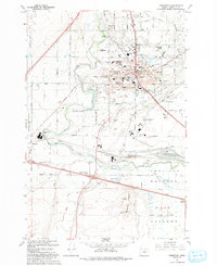
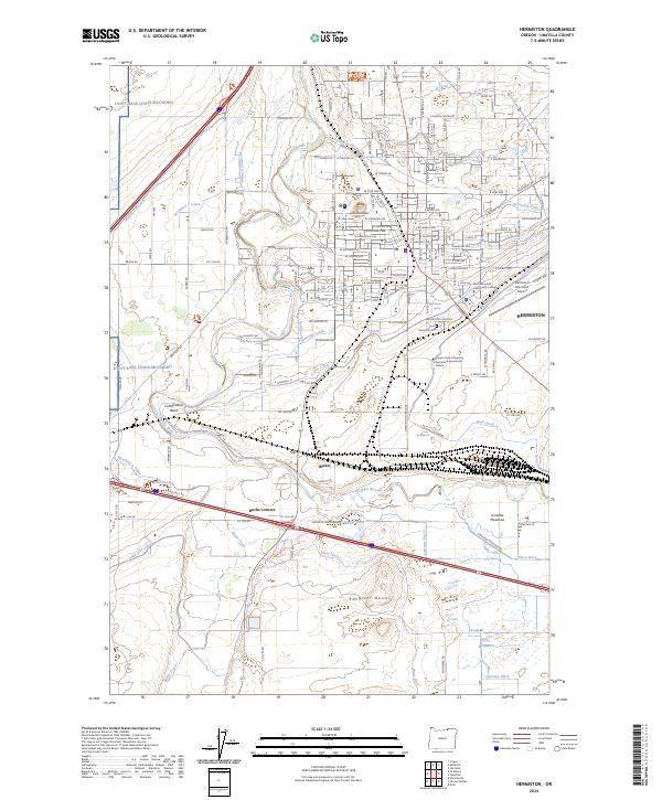 2024 Hermiston2024 Print · USGSThe Umatilla River basin in the early 2020s shows a landscape transformed by intensive irrigation and transit. Genealogists and researchers can trace the growth of Hermiston through landmarks like the Hermiston Cemetery and the rail yards at Hinkle.
End of results
Showing maps 1-18 of 18
Top cities near Hermiston
Frequently asked questions
- What are the different types of historical maps available for Hermiston?
- What is the oldest map of Hermiston?
- Where can I purchase historical maps of Hermiston for my home or office?
- Where can I download high-res historical maps of Hermiston?
- Are there historical topographic maps available for Hermiston?
- Is there historical aerial imagery available for Hermiston?
- Where are historical maps of Hermiston sourced from?