Old Maps of Pondosa, Oregon for Academic Research
Study the evolution of Pondosa with 11 high-resolution historic maps. Whether you're teaching, researching, or modeling changes in land use, these maps provide essential visual documentation of urban, environmental, and geographic change.
- Analyze long-term change: Track patterns in development, transportation, and natural features.
- Ideal for environmental or urban studies: Support academic projects with primary historical map data.
- Use in the classroom or lab: Educators and researchers rely on these maps to bring historical context to life.
These maps are a powerful tool for teaching, research, and visualizing how Pondosa has changed over the decades.
Pondosa, OR maps
(11)- 1906 Map of Telocaset
 1906 Telocaset1906 Print · USGSEastern Oregon at the peak of its railroad and ranching era features a landscape of thriving valley towns and high forest reserves. Genealogists and local historians can trace early settlements like Union and Cove, or locate long-standing landmarks such as Hot Lake and Medical Springs.3 unique versions available
 - 1955 Map of Grangeville, 1964 Print
 1955 Grangeville1964 Print · USGSThe high country of the Idaho-Oregon border comes alive in the mid-1950s, showing the deep river canyons and mountain peaks. Trace the Union Pacific RR through the valleys or locate settlements like Grangeville, Joseph, and the shoreline of Wallowa Lake.4 unique versions available
 - 1959 Map of Grangeville
 1959 Grangeville1959 Print · USGSThe high alpine peaks and deep river canyons of the Idaho-Oregon borderlands are captured in the late fifties. Researchers can trace the Union Pacific RR through the valleys to settlements like Enterprise, Union, and Grangeville.2 unique versions available
 - 1965 Map of Medical Springs, 1967 Print
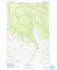
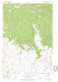 1965 Medical Springs1967 Print · USGSThe high timber country of Union County is documented here in the mid-sixties, showing the intersection of logging roads and natural landmarks. Researchers can trace the layout of Medical Springs and Pondosa or locate family-named features like McCurry Creek and Beagle Road.2 unique versions available
 - 1986 Map of Enterprise, 1987 Print
 1986 Enterprise1987 Print · USGSThe high peaks and deep valleys of Northeast Oregon are captured in the mid-1980s, showcasing the transition from the Grande Ronde Valley to the wilderness. Researchers can trace the Union Pacific rail corridor through Telocaset or locate historic sites like Cornucopia and Medical Springs.
 - 1993 Map of Medical Springs
 1993 Medical Springs1993 Print · USGSThe foothills of the Whitman National Forest come alive in this 1990s record of Union County mountain life. Genealogists and researchers can trace the vicinity of Medical Springs and Bondosa, or locate family sites near the Cem and Wisdom.
 - 2011 Map of Medical Springs, 2011 Print
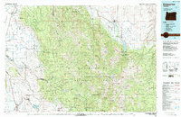
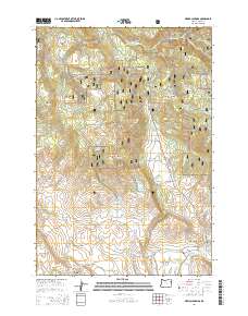
 2011 Medical Springs2011 Print · USGSCovers Pondosa, including Union County, United States, and other nearby areas
 - 2014 Map of Medical Springs, 2014 Print
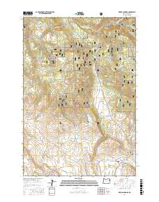
 2014 Medical Springs2014 Print · USGSCovers Pondosa, including Union County, United States, and other nearby areas
 - 2017 Map of Medical Springs, 2017 Print
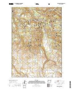
 2017 Medical Springs2017 Print · USGSCovers Pondosa, including Union County, United States, and other nearby areas
 - 2020 Map of Medical Springs, 2020 Print
 2020 Medical Springs2020 Print · USGSCovers Pondosa, including Union County, United States, and other nearby areas
 - 2024 Map of Medical Springs, 2024 Print
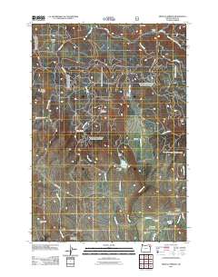
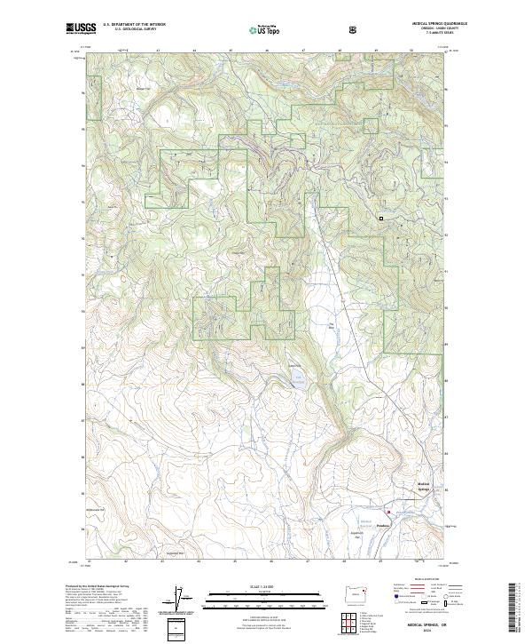 2024 Medical Springs2024 Print · USGSMedical Springs and the timber settlement of Pondosa are shown in recent detail within the high country of the Whitman National Forest. Genealogists and historians can trace local water rights and recreation through Medical Hot Spring, Robertson Ditch, and Huckleberry Ski Trl.
End of results
Showing maps 1-11 of 11
Top cities near Pondosa
Frequently asked questions
- What are the different types of historical maps available for Pondosa?
- What is the oldest map of Pondosa?
- Where can I purchase historical maps of Pondosa for my home or office?
- Where can I download high-res historical maps of Pondosa?
- Are there historical topographic maps available for Pondosa?
- Is there historical aerial imagery available for Pondosa?
- Where are historical maps of Pondosa sourced from?