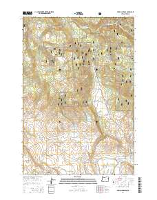
2014 Map of Medical Springs
USGS Topo · Published 2014About this map
Medical Springs and Pondosa sit at the southern end of a complex drainage network that defines this high-country landscape. The local economy and geography revolve around the management of water and timber, evidenced by the extensive reaches of the Whitman National Forest and a series of irrigation and storage features like the Wright Ditch, Robertson Ditch, and Fisk Reservoir. The southern flats around Sagebrush Flat transition into the prominent heights of Sugarloaf Mountain and Rattlesnake Hill.
Find a feature on this map
45 named features on this map. Tap any name to fly to it.
Don’t see what you’re looking for? This feature index may not catch every label — zoom into the map to look around manually.
Map Details
Editions of this 2014 Medical Springs Map
This is the sole edition of this map. No revisions or reprints were ever made.
Other maps of this area

1901 · Baker City
USGS Topo · 1:125,000

1906 · Telocaset
USGS Topo · 1:125,000

1955 · Baker
USGS Topo · 1:250,000

1955 · Grangeville
USGS Topo · 1:250,000

1959 · Baker
USGS Topo · 1:250,000

1959 · Grangeville
USGS Topo · 1:250,000

1965 · China Cap
USGS Topo · 1:24,000

1965 · Flagstaff Butte
USGS Topo · 1:24,000

1965 · Union
USGS Topo · 1:24,000

1965 · Medical Springs
USGS Topo · 1:24,000