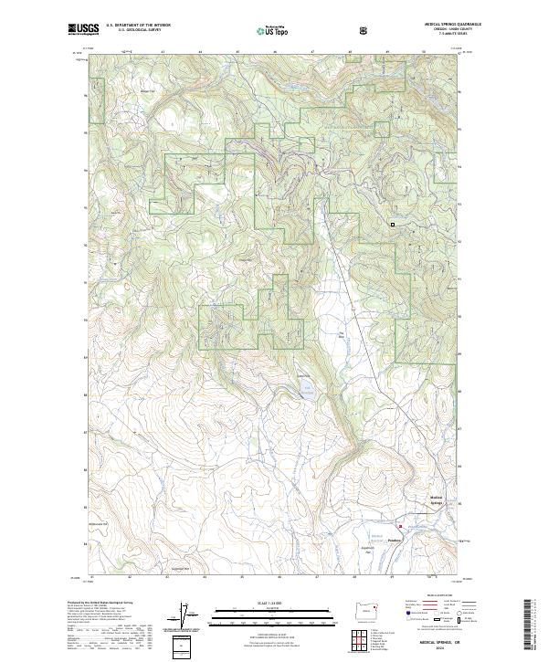
2024 Map of Medical Springs
USGS Topo · Published 2024About this map
Medical Springs and the nearby settlement of Pondosa anchor this high-elevation landscape within the Whitman National Forest in eastern Oregon. The geography is defined by a complex network of alpine drainage systems, including Catherine Creek and its South Fork, alongside human-engineered water management features like Robertson Ditch and Wright Ditch. The presence of the Medical Hot Spring suggests a long history of local interest in the area's geothermal activity.
Find a feature on this map
43 named features on this map. Tap any name to fly to it.
Don’t see what you’re looking for? This feature index may not catch every label — zoom into the map to look around manually.
Map Details
Editions of this 2024 Medical Springs Map
This is the sole edition of this map. No revisions or reprints were ever made.
Other maps of this area

1901 · Baker City
USGS Topo · 1:125,000

1906 · Telocaset
USGS Topo · 1:125,000

1955 · Baker
USGS Topo · 1:250,000

1955 · Grangeville
USGS Topo · 1:250,000

1959 · Baker
USGS Topo · 1:250,000

1959 · Grangeville
USGS Topo · 1:250,000

1965 · China Cap
USGS Topo · 1:24,000

1965 · Flagstaff Butte
USGS Topo · 1:24,000

1965 · Union
USGS Topo · 1:24,000

1965 · Medical Springs
USGS Topo · 1:24,000