2000s (21st Century) Maps of Shaniko, Oregon
Explore 12 historic maps of Shaniko from the 2000s (21st Century). These maps offer a rare glimpse into what life looked like during the 2000s — showing old roads, neighborhoods, homes, and landmarks that have changed or disappeared over time.
Whether you're researching your family's past, planning a metal detecting trip, or studying how Shaniko's landscape evolved across the 2000s, these high-resolution maps are a powerful tool for exploring the history of this region.
- Focus on a specific era: All maps on this page are from the 2000s, giving you a focused view of this time period.
- See what’s changed: Compare century-old streets, trails, and buildings to today's modern landscape using overlays and satellite layers.
- Research with precision: Use these maps for genealogy, historical research, land use analysis, or educational projects.
- View, download, or print: Maps are fully viewable online in high resolution, and can be downloaded or printed for your own records.
Start exploring Shaniko's history through authentic maps from the 2000s. This is your window into the past.
Shaniko, OR maps
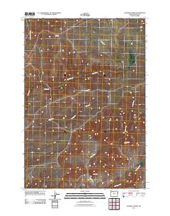
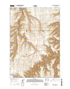
(12)- 2011 Map of Antelope, 2011 Print
 2011 Antelope2011 Print · USGSCovers Shaniko, including Antelope, Wasco County, and other nearby areas
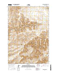
 - 2011 Map of Shaniko Summit, 2011 Print
 2011 Shaniko Summit2011 Print · USGSCovers Shaniko, including Wasco County, United States, and other nearby areas
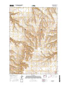
 - 2011 Map of Shaniko, 2011 Print
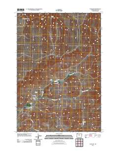
 2011 Shaniko2011 Print · USGSCovers Shaniko, including Wasco County, United States, and other nearby areas
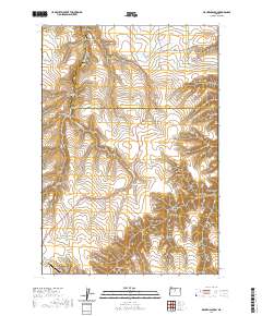
 - 2011 Map of Macken Canyon, 2011 Print
 2011 Macken Canyon2011 Print · USGSCovers Shaniko, including Wasco County, Sherman County, and other nearby areas
 - 2014 Map of Macken Canyon, 2014 Print
 2014 Macken Canyon2014 Print · USGSCovers Shaniko, including Wasco County, Sherman County, and other nearby areas
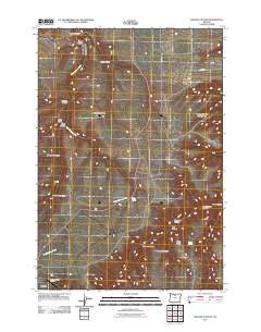
 - 2017 Map of Shaniko Summit, 2017 Print
 2017 Shaniko Summit2017 Print · USGSCovers Shaniko, including Wasco County, United States, and other nearby areas
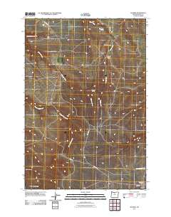
 - 2017 Map of Shaniko, 2017 Print
 2017 Shaniko2017 Print · USGSCovers Shaniko, including Wasco County, United States, and other nearby areas
 - 2020 Map of Macken Canyon, 2020 Print
 2020 Macken Canyon2020 Print · USGSCovers Shaniko, including Wasco County, Sherman County, and other nearby areas
 - 2023 Map of Antelope, 2023 Print
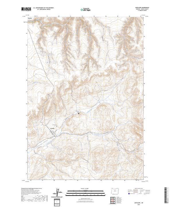 2023 Antelope2023 Print · USGSThe high desert country of Wasco County is documented here during the early twenty-first century, featuring the historic townsites of Antelope and Shaniko. You can trace local genealogy at Antelope Cem or follow the terrain from Antelope Valley through Wallace Canyon.
 - 2023 Map of Shaniko Summit, 2023 Print
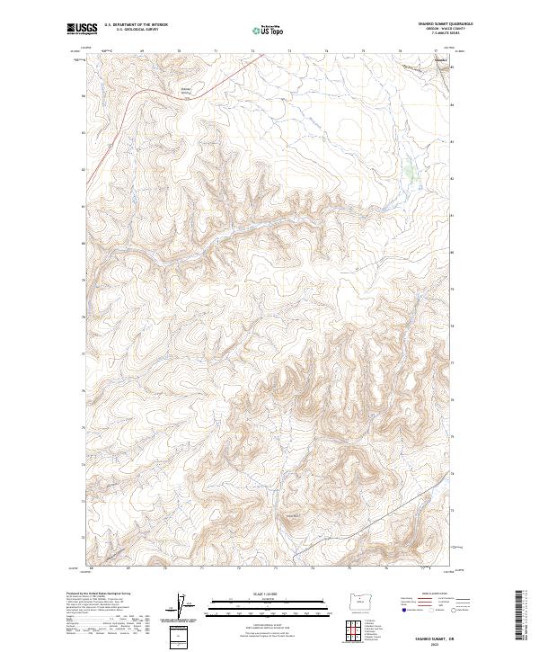 2023 Shaniko Summit2023 Print · USGSThe high desert of Wasco County is captured here in the early twenty-first century, showcasing the rugged plateau around the famous wool-shipping center of Shaniko. Researchers can trace the drainage of Antelope Creek and identify landmarks like Cross Hill and Shaniko Summit.
 - 2023 Map of Macken Canyon, 2023 Print
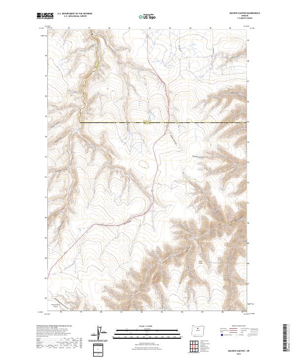 2023 Macken Canyon2023 Print · USGSThe high plateau of Wasco and Sherman counties comes into focus in this recent survey of the North-Central Oregon ranchlands. Genealogists and historians can trace family-named landmarks like Taylor Point or locate remote water sources such as Kelsey Spring and Taylor Springs.
 - 2023 Map of Shaniko, 2023 Print
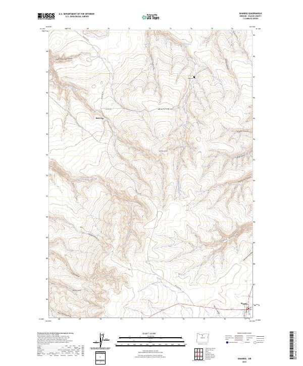 2023 Shaniko2023 Print · USGSShaniko and the surrounding Wasco County plateaus are captured here in their modern high-desert context. Researchers can trace the early homesteading footprint through the Bakeoven Cemetery and named landmarks like Nochter Butte and Burgess Canyon.
End of results
Showing maps 1-12 of 12
Top cities near Shaniko
Frequently asked questions
- What are the different types of historical maps available for Shaniko?
- What is the oldest map of Shaniko?
- Where can I purchase historical maps of Shaniko for my home or office?
- Where can I download high-res historical maps of Shaniko?
- Are there historical topographic maps available for Shaniko?
- Is there historical aerial imagery available for Shaniko?
- Where are historical maps of Shaniko sourced from?