2000s (21st Century) Maps of Beaverton, Oregon
Explore 21 historic maps of Beaverton from the 2000s (21st Century). These maps offer a rare glimpse into what life looked like during the 2000s — showing old roads, neighborhoods, homes, and landmarks that have changed or disappeared over time.
Whether you're researching your family's past, planning a metal detecting trip, or studying how Beaverton's landscape evolved across the 2000s, these high-resolution maps are a powerful tool for exploring the history of this region.
- Focus on a specific era: All maps on this page are from the 2000s, giving you a focused view of this time period.
- See what’s changed: Compare century-old streets, trails, and buildings to today's modern landscape using overlays and satellite layers.
- Research with precision: Use these maps for genealogy, historical research, land use analysis, or educational projects.
- View, download, or print: Maps are fully viewable online in high resolution, and can be downloaded or printed for your own records.
Start exploring Beaverton's history through authentic maps from the 2000s. This is your window into the past.
Beaverton, OR maps
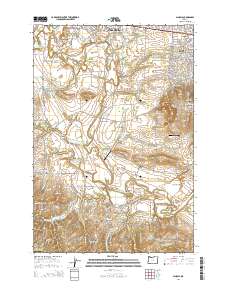
(21)- 2011 Map of Linnton, 2011 Print
 2011 Linnton2011 Print · USGSCovers Beaverton, including Portland, Hillsboro, and other nearby areas
 - 2011 Map of Scholls, 2011 Print
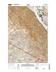
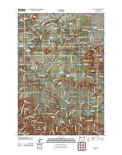 2011 Scholls2011 Print · USGSCovers Beaverton, including Hillsboro, Farmington, and other nearby areas
 - 2011 Map of Beaverton, 2011 Print
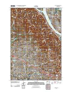
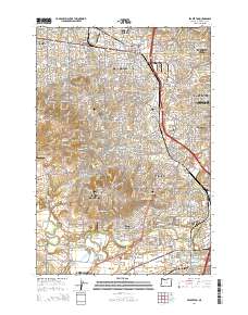
 2011 Beaverton2011 Print · USGSCovers Beaverton, including Portland, Tigard, and other nearby areas
 - 2011 Map of Portland, 2011 Print
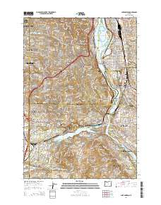
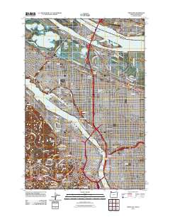 2011 Portland2011 Print · USGSCovers Beaverton, including Portland, Vancouver, and other nearby areas
 - 2014 Map of Scholls, 2014 Print
 2014 Scholls2014 Print · USGSCovers Beaverton, including Hillsboro, Farmington, and other nearby areas
 - 2014 Map of Linnton, 2014 Print
 2014 Linnton2014 Print · USGSCovers Beaverton, including Portland, Hillsboro, and other nearby areas
 - 2014 Map of Beaverton, 2014 Print
 2014 Beaverton2014 Print · USGSCovers Beaverton, including Portland, Tigard, and other nearby areas
 - 2014 Map of Lake Oswego, 2014 Print
 2014 Lake Oswego2014 Print · USGSCovers Beaverton, including Portland, Tigard, and other nearby areas
 - 2017 Map of Beaverton, 2017 Print
 2017 Beaverton2017 Print · USGSCovers Beaverton, including Portland, Tigard, and other nearby areas
 - 2017 Map of Lake Oswego, 2017 Print
 2017 Lake Oswego2017 Print · USGSCovers Beaverton, including Portland, Tigard, and other nearby areas
 - 2017 Map of Scholls, 2017 Print
 2017 Scholls2017 Print · USGSCovers Beaverton, including Hillsboro, Farmington, and other nearby areas
 - 2017 Map of Portland, 2017 Print
 2017 Portland2017 Print · USGSCovers Beaverton, including Portland, Vancouver, and other nearby areas
 - 2020 Map of Lake Oswego, 2020 Print
 2020 Lake Oswego2020 Print · USGSCovers Beaverton, including Portland, Tigard, and other nearby areas
 - 2020 Map of Portland, 2020 Print
 2020 Portland2020 Print · USGSCovers Beaverton, including Portland, Vancouver, and other nearby areas
 - 2020 Map of Beaverton, 2020 Print
 2020 Beaverton2020 Print · USGSCovers Beaverton, including Portland, Tigard, and other nearby areas
 - 2020 Map of Scholls, 2020 Print
 2020 Scholls2020 Print · USGSCovers Beaverton, including Hillsboro, Farmington, and other nearby areas
 - 2024 Map of Scholls, 2024 Print
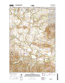
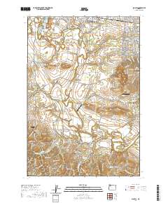
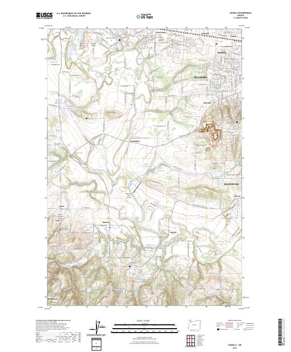 2024 Scholls2024 Print · USGSThe Tualatin Valley comes into focus in this recent study of the Hillsboro and Beaverton outskirts during their modern expansion. Local historians can locate numerous family-named burial grounds and rural hubs like Saint Matthews Catholic Cem, Scholls, and Midway.
 - 2024 Map of Beaverton, 2024 Print
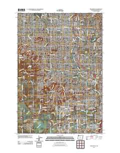
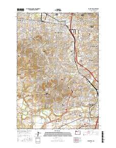
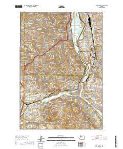
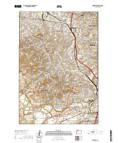
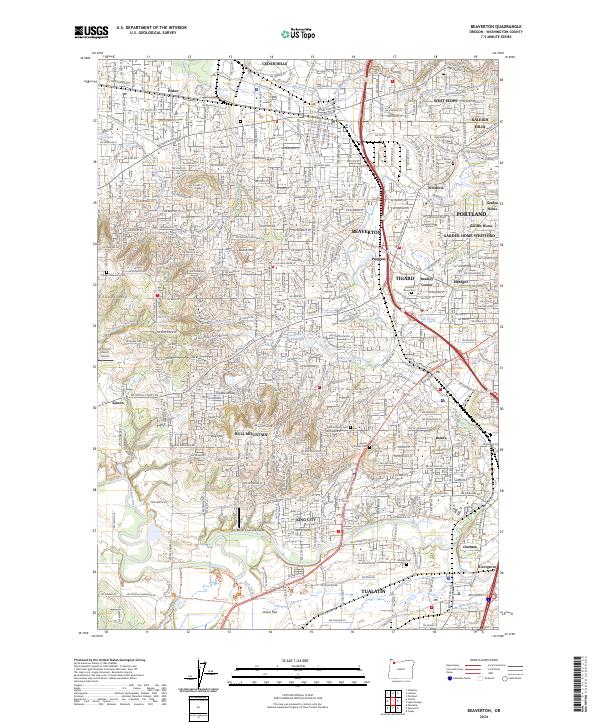 2024 Beaverton2024 Print · USGSBeaverton and the Tualatin River valley show a mature suburban landscape in the early twenty-first century. Genealogists and local historians can locate several historic burial grounds like Patton Cem and Sunset Pioneer Cem alongside modern landmarks like Meyer Riverside Airpark.
 - 2024 Map of Linnton, 2024 Print
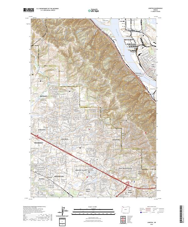 2024 Linnton2024 Print · USGSThe northern reaches of the Portland area meet the Tualatin Valley in this contemporary survey of the riverfront and suburban hills. Researchers can trace historic burial grounds like Bethany Pioneer Cem and the riverfront character of Linnton and Saint Johns.
 - 2024 Map of Lake Oswego, 2024 Print
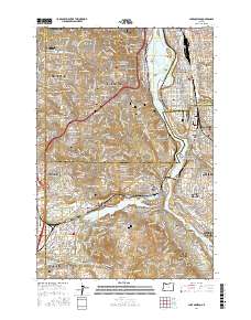
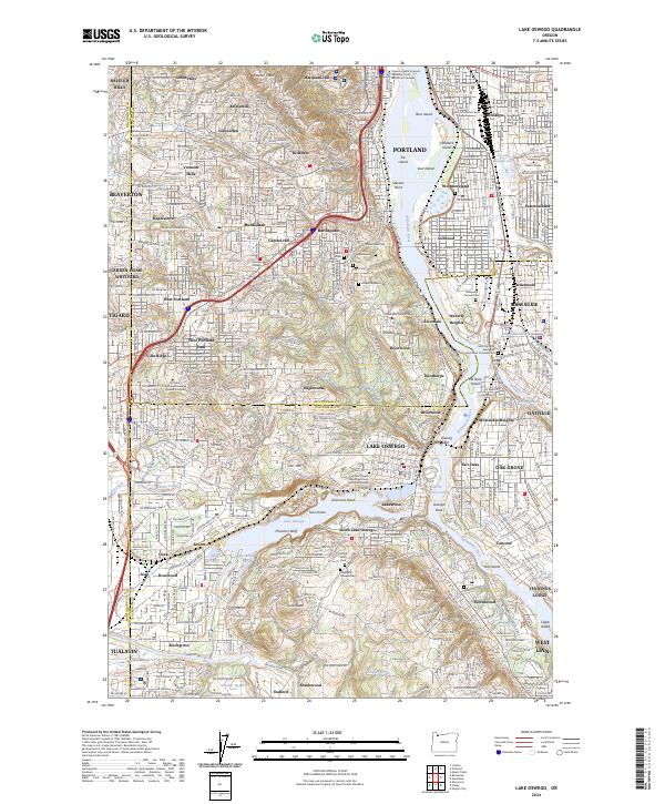 2024 Lake Oswego2024 Print · USGSThe Willamette River corridor and its surrounding hills are shown during a period of modern suburban density. Genealogists and historians can trace family plots at Beth Israel Cem or locate the historic Oswego Pioneer Cem near Iron Mtn.
 - 2024 Map of Portland, 2024 Print
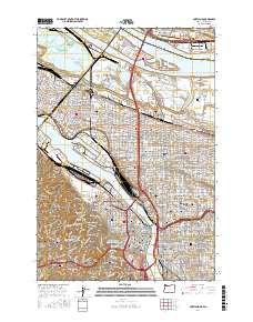
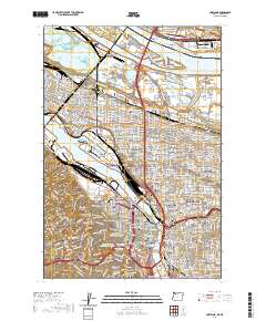
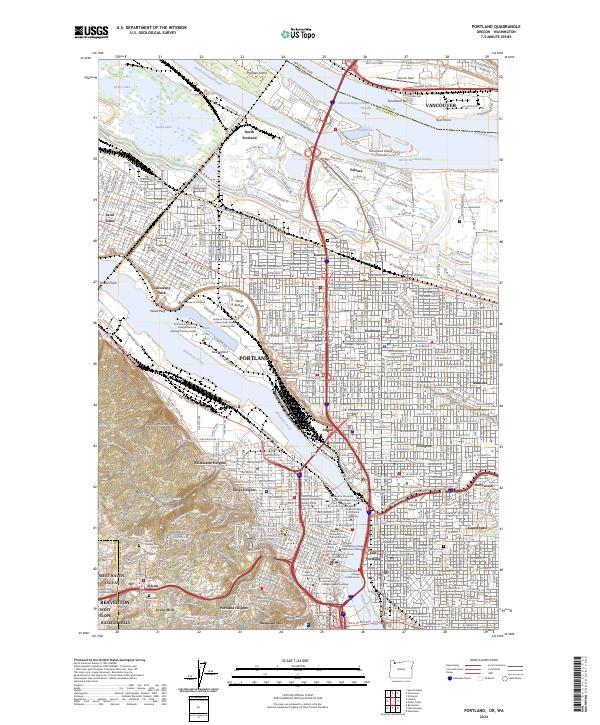 2024 Portland2024 Print · USGSPortland and Vancouver meet at the Columbia River in this detailed modern survey of the urban corridor. Genealogists and historians can trace neighborhood boundaries and find sites like Historic Columbian Cem, Pearson Field, and Swan Island.
End of results
Showing maps 1-21 of 21
Top cities near Beaverton
- Portland historical maps
- Vancouver historical maps
- Hillsboro historical maps
- Tigard historical maps
- Lake Oswego historical maps
- Oregon City historical maps
See more
Top neighborhoods of Beaverton
- Denney Whitford/Raleigh West historical maps
- Five Oaks/Triple Creek historical maps
- Central Beaverton historical maps
- Neighbors Southwest historical maps
- Vose historical maps
- South Beaverton historical maps
See more
Frequently asked questions
- What are the different types of historical maps available for Beaverton?
- What is the oldest map of Beaverton?
- Where can I purchase historical maps of Beaverton for my home or office?
- Where can I download high-res historical maps of Beaverton?
- Are there historical topographic maps available for Beaverton?
- Is there historical aerial imagery available for Beaverton?
- Where are historical maps of Beaverton sourced from?