Old Maps of Twickenham, Oregon for Genealogy
Trace your family roots with 12 historic maps of Twickenham. These high-res maps reveal old neighborhoods, homesites, landmarks, and streets — helping you uncover where your ancestors lived and how the area evolved over time.
- Explore historic neighborhoods: Identify where your relatives may have lived in the 1800s or 1900s.
- Compare maps over time: Trace the changes in streets, buildings, and landmarks for multi-generational research.
- Perfect for genealogy & ancestry research: Used by family historians and researchers to map out lineage and migration.
These maps are an incredible resource for exploring your personal connection to Twickenham's past.
Twickenham, OR maps
(12)- 1926 Map of Mitchell
 1926 Mitchell1926 Print · USGSCentral Oregon ranching and geology are documented here in the mid-1920s, showing a landscape defined by the winding John River. Genealogists can locate family holdings like Old Frizzell Ranch and Laird Ranch alongside remote schoolhouses like Gable School.3 unique versions available
 - 1955 Map of Bend, 1964 Print
 1955 Bend1964 Print · USGSCentral Oregon was undergoing significant growth in the mid-1960s as irrigation and infrastructure transformed the high desert. Researchers can trace the path of the Oregon Trunk Line, locate old stops like Gateway, and find landmarks like Lava Butte or the Grange.3 unique versions available
 - 1957 Map of Bend
 1957 Bend1957 Print · USGSCentral Oregon in the mid-fifties is a landscape of transition between the high Cascades and the arid volcanic plateau. Local historians can trace the rail corridors of the Oregon Trunk and locate early settlements like Ashwood, Odin Falls, and Camp Sherman.
 - 1958 Map of Bend
 1958 Bend1958 Print · USGSCentral Oregon in the late fifties was a land of high desert ranching and growing mountain towns. Researchers can trace the rail lines of the Oregon Trunk Railroad, find established settlements like Madras and Sisters, or locate landmarks such as Smith Rock and Lava Butte.
 - 1966 Map of Mitchell, 1968 Print
 1966 Mitchell1968 Print · USGSMitchell and the high desert of Central Oregon are captured here in the late sixties, showcasing a landscape of high buttes and isolated ranchlands. Genealogists can trace family footprints at Richmond Cemetery, the Gable Creek School, and the Old Frizzell Ranch.2 unique versions available
 - 1981 Map of Stephenson Mountain, 1997 Print
 1981 Stephenson Mountain1997 Print · USGSThe high-desert ranching and mining heart of North Central Oregon is captured here in the early eighties. Genealogists and historians can trace old settlements and mineral prospects from Shaniko to the Oregon King Mine and the John Day River canyon.
 - 1987 Map of Sutton Mtn., 1988 Print
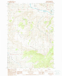 1987 Sutton Mtn.1988 Print · USGSThe riverside community of Twickenham and the surrounding high canyons are captured in the late eighties. Researchers can trace land use through 4WD trails, find a remote Cem, and explore the edges of the John Day Fossil Beds National Monument.
 - 2011 Map of Sutton Mountain, 2011 Print
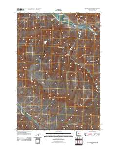 2011 Sutton Mountain2011 Print · USGSTwickenham and the high desert of Wheeler County are captured here during the early twenty-first century as the John Day River winds through the canyons. Researchers can trace the terrain from Sutton Mountain to Gilchrist Valley and locate landmarks like Chapman Spring.
 - 2014 Map of Sutton Mountain, 2014 Print
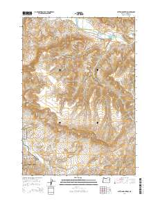 2014 Sutton Mountain2014 Print · USGSWheeler County's high-desert landscape is captured here in the early twenty-first century, centered on the heights of Sutton Mountain. Researchers can trace the boundaries of the John Day Fossil Beds National Monument or locate remote landmarks like the Collins Landing Strip Airport and Chapman Spring.
 - 2017 Map of Sutton Mountain, 2017 Print
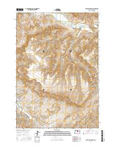 2017 Sutton Mountain2017 Print · USGSThe high desert of Wheeler County is captured here in the late 2010s, centered on the dramatic geologic formations of the John Day River canyon. Researchers can trace the boundaries of the John Day Fossil Beds National Monument and locate landmarks like the Collins Landing Strip and Sutton Mountain.
 - 2020 Map of Sutton Mountain, 2020 Print
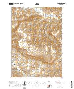 2020 Sutton Mountain2020 Print · USGSThe John Day River country in Wheeler County is revealed here during the recent era of conservation and ranching. Genealogists and local historians can trace family-named sites like Collins Landing Strip, Chapman Spring, and the historic settlement of Twickenham.
 - 2024 Map of Sutton Mountain, 2024 Print
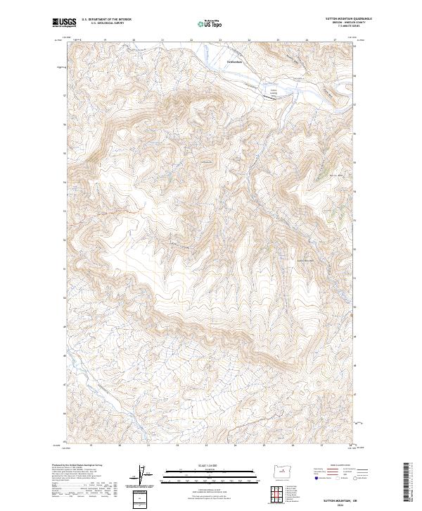 2024 Sutton Mountain2024 Print · USGSWheeler County's high desert terrain is recorded here in the early twenty-first century, centered on the canyons of the John Day River. Researchers can trace the bounds of the John Day Fossil Beds National Monument and locate landmarks like Twickenham and Sutton Mountain.
End of results
Showing maps 1-12 of 12
Top cities near Twickenham
Frequently asked questions
- What are the different types of historical maps available for Twickenham?
- What is the oldest map of Twickenham?
- Where can I purchase historical maps of Twickenham for my home or office?
- Where can I download high-res historical maps of Twickenham?
- Are there historical topographic maps available for Twickenham?
- Is there historical aerial imagery available for Twickenham?
- Where are historical maps of Twickenham sourced from?