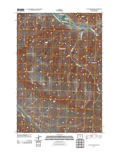
2011 Map of Sutton Mountain
USGS Topo · Published 2011About this map
The Twickenham settlement sits along a bend of the John Day River in this Wheeler County landscape, where the river carves a path through high desert terrain and prominent ridges. A network of primitive and local routes, including N Twickenham Rd and Burnt Ranch Rd, provide the primary access to the scattered canyons and high points that define the local geography. Significant elevation changes are marked by named peaks such as Sutton Mountain, Packsaddle Mountain, and Horse Mountain, which overlook deep-cut drainage systems like Black Canyon and Big Canyon.
Find a feature on this map
18 named features on this map. Tap any name to fly to it.
Don’t see what you’re looking for? This feature index may not catch every label — zoom into the map to look around manually.
Map Details
Editions of this 2011 Sutton Mountain Map
This is the sole edition of this map. No revisions or reprints were ever made.
Other maps of this area
1926 · Mitchell
USGS Topo · 1:125,000
1955 · Bend
USGS Topo · 1:250,000
1957 · Bend
USGS Topo · 1:250,000
1958 · Bend
USGS Topo · 1:250,000
1966 · Mitchell
USGS Topo · 1:62,500
1966 · Kinzua
USGS Topo · 1:62,500
1966 · Clarno
USGS Topo · 1:62,500
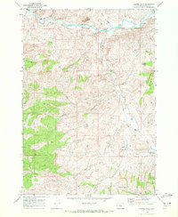
1968 · Painted Hills
USGS Topo · 1:24,000
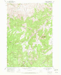
1968 · Lawson Mtn
USGS Topo · 1:24,000
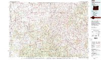
1981 · Stephenson Mountain
USGS Topo · 1:100,000