Old Maps of Straban Township, Pennsylvania for Metal Detecting
Plan your next treasure hunt with 40 historic maps of Straban Township. Find old homesites, ghost towns, trails, and gathering spots that may be lost to time — perfect for identifying promising metal detecting locations.
- Locate forgotten sites: Uncover places like long-lost settlements, abandoned rail lines, or gathering spots.
- Plan better hunts: Use map overlays combined with LiDAR or satellite views to narrow in on historically rich areas.
- Made for detectorists: Thousands of hobbyists use these maps to discover relics, coins, and hidden history.
Use these historic maps to boost your research and find new opportunities beneath the surface of Straban Township.
Straban Township, PA maps
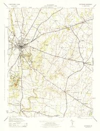
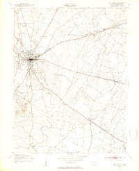
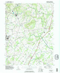
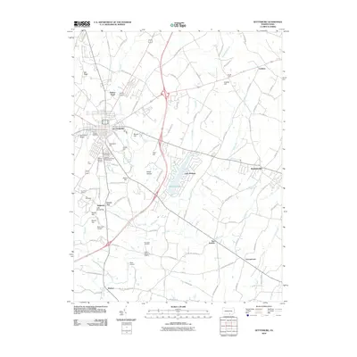
(40)- 1908 Map of Gettysburg
 1908 Gettysburg1908 Print · USGSGettysburg and rural Adams County appear in the early twentieth century as a landscape of memorialized battlefields and thriving rail-side villages. Genealogists can trace family roots through numerous country schools and landmark mills like Bream Mill or the Bermudian Churches.6 unique versions available
 - 1942 Map of Gettysburg, 1944 Print
 1942 Gettysburg1944 Print · USGSGettysburg and its surrounding borderlands are shown in great detail during the early 1940s, capturing the region's dense network of rural schools and mills. Genealogists can trace family-named landmarks such as Galt Kump PO, Hafers Mill, and Philips Delight Sch.
 - 1944 Map of Gettysburg
 1944 Gettysburg1944 Print · USGSGettysburg and its surrounding townships appear here in the 1940s, providing a clear look at the battlefield and rural Adams County. Genealogists and historians can trace the terrain of Devils Den, identify small schools like Boyd School, and locate the Hoffman Orphanage.
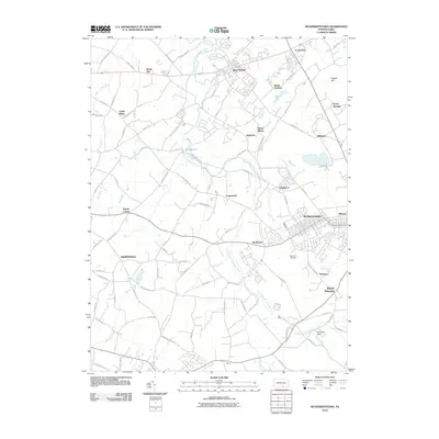
 - 1944 Map of Mc Sherrystown
 1944 Mc Sherrystown1944 Print · USGSAdams County at the height of the mid-forties reveals a landscape defined by small boroughs, limestone quarries, and rural schoolhouses. Genealogists can trace family locations near Mc Sherrystown, St Joseph Academy, and the rail junction at Berlin Jct.4 unique versions available
 - 1944 Map of Biglerville
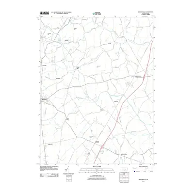
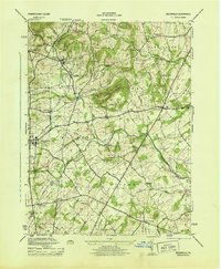 1944 Biglerville1944 Print · USGSAdams County’s orchard country and rail corridors are preserved here at the height of the mid-century fruit packing era. Genealogists and historians can trace family locations near Rock Chapel School, the H G Baugher Fruit Packing Co, and old rail stops like Bendersville Sta.5 unique versions available
 - 1944 Map of Hampton
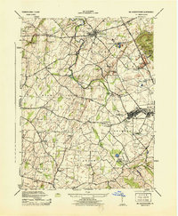
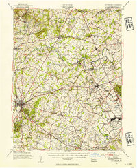
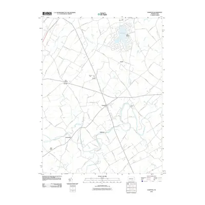
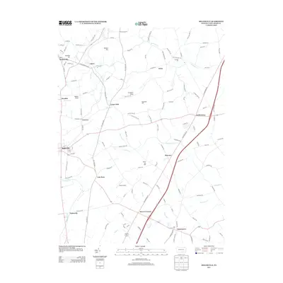
 1944 Hampton1944 Print · USGSAdams County townships like Huntington and Straban appear here during the mid-1940s, showing a landscape of small farms and family-named schools. You can trace old property lines and local landmarks from Round Hill School to the banks of Conewago Creek.5 unique versions available
 - 1948 Map of Baltimore
 1948 Baltimore1948 Print · USGSMaryland and Pennsylvania crossroads are captured in the late 1940s, showing a landscape defined by historic rail lines and major military installations. Genealogists can trace family connections in Gettysburg, Westminster, and near the U.S. Naval Academy in Annapolis.2 unique versions available
 - 1951 Map of Gettysburg, 1953 Print
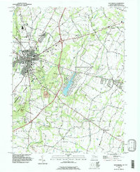
 1951 Gettysburg1953 Print · USGSGettysburg and its surrounding ridges are captured in the early 1950s, showing the town's expansion alongside the preserved Civil War battlefield. Researchers can trace family sites at Evergreen Cem, explore institutions like the Lutheran Sem, or locate landmarks such as Devils Den.7 unique versions available
 - 1951 Map of Gettysburg, 1954 Print
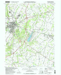
 1951 Gettysburg1954 Print · USGSGettysburg and its surrounding Adams County townships appear here during the early fifties, blending solemn Civil War landmarks with a bustling mid-century rural economy. Genealogists can locate family-named sites like Ziegler Mill, trace students at Locust Grove Sch, or find ancestors at Conewago Chapel.3 unique versions available
 - 1954 Map of Baltimore
 1954 Baltimore1954 Print · USGSThe Mid-Atlantic region in the early fifties shows a landscape of growing suburban centers and heavy rail corridors. Trace mid-century transit networks and military landmarks from the Aberdeen Proving Ground to the Gettysburg National Military Park.
 - 1956 Map of Baltimore
 1956 Baltimore1956 Print · USGSMid-century Maryland and Pennsylvania are captured here during a period of massive suburban and military growth across the Chesapeake region. Genealogists and historians can trace the rail corridors of the Baltimore & Ohio RR and locate landmarks like Fort McHenry or the Aberdeen Proving Ground.
 - 1957 Map of Baltimore, 1964 Print
 1957 Baltimore1964 Print · USGSMaryland and Southern Pennsylvania are shown during the mid-century expansion of the Baltimore-Washington corridor. Researchers can trace the extensive rail lines of the Baltimore & Ohio RR and locate sites like Fort Detrick and Gettysburg National Military Park.5 unique versions available
 - 1961 Map of Baltimore
 1961 Baltimore1961 Print · USGSMaryland and Pennsylvania are captured at a mid-century peak of industrial and military expansion. Genealogists and historians can trace rail corridors like the Western Maryland Ry or locate regional landmarks such as Camp Detrick and Kent Island.
 - 1983 Map of Hagerstown, 1984 Print
 1983 Hagerstown1984 Print · USGSThe tri-state borderlands of Maryland, Pennsylvania, and West Virginia are shown in the early eighties as a hub of military installations and valley towns. Genealogists and historians can trace the landscape from Gettysburg National Military Park to the banks of the Potomac River.2 unique versions available
 - 1989 Map of Baltimore
 1989 Baltimore1989 Print · USGSThe Mid-Atlantic corridor in the late eighties is captured here, from the Baltimore harbor to the Blue Ridge foothills. Researchers can trace the sprawling footprints of Aberdeen Proving Ground, the historic grounds of Gettysburg National Military Park, and the winding Susquehanna River.
 - 1990 Map of Mc Sherrystown, 1995 Print
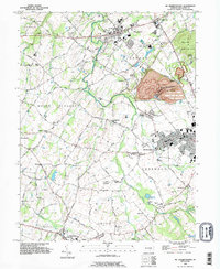 1990 Mc Sherrystown1995 Print · USGSThe Adams County countryside surrounding McSherrystown and New Oxford in the early nineties reveals a blend of farming, quarrying, and historic crossroads. Genealogists can locate family landmarks like Hostetters Meeting House, Low Dutch Cem, and the St Joseph Academy.
 - 1990 Map of Hampton, 1995 Print
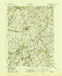
 1990 Hampton1995 Print · USGSAdams County’s rural landscape is captured here in the early nineties, showcasing the area's transition between agricultural tradition and modern development. Genealogists can locate family sites near New Chester, St Johns Ch, and the many cemeteries dotting the banks of Conewago Creek.
 - 1990 Map of Biglerville, 1995 Print
 1990 Biglerville1995 Print · USGSThe orchard country of Adams County is captured here in the early nineties, showing a landscape of established villages and rising hills. Genealogists and historians can trace family locations near Rock Chapel, find the Bendersville Sta rail point, or locate old sites like Limerick Mill.
 - 1990 Map of Gettysburg, 1995 Print
 1990 Gettysburg1995 Print · USGSGettysburg and its surrounding townships appear here in the 1990s, Balancing its legacy as a memorial site with modern growth. Historians can trace landmark sites like Devils Den and Spanglers Spring alongside the Gettysburg Railroad and Hoffman Orphanage.
 - 1994 Map of Gettysburg, 1998 Print
 1994 Gettysburg1998 Print · USGSGettysburg and its surrounding townships appear here in the mid-nineties, balancing a preserved Civil War landscape with a growing modern community. Researchers can trace historic landmarks from Devils Den and Culps Hill to the Hoffman Orphanage and the Gettysburg Railroad.
 - 2010 Map of Hampton, 2010 Print
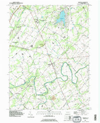
 2010 Hampton2010 Print · USGSCovers Straban Township, including Latimore Township, Reading Township, and other nearby areas
 - 2010 Map of McSherrystown, 2010 Print
 2010 McSherrystown2010 Print · USGSCovers Straban Township, including McSherrystown, New Oxford, and other nearby areas
 - 2010 Map of Biglerville, 2010 Print
 2010 Biglerville2010 Print · USGSCovers Straban Township, including Biglerville, Bendersville, and other nearby areas
 - 2010 Map of Gettysburg, 2010 Print
 2010 Gettysburg2010 Print · USGSCovers Straban Township, including Gettysburg, Bonneauville, and other nearby areas
 - 2013 Map of Biglerville, 2013 Print
 2013 Biglerville2013 Print · USGSCovers Straban Township, including Biglerville, Bendersville, and other nearby areas
Showing maps 1-25 of 40
Top cities near Straban Township
- Hanover historical maps
- Parkville historical maps
- Gettysburg historical maps
- West Manheim Township historical maps
- Taneytown historical maps
- Littlestown historical maps
See more
Top neighborhoods of Straban Township
- Newchester historical maps
- The Pines historical maps
- Guldens historical maps
- Shrivers Corners historical maps
Frequently asked questions
- What are the different types of historical maps available for Straban Township?
- What is the oldest map of Straban Township?
- Where can I purchase historical maps of Straban Township for my home or office?
- Where can I download high-res historical maps of Straban Township?
- Are there historical topographic maps available for Straban Township?
- Is there historical aerial imagery available for Straban Township?
- Where are historical maps of Straban Township sourced from?