2000s (21st Century) Maps of Terry Township, Pennsylvania
Explore 20 historic maps of Terry Township from the 2000s (21st Century). These maps offer a rare glimpse into what life looked like during the 2000s — showing old roads, neighborhoods, homes, and landmarks that have changed or disappeared over time.
Whether you're researching your family's past, planning a metal detecting trip, or studying how Terry Township's landscape evolved across the 2000s, these high-resolution maps are a powerful tool for exploring the history of this region.
- Focus on a specific era: All maps on this page are from the 2000s, giving you a focused view of this time period.
- See what’s changed: Compare century-old streets, trails, and buildings to today's modern landscape using overlays and satellite layers.
- Research with precision: Use these maps for genealogy, historical research, land use analysis, or educational projects.
- View, download, or print: Maps are fully viewable online in high resolution, and can be downloaded or printed for your own records.
Start exploring Terry Township's history through authentic maps from the 2000s. This is your window into the past.
Terry Township, PA maps
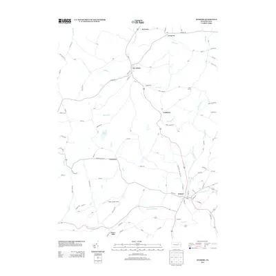
(20)- 2010 Map of Monroeton, 2010 Print
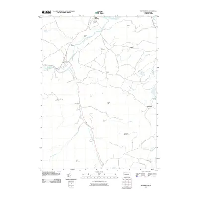 2010 Monroeton2010 Print · USGSCovers Terry Township, including Wysox Township, Asylum Township, and other nearby areas
 - 2010 Map of Wyalusing, 2010 Print
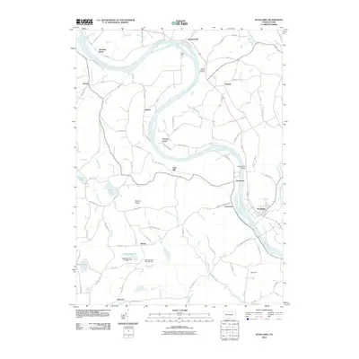 2010 Wyalusing2010 Print · USGSCovers Terry Township, including Wilmot Township, Asylum Township, and other nearby areas
 - 2010 Map of Colley, 2010 Print
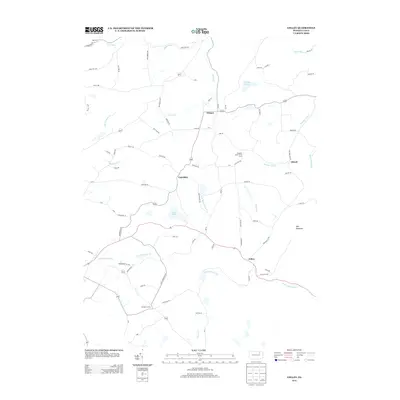
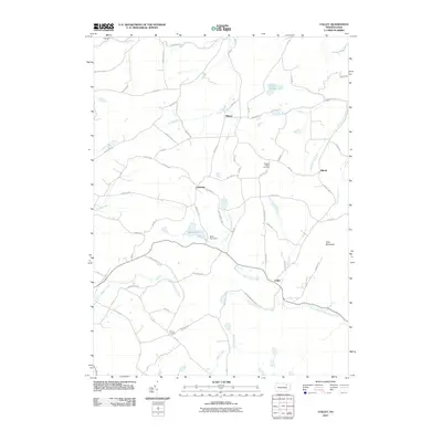 2010 Colley2010 Print · USGSCovers Terry Township, including Wilmot Township, Colley Township, and other nearby areas
 - 2010 Map of Dushore, 2010 Print
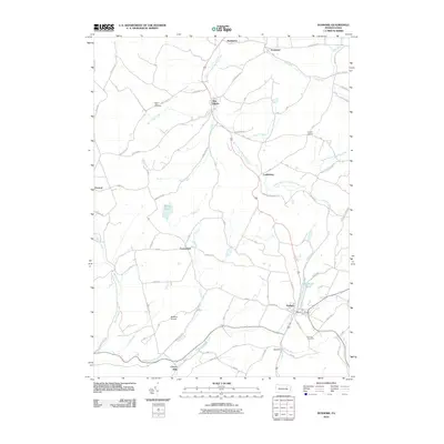 2010 Dushore2010 Print · USGSCovers Terry Township, including Dushore, New Albany, and other nearby areas
 - 2013 Map of Dushore, 2013 Print
 2013 Dushore2013 Print · USGSCovers Terry Township, including Dushore, New Albany, and other nearby areas
 - 2013 Map of Colley, 2013 Print
 2013 Colley2013 Print · USGSCovers Terry Township, including Wilmot Township, Colley Township, and other nearby areas
 - 2013 Map of Monroeton, 2013 Print
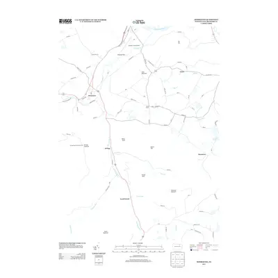 2013 Monroeton2013 Print · USGSCovers Terry Township, including Wysox Township, Asylum Township, and other nearby areas
 - 2013 Map of Wyalusing, 2013 Print
 2013 Wyalusing2013 Print · USGSCovers Terry Township, including Wilmot Township, Asylum Township, and other nearby areas
 - 2016 Map of Wyalusing, 2016 Print
 2016 Wyalusing2016 Print · USGSCovers Terry Township, including Wilmot Township, Asylum Township, and other nearby areas
 - 2016 Map of Monroeton, 2016 Print
 2016 Monroeton2016 Print · USGSCovers Terry Township, including Wysox Township, Asylum Township, and other nearby areas
 - 2016 Map of Colley, 2016 Print
 2016 Colley2016 Print · USGSCovers Terry Township, including Wilmot Township, Colley Township, and other nearby areas
 - 2016 Map of Dushore, 2016 Print
 2016 Dushore2016 Print · USGSCovers Terry Township, including Dushore, New Albany, and other nearby areas
 - 2019 Map of Wyalusing, 2019 Print
 2019 Wyalusing2019 Print · USGSCovers Terry Township, including Wilmot Township, Asylum Township, and other nearby areas
 - 2019 Map of Monroeton, 2019 Print
 2019 Monroeton2019 Print · USGSCovers Terry Township, including Wysox Township, Asylum Township, and other nearby areas
 - 2019 Map of Dushore, 2019 Print
 2019 Dushore2019 Print · USGSCovers Terry Township, including Dushore, New Albany, and other nearby areas
 - 2019 Map of Colley, 2019 Print
 2019 Colley2019 Print · USGSCovers Terry Township, including Wilmot Township, Colley Township, and other nearby areas
 - 2023 Map of Monroeton, 2023 Print
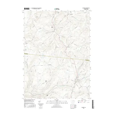
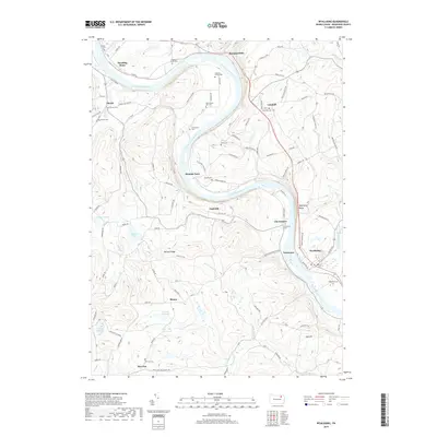
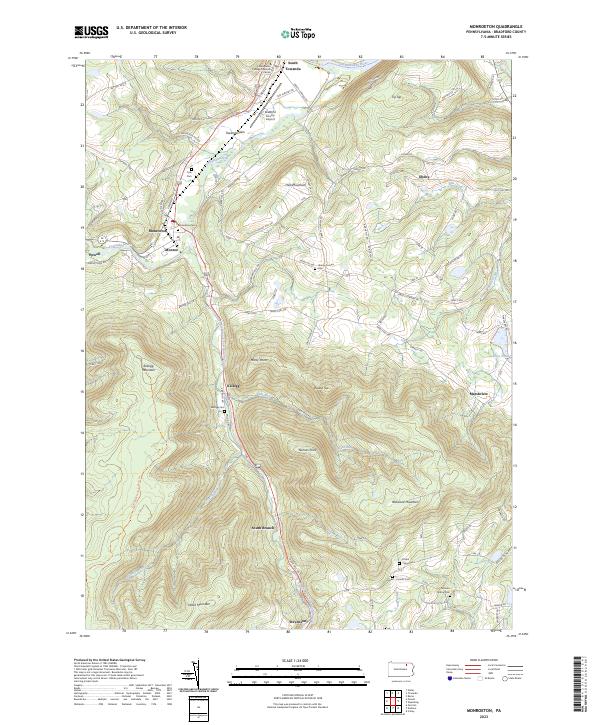 2023 Monroeton2023 Print · USGSThe Towanda Creek valley and surrounding Pennsylvania highlands are captured here in recent years, showing the area's rural character and mountain terrain. Genealogists can locate several burial sites including Kellogg Cem and Scrivens Hollow Cem near the banks of South Branch Towanda Creek.
 - 2023 Map of Wyalusing, 2023 Print
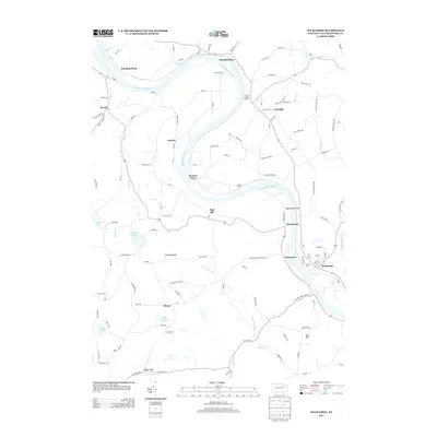
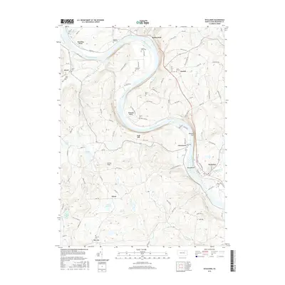
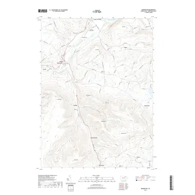
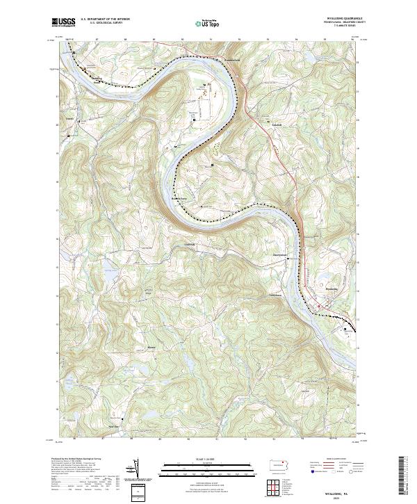 2023 Wyalusing2023 Print · USGSThe winding Susquehanna River defines this Bradford County landscape during the early twenty-first century. Genealogists can trace family names and local history through numerous burial sites like the Laporte Family Cem and the Universalist Church Cem.
 - 2023 Map of Dushore, 2023 Print
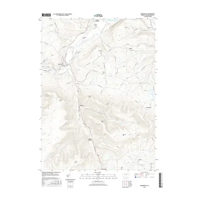
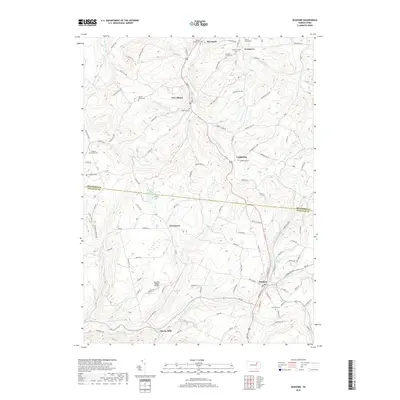
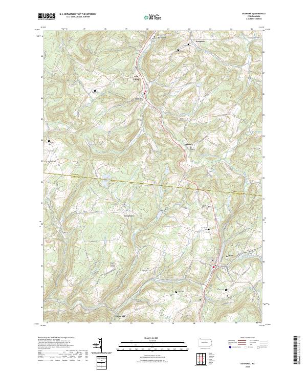 2023 Dushore2023 Print · USGSSullivan and Bradford counties appear in this modern survey of the uplands surrounding the Dushore borough. Genealogists can locate family burial grounds like the Heverly Family Cem and trace the paths of Little Loyalsock Creek through Cherry Mills.
 - 2023 Map of Colley, 2023 Print
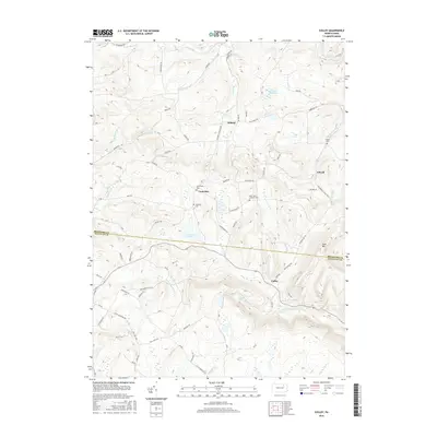
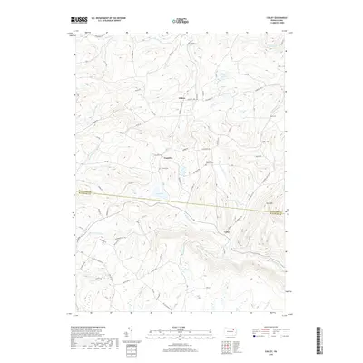
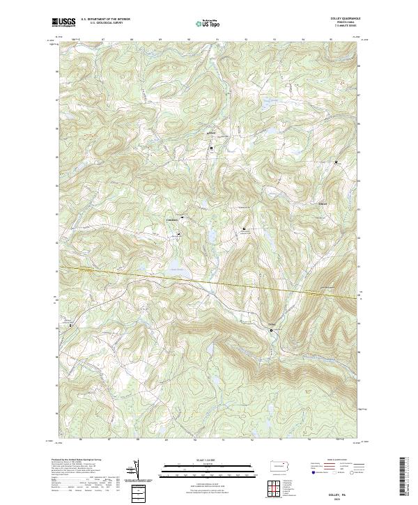 2023 Colley2023 Print · USGSThe rural borderlands of Bradford and Sullivan counties come alive in this recent survey. Local historians can trace family roots through numerous burial sites like Norconk Cem, Elwell Cem, and the church grounds at Old Zion Lutheran Cem.
End of results
Showing maps 1-20 of 20
Top cities near Terry Township
- Towanda historical maps
- Wysox Township historical maps
- Sheshequin Township historical maps
- Rush Township historical maps
- Ulster Township historical maps
- Wilmot Township historical maps
See more
Top neighborhoods of Terry Township
- Cherrytown historical maps
- Terrytown historical maps
- Rienze historical maps
- New Era historical maps
- Viall Hill historical maps
Frequently asked questions
- What are the different types of historical maps available for Terry Township?
- What is the oldest map of Terry Township?
- Where can I purchase historical maps of Terry Township for my home or office?
- Where can I download high-res historical maps of Terry Township?
- Are there historical topographic maps available for Terry Township?
- Is there historical aerial imagery available for Terry Township?
- Where are historical maps of Terry Township sourced from?