Old Maps of Terry Township, Pennsylvania for Metal Detecting
Plan your next treasure hunt with 33 historic maps of Terry Township. Find old homesites, ghost towns, trails, and gathering spots that may be lost to time — perfect for identifying promising metal detecting locations.
- Locate forgotten sites: Uncover places like long-lost settlements, abandoned rail lines, or gathering spots.
- Plan better hunts: Use map overlays combined with LiDAR or satellite views to narrow in on historically rich areas.
- Made for detectorists: Thousands of hobbyists use these maps to discover relics, coins, and hidden history.
Use these historic maps to boost your research and find new opportunities beneath the surface of Terry Township.
Terry Township, PA maps
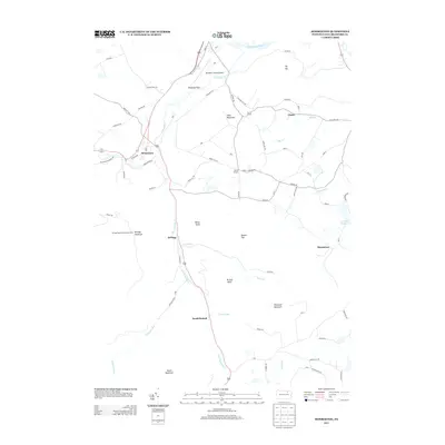
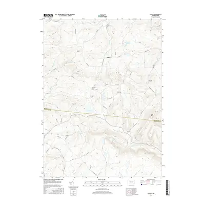
(33)- 1943 Map of Monroeton, 1945 Print
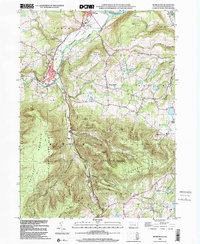
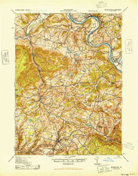 1943 Monroeton1945 Print · USGSThe Susquehanna River valley and the highlands of Bradford County are captured in detail here during the 1940s. Genealogists and local researchers can trace family landmarks like the French Asylum Church, Homets Ferry, and rural schoolhouses such as Bull Sch.3 unique versions available
 - 1954 Map of Williamsport
 1954 Williamsport1954 Print · USGSNorth-central Pennsylvania in the mid-fifties is defined by the winding West Branch Susquehanna River and its industrial valley. Local historians can trace the massive Susquehanna Ordnance Depot and the extensive rail networks of the Pennsylvania Railroad.
 - 1960 Map of Williamsport
 1960 Williamsport1960 Print · USGSNorth-central Pennsylvania in the mid-twentieth century was a vital corridor of rail and river industry stretching from the New York line to the coal regions. Genealogists can trace the rail networks of the Pennsylvania RR and Lehigh Valley RR connecting towns like Williamsport, Towanda, and Lock Haven.
 - 1962 Map of Williamsport, 1966 Print
 1962 Williamsport1966 Print · USGSNorth-central Pennsylvania was a landscape of industrial river hubs and vast state woodlands in the early sixties. Researchers can trace the path of the Pennsylvania Railroad through Williamsport and explore the remote reaches of Bucktail State Park.5 unique versions available
 - 1965 Map of Williamsport
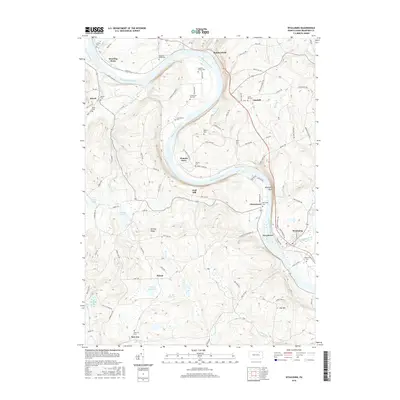
 1965 Williamsport1965 Print · USGSNorth-central Pennsylvania in the mid-1960s is defined by the industrial river towns and vast timberlands of the Allegheny Plateau. Researchers can trace historic rail lines like the Erie Lackawanna and Reading as they thread through Williamsport, Lock Haven, and Jersey Shore.
 - 1966 Map of Williamsport
 1966 Williamsport1966 Print · USGSThe Susquehanna Valley was a hub of transit and industry in the mid-seventies, where the river's West Branch connected major college towns and timberlands. Researchers can trace historical rail lines like the Reading or locate regional landmarks from Jersey Shore to Ricketts Glen State Park.
 - 1969 Map of Monroeton, 1973 Print
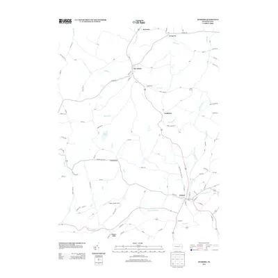
 1969 Monroeton1973 Print · USGSBradford County’s southern townships were defined by the winding valley of the Lehigh Valley railroad in the late sixties. Genealogists and local historians can locate rural burial grounds like Cole Cem and small settlements like Kellogg and Uhdey.4 unique versions available
 - 1969 Map of Colley, 1973 Print
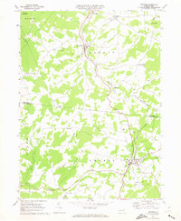
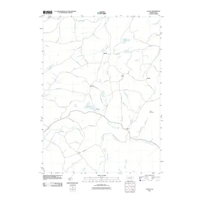
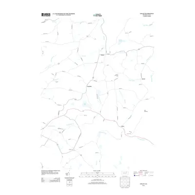
 1969 Colley1973 Print · USGSThe Bradford and Sullivan County line runs through this highland territory in the late sixties, where small mountain hamlets and conservation lands define the landscape. Researchers can trace family roots through sites like St Francis Church and the crossroads at Kinsley Corners.2 unique versions available
 - 1969 Map of Dushore, 1973 Print
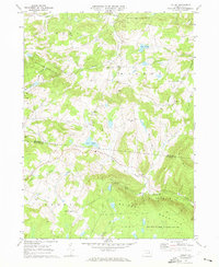
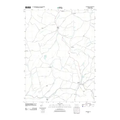
 1969 Dushore1973 Print · USGSThe highland communities of Sullivan and Bradford Counties are captured here in the late sixties as the mountain economy balanced timber, rail, and local industry. Researchers can locate family landmarks like Laddsburg, the Mt Tabor Cem, and the Lehigh Valley rail corridor.3 unique versions available
 - 1969 Map of Wyalusing, 1973 Print
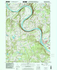
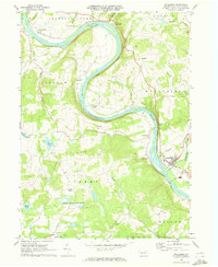 1969 Wyalusing1973 Print · USGSThe Susquehanna River dominates this Bradford County landscape in the 1960s, winding past historic riverfront settlements and railroad lines. You can trace the Lehigh Valley rail route, locate the French Asylum Ch, or explore the river crossing at Homets Ferry.
 - 1981 Map of Towanda, 1982 Print
 1981 Towanda1982 Print · USGSThe Susquehanna Valley at the turn of the 1980s reveals a region of mountain forests and busy river towns along the New York border. Researchers can trace the legacy of the CONRAIL lines through Sayre or locate remote landmarks like Armenia Mountain and Mt Pisgah State Park.
 - 1999 Map of Monroeton, 2001 Print
 1999 Monroeton2001 Print · USGSBradford County near the turn of the millennium shows a landscape where river valley industry meets high forest ridges. Genealogists and hikers can trace the Old Railroad Grade and locate family sites like Cole Cem or the settlement at Kellogg.
 - 1999 Map of Wyalusing, 2001 Print
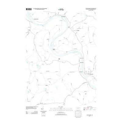
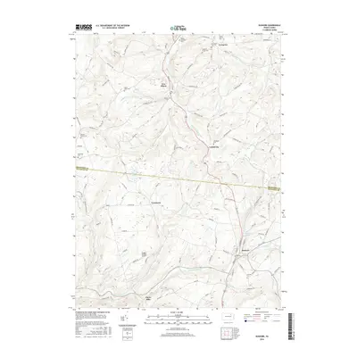
 1999 Wyalusing2001 Print · USGSBradford County’s river valley is centered here during the late nineties, where the Susquehanna's dramatic bends shaped local settlement patterns. Genealogists can trace family footprints near French Asylum, Terrytown, and the historic Standing Stone Ch.
 - 2010 Map of Monroeton, 2010 Print
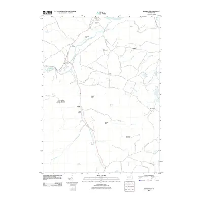 2010 Monroeton2010 Print · USGSCovers Terry Township, including Wysox Township, Asylum Township, and other nearby areas
 - 2010 Map of Wyalusing, 2010 Print
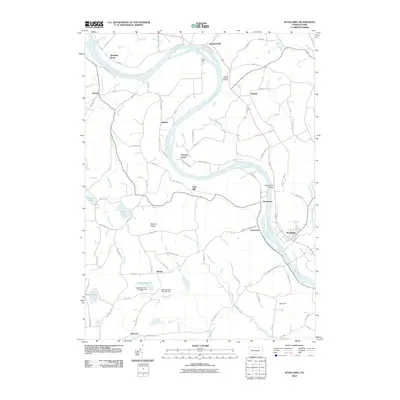 2010 Wyalusing2010 Print · USGSCovers Terry Township, including Wilmot Township, Asylum Township, and other nearby areas
 - 2010 Map of Colley, 2010 Print
 2010 Colley2010 Print · USGSCovers Terry Township, including Wilmot Township, Colley Township, and other nearby areas
 - 2010 Map of Dushore, 2010 Print
 2010 Dushore2010 Print · USGSCovers Terry Township, including Dushore, New Albany, and other nearby areas
 - 2013 Map of Dushore, 2013 Print
 2013 Dushore2013 Print · USGSCovers Terry Township, including Dushore, New Albany, and other nearby areas
 - 2013 Map of Colley, 2013 Print
 2013 Colley2013 Print · USGSCovers Terry Township, including Wilmot Township, Colley Township, and other nearby areas
 - 2013 Map of Monroeton, 2013 Print
 2013 Monroeton2013 Print · USGSCovers Terry Township, including Wysox Township, Asylum Township, and other nearby areas
 - 2013 Map of Wyalusing, 2013 Print
 2013 Wyalusing2013 Print · USGSCovers Terry Township, including Wilmot Township, Asylum Township, and other nearby areas
 - 2016 Map of Wyalusing, 2016 Print
 2016 Wyalusing2016 Print · USGSCovers Terry Township, including Wilmot Township, Asylum Township, and other nearby areas
 - 2016 Map of Monroeton, 2016 Print
 2016 Monroeton2016 Print · USGSCovers Terry Township, including Wysox Township, Asylum Township, and other nearby areas
 - 2016 Map of Colley, 2016 Print
 2016 Colley2016 Print · USGSCovers Terry Township, including Wilmot Township, Colley Township, and other nearby areas
 - 2016 Map of Dushore, 2016 Print
 2016 Dushore2016 Print · USGSCovers Terry Township, including Dushore, New Albany, and other nearby areas
Showing maps 1-25 of 33
Top cities near Terry Township
- Towanda historical maps
- Wysox Township historical maps
- Sheshequin Township historical maps
- Rush Township historical maps
- Ulster Township historical maps
- Wilmot Township historical maps
See more
Top neighborhoods of Terry Township
- Cherrytown historical maps
- Terrytown historical maps
- Rienze historical maps
- New Era historical maps
- Viall Hill historical maps
Frequently asked questions
- What are the different types of historical maps available for Terry Township?
- What is the oldest map of Terry Township?
- Where can I purchase historical maps of Terry Township for my home or office?
- Where can I download high-res historical maps of Terry Township?
- Are there historical topographic maps available for Terry Township?
- Is there historical aerial imagery available for Terry Township?
- Where are historical maps of Terry Township sourced from?