2000s (21st Century) Maps of Butler County, Pennsylvania
Explore 120 historic maps of Butler County from the 2000s (21st Century). These maps offer a rare glimpse into what life looked like during the 2000s — showing old roads, neighborhoods, homes, and landmarks that have changed or disappeared over time.
Whether you're researching your family's past, planning a metal detecting trip, or studying how Butler County's landscape evolved across the 2000s, these high-resolution maps are a powerful tool for exploring the history of this region.
- Focus on a specific era: All maps on this page are from the 2000s, giving you a focused view of this time period.
- See what’s changed: Compare century-old streets, trails, and buildings to today's modern landscape using overlays and satellite layers.
- Research with precision: Use these maps for genealogy, historical research, land use analysis, or educational projects.
- View, download, or print: Maps are fully viewable online in high resolution, and can be downloaded or printed for your own records.
Start exploring Butler County's history through authentic maps from the 2000s. This is your window into the past.
Butler County, PA maps
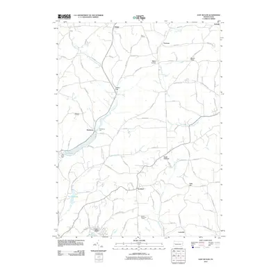
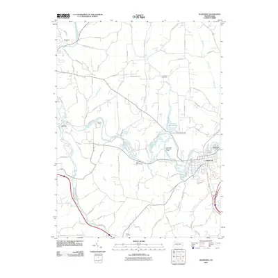
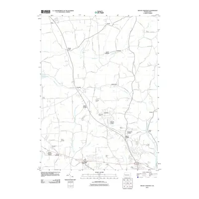
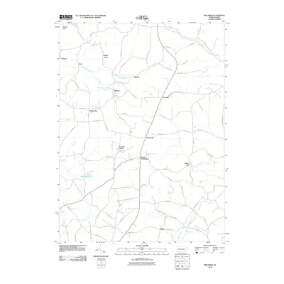
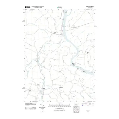
(120)- 2010 Map of Valencia, 2010 Print
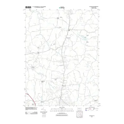 2010 Valencia2010 Print · USGSCovers Butler County, including Clinton Township, Bairdford, and other nearby areas
 - 2010 Map of Baden, 2010 Print
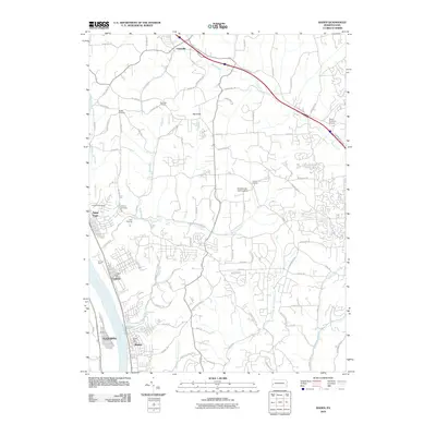 2010 Baden2010 Print · USGSCovers Butler County, including Cranberry Township, Center Township, and other nearby areas
 - 2010 Map of Saxonburg, 2010 Print
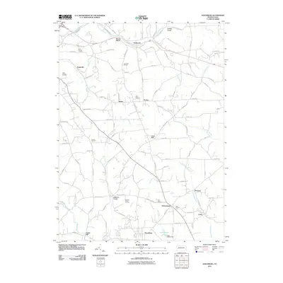 2010 Saxonburg2010 Print · USGSCovers Butler County, including Saxonburg, Brinker, and other nearby areas
 - 2010 Map of Chicora, 2010 Print
 2010 Chicora2010 Print · USGSCovers Butler County, including Chicora, Bradys Bend Township, and other nearby areas
 - 2010 Map of Prospect, 2010 Print
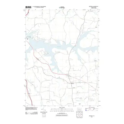 2010 Prospect2010 Print · USGSCovers Butler County, including Prospect, Connoquenessing Township, and other nearby areas
 - 2010 Map of East Butler, 2010 Print
 2010 East Butler2010 Print · USGSCovers Butler County, including East Butler, Concord Township, and other nearby areas
 - 2010 Map of Mars, 2010 Print
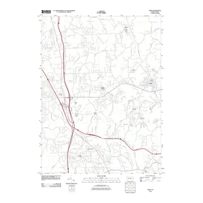 2010 Mars2010 Print · USGSCovers Butler County, including Cranberry Township, Seven Fields, and other nearby areas
 - 2010 Map of Freeport, 2010 Print
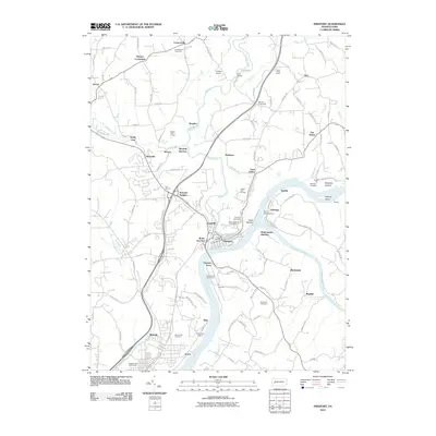 2010 Freeport2010 Print · USGSCovers Butler County, including Harrison Township, Freeport, and other nearby areas
 - 2010 Map of Worthington, 2010 Print
 2010 Worthington2010 Print · USGSCovers Butler County, including North Buffalo Township, Worthington, and other nearby areas
 - 2010 Map of Zelienople, 2010 Print
 2010 Zelienople2010 Print · USGSCovers Butler County, including Zelienople, Harmony, and other nearby areas
 - 2010 Map of Butler, 2010 Print
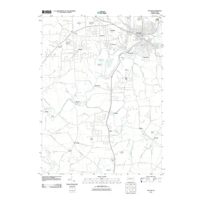 2010 Butler2010 Print · USGSCovers Butler County, including Butler, Connoquenessing Township, and other nearby areas
 - 2010 Map of Evans City, 2010 Print
 2010 Evans City2010 Print · USGSCovers Butler County, including Evans City, Connoquenessing, and other nearby areas
 - 2010 Map of Portersville, 2010 Print
 2010 Portersville2010 Print · USGSCovers Butler County, including Portersville, Wayne Township, and other nearby areas
 - 2010 Map of Mount Chestnut, 2010 Print
 2010 Mount Chestnut2010 Print · USGSCovers Butler County, including Butler, Muddy Creek, and other nearby areas
 - 2010 Map of Curtisville, 2010 Print
 2010 Curtisville2010 Print · USGSCovers Butler County, including Clinton Township, Curtisville, and other nearby areas
 - 2010 Map of Slippery Rock, 2010 Print
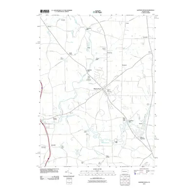 2010 Slippery Rock2010 Print · USGSCovers Butler County, including Slippery Rock, Plain Grove Township, and other nearby areas
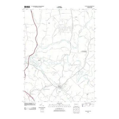
 - 2010 Map of Grove City, 2010 Print
 2010 Grove City2010 Print · USGSCovers Butler County, including Grove City, Harrisville, and other nearby areas
 - 2010 Map of Hilliards, 2010 Print
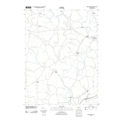
 2010 Hilliards2010 Print · USGSCovers Butler County, including Concord Township, Washington Township, and other nearby areas
 - 2010 Map of Emlenton, 2010 Print
 2010 Emlenton2010 Print · USGSCovers Butler County, including Rockland Township, Emlenton, and other nearby areas
 - 2010 Map of Barkeyville, 2010 Print
 2010 Barkeyville2010 Print · USGSCovers Butler County, including Barkeyville, Irwin Township, and other nearby areas
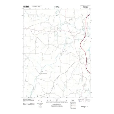
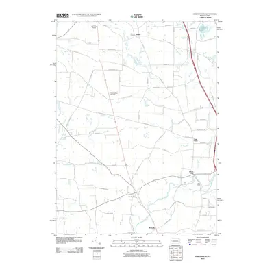
 - 2010 Map of West Sunbury, 2010 Print
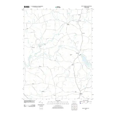 2010 West Sunbury2010 Print · USGSCovers Butler County, including West Sunbury, Concord Township, and other nearby areas
 - 2010 Map of Parker, 2010 Print
 2010 Parker2010 Print · USGSCovers Butler County, including Toby Township, Bradys Bend Township, and other nearby areas
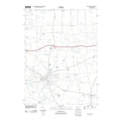
 - 2010 Map of Eau Claire, 2010 Print
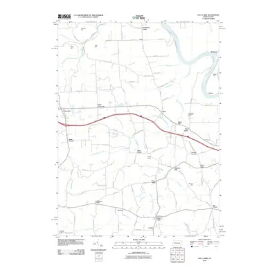 2010 Eau Claire2010 Print · USGSCovers Butler County, including Rockland Township, Clintonville, and other nearby areas
 - 2010 Map of Harlansburg, 2010 Print
 2010 Harlansburg2010 Print · USGSCovers Butler County, including Plain Grove Township, Rockville, and other nearby areas
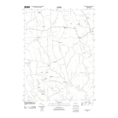
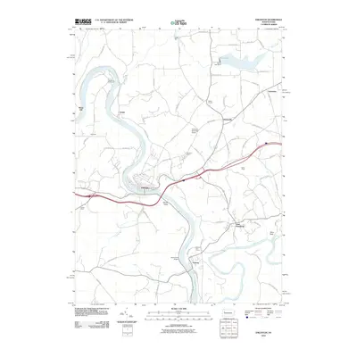
 - 2013 Map of Prospect, 2013 Print
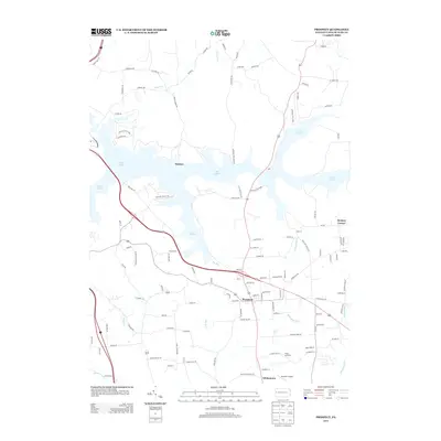 2013 Prospect2013 Print · USGSCovers Butler County, including Prospect, Connoquenessing Township, and other nearby areas
Showing maps 1-25 of 120
Top cities of Butler County
- Cranberry Township historical maps
- Butler historical maps
- Zelienople historical maps
- Slippery Rock historical maps
- Clinton Township historical maps
- Seven Fields historical maps
See more
Frequently asked questions
- What are the different types of historical maps available for Butler County?
- What is the oldest map of Butler County?
- Where can I purchase historical maps of Butler County for my home or office?
- Where can I download high-res historical maps of Butler County?
- Are there historical topographic maps available for Butler County?
- Is there historical aerial imagery available for Butler County?
- Where are historical maps of Butler County sourced from?